Starting point: Podgrad (283 m)
| Lat/Lon: | 46,06642°N 14,63698°E |
| |
Time of walking: 1 h
Difficulty: easy unmarked way
Altitude difference: 247 m
Altitude difference po putu: 300 m
Map: Ljubljana - okolica 1:50.000
Recommended equipment (summer):
Recommended equipment (winter):
Views: 1.360
 | 1 person likes this post |
Access to the starting point:
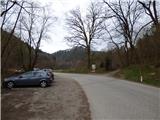
From the Ljubljana Eastern Bypass, take the Ljubljana - East exit and continue along Zaloška Road towards Zaloga. Continue along the main road towards Podhrad. In Podgrad, turn right through the underpass under the railway line and then continue along a relatively narrow road towards Besnica and Janče. Just before the end of Podgrad, park in the parking lot on the left side of the road. If the parking lot is busy, you can turn right at this point onto cart track by the information board and cross the stream over the wooden bridge. There is then some space for parking.
Path description:
From the parking lot, first cross the main road and, passing an information board describing the Ostrovrharje trail, take the cart track and cross the Besnica stream via a wooden bridge. Cart track turns left and leads to a crossroads where there is also a sign for the Ostrovrharjeva cesta.
At the crossroads, turn sharp right to where the marker also directs you. The path here follows the cart track and climbs steeply through the forest. Occasionally, we also get some views towards Podgrad. There is also a smaller cart track branching off from our trail up to the left, and we continue straight on until we reach a sharp left turn where the marked trail from Podgrad joins us from the right.
Here we continue left up the cart track, which leads us again to a crossroads at a right bend. Here, leave the cart track, which leads to the nearby Osterberg Castle or Villa Kansky, and turn left onto the footpath, where we are also directed by the Ostrovrharjeva cesta sign. After a short steep climb, you reach a ridge where there is also an information board describing the (new) Osterberg Castle. Access to the castle itself is forbidden (private property).
We continue left along the wooded ridge and the path leads us past another information board where the border between Itali and Germany was during the Second World War. The trail continues through the forest, mostly in a southerly direction, and later leads to a crossroads.
Here we have to be a bit more careful as the crossroads are poorly marked. At a distance of just over 10 metres, two paths branch off to the right, the second of which also has a small signpost with the inscription Zalog. Take one of these paths, which after a few metres leads to a ridge where there is another crossroads and a bench.
This time, continue left along the ridge, and the path to Zalog leads down to the right.
The path then runs slightly to the left of the ridge for some time and soon leads us back to the ridge where we are joined on the right by the "Hard Variant" from Zalog.
The path continues along the wooded ridge and ascends and descends gently a few times. Occasionally, a small view opens up through the forest, especially in the direction of Ljubljana. We continue along the ridge and the path from the old Osterberg Castle joins us from the left. There is a slightly steeper climb where you will see a cross or chapel in a hollow tree trunk along the way. The path then leads to the top, in the middle of which stands a wooden lookout tower.

Pictures:
 1
1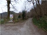 2
2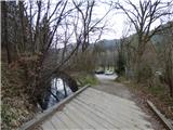 3
3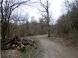 4
4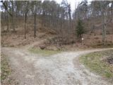 5
5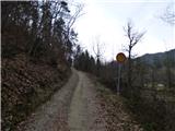 6
6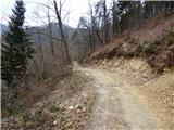 7
7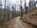 8
8 9
9 10
10 11
11 12
12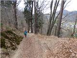 13
13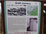 14
14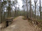 15
15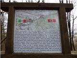 16
16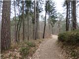 17
17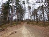 18
18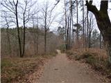 19
19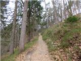 20
20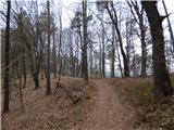 21
21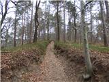 22
22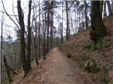 23
23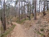 24
24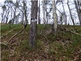 25
25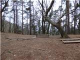 26
26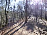 27
27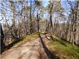 28
28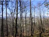 29
29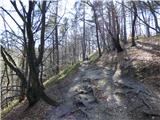 30
30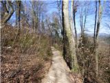 31
31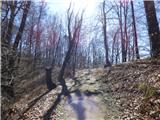 32
32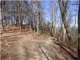 33
33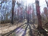 34
34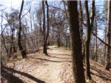 35
35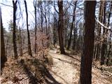 36
36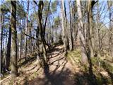 37
37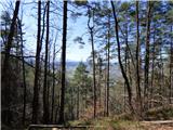 38
38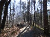 39
39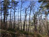 40
40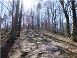 41
41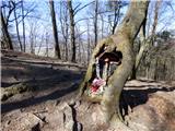 42
42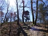 43
43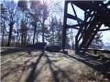 44
44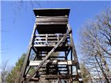 45
45 46
46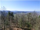 47
47 48
48 49
49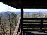 50
50
Discussion about the trail Podgrad - Debenji vrh