Podkanja vas / Wildenstein - Waterfall Podkanjski slap / Wildensteiner Wasserfall
Starting point: Podkanja vas / Wildenstein (511 m)
| Lat/Lon: | 46,5388°N 14,509°E |
| |
Time of walking: 20 min
Difficulty: easy marked way
Altitude difference: 129 m
Altitude difference po putu: 129 m
Map: Karavanke - osrednji del 1:50.000
Recommended equipment (summer):
Recommended equipment (winter): ice axe, crampons
Views: 2.099
 | 1 person likes this post |
Access to the starting point:
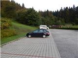
a) Take the Border crossing Ljubelj road into Austria, then turn right at Podljubelj / Unterloibl in the direction of the Hofer store. When you arrive in Borovlje / Ferlach, turn left at the junction a little after the railway line (there is a Eurospar shop to the right of the junction), and at the next junction, after a few 100 metres, turn right in the direction of Železna Kaple / Bad Eisenkappel. Towards Železna Kaple, drive to Podkanja vas / Wildenstein, where signs for Waterfall Podkanjski slap point you to the right. There is a short climb up a slightly narrower road, and then you arrive at a well-maintained parking lot (there is also a guest house and a museum at the starting point).
b) Cross the Border crossing Jezerski vrh into Austria, then after Železna Kapla turn left towards Klagenfurt and Borovlj / Ferlach. Continue along the main road towards Borovlje, and we drive to Podkanja vas / Wildenstein, where the signs for Waterfall Podkanjski slap direct us to the left. There is a bit of a climb up a slightly narrower road, and then we reach a nicely maintained parking lot (there is also a guest house and a museum at the starting point).
c) Drive into Podjuna, then follow the signs for Železna Kaplo / Bad Eisenkappel. After the village of Miklavčevo / Miklauzhof, leave the road towards Železna Kapla and continue to the right in the direction of Klagenfurt / Klagenfurt and Borovlj / Ferlach. Continue along the main road towards Borovlje, and we drive to Podkanja vas / Wildenstein, where the signs for Waterfall Podkanjski slap direct us to the left. There is a bit of a climb up a slightly narrower road, and then we reach a nicely laid-out parking lot (there is also a guest house and a museum at the starting point).
Path description:
From the starting point, continue along the wide tourist trail in the direction of Waterfall Podkanjski slap and Obirje. At first, the path climbs in a few serpentines, then after a short scenic part, the path turns into a forest and narrows slightly. After a few minutes of further walking, the marked path to Obir branches off from the wide path to the right, and we continue straight ahead and after a minute of further walking we reach a well-maintained lookout point at the Podkanjski waterfall.
Description and pictures refer to the situation in 2017 (August).
Pictures:
 1
1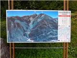 2
2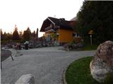 3
3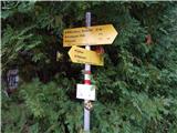 4
4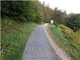 5
5 6
6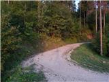 7
7 8
8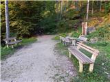 9
9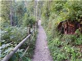 10
10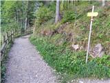 11
11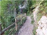 12
12 13
13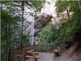 14
14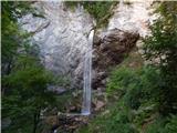 15
15
Discussion about the trail Podkanja vas / Wildenstein - Waterfall Podkanjski slap / Wildensteiner Wasserfall