Podkilavac - Dom Hahlić (Mudna dol)
Starting point: Podkilavac (320 m)
Name of path: Mudna dol
Time of walking: 3 h 30 min
Difficulty: very difficult marked way
Altitude difference: 777 m
Altitude difference po putu: 950 m
Map:
Recommended equipment (summer): helmet, self belay set
Recommended equipment (winter):
Views: 4.650
 | 3 people like this post |
Access to the starting point:
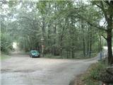
Leave the Zagreb - Rijeka / Rijeka motorway at the Grobniško polje exit, Čavle. Drive into the town of Čavle, where you will see signs for the village of Dražice. Go right in the direction of Dražice and after a few minutes you will arrive in the above-mentioned place. In Dražice, just after the petrol station, we arrive at a roundabout, where we go on to the village of Podkilavac (it is not marked, it is best to ask, but since the official start of this route is in Dražice, there are visible mountain signs). In Podkilavac, we just go on along the main road to the very end of the village, where we will see mountain signs by the little bridge.
Path description:
From the crossroads, cross the small bridge, where you will immediately leave the worse asphalt. A fork leads to the wider cart track (as the markings in this part are poor, you can orientate yourself along the power line), which you quickly leave and go left along the narrower cart track. This time follow the cart track to a crossroads, where you will take the right path, which descends slightly (straight home to Hahlić - the ridge path). The path ahead leads you to a large meadow with a few individual trees, where you will turn left to the north. There will also be an abandoned farm along the way.
After the farm you will come to a place where you have to turn sharp right and slightly downhill (the turn-off is not well marked). There are a few more well-marked forks and, after crossing a stone wall, you will come to a small meadow where the path for Platak branches off to the right. We go straight ahead and quickly reach the start of Mudna doli.
Mudna dol is a kind of gorge of the Sušice stream. At the beginning of Mudna dol there is another crossroads, where the east ridge trail branches off to the right and we go straight ahead. The gorge becomes narrower and narrower, and the bedrock is replaced by rocks.
After about 20 minutes from the crossroads, we will come to a gully where the trail seems to end, but soon we will see a small rope and a couple of scrambles on our left. Here we climb up and come to a natural basin, which is very interesting. From the cauldron we climb again, this time on an almost vertical but quite smooth rock, where we are helped by a rope.
After this challenging section, we continue into the central part of Mudna Dolina. There are some small rocky jumps, which are partly difficult. The gorge widens for a short time, and then we reach the most difficult part of the route, where we are helped by a zip wire. The path here is almost vertical and consequently the difficulty is very high (in the wet it is quite difficult to cross). There are no wedges or crampons, just a few small places for your foot in the rock. After the first ascent, we reach the cauldron, where a ladder is helpful for our progress. At the top of the ladder there is also a signing book.
From the place where the book is, you climb up the rock with the help of some pegs. After the most difficult part, we arrive in the narrowest part of the Mudna Důl. There is a steep climb, where we quickly gain altitude, but the direct ascent is quickly stopped by a jump, which we go around on the right side. Above the jumps, the gorge begins to widen and we reach the last steel cable, where we cross a smooth rock slab. After a few minutes we reach an interesting scree slope, after which we finally leave the stream bed and climb steeply up the grassy slope. Here it seems that we have to climb all the way up to the rocky tooth, where there is an exceptional viewpoint, and we turn right at the mogic.
The path continues into the forest and becomes steep again. Higher up, we leave the forest and arrive at a meadow. The path is well trodden and the winter markings are helpful. At the end of the meadow, you reach cart track and go left.
Cart track leads to two crossroads. Go left at the first one and straight ahead at the second one (on the left is the Vidalj peak with an outstanding view).
From the pass, which is also the highest point of our route, the path starts to descend through the forest. When we leave the forest, we are back in the meadow. There are few signs here, but the path is well trodden and there are no orienteering problems. Soon we reach the next pass, where there is another crossroads (Fratar peak on the right, Dnić peak on the left), where we continue straight ahead.
Here again the markings are sparse, and we stick to the meadow, where we will see the markings for the Hahlić home on the only tree. Keep going and after a small pass the path leads into the forest, where you quickly reach the Hahlić home.
Mudna dol is the longest gorge in Croatia. The path is not passable during and after rain.

Pictures:
 1
1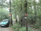 2
2 3
3 4
4 5
5 6
6 7
7 8
8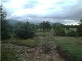 9
9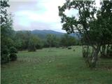 10
10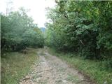 11
11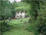 12
12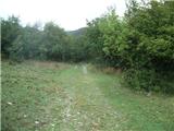 13
13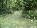 14
14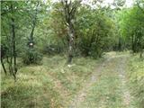 15
15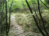 16
16 17
17 18
18 19
19 20
20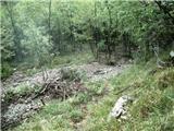 21
21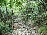 22
22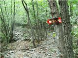 23
23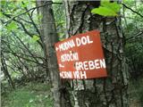 24
24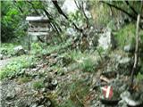 25
25 26
26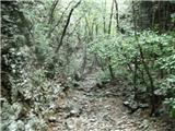 27
27 28
28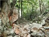 29
29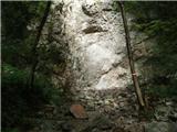 30
30 31
31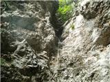 32
32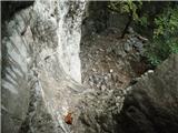 33
33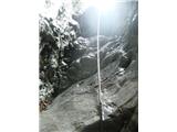 34
34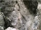 35
35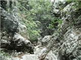 36
36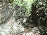 37
37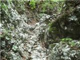 38
38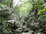 39
39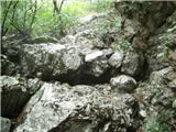 40
40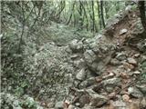 41
41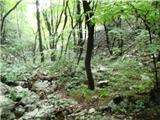 42
42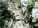 43
43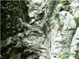 44
44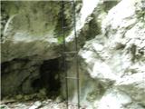 45
45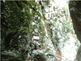 46
46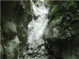 47
47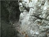 48
48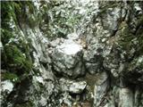 49
49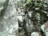 50
50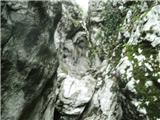 51
51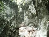 52
52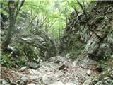 53
53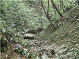 54
54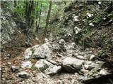 55
55 56
56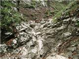 57
57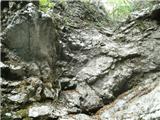 58
58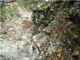 59
59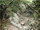 60
60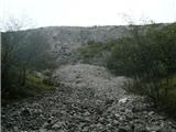 61
61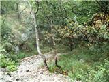 62
62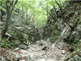 63
63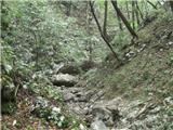 64
64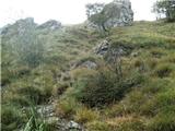 65
65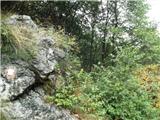 66
66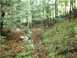 67
67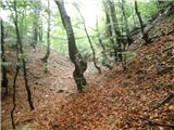 68
68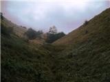 69
69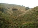 70
70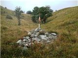 71
71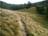 72
72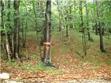 73
73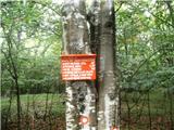 74
74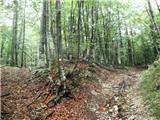 75
75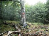 76
76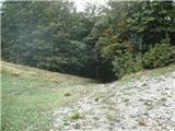 77
77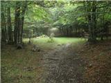 78
78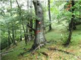 79
79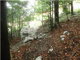 80
80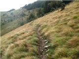 81
81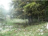 82
82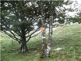 83
83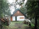 84
84
Discussion about the trail Podkilavac - Dom Hahlić (Mudna dol)
|
| nisa8. 10. 2015 |
Zelo lepa in zanimiva pot. Kot je že omenjeno, prehodna je v suhem vremenu.
Priporočam.
|
|
|
|
| ben19. 02. 2017 |
Naj opozorim, da je trenutno pot skozi Mudno dol neprehodna!! Manjka lestev na fotografiji št. 45. Napredovanje preko 3 metrske previsne stopnje za običajnega gornika ni možno!!! Opozoril tako na vstopu kot na izstopu NI!! Oskrbnik na Hahliću mi je povedal, da je obvestilo o zaprtju na internetu, če veš kje ga iskati! 
|
|
|
|
| smatjaz28. 05. 2018 |
Lepo prehodno in lepa tura, definitivno pa v suhem, saj je Mudna dol kanjon hudournika Mudna in po deževju in med deževjem še bolj je tam preveč nevarno
|
|
|
|
| smatjaz28. 05. 2018 |
....popravek hudournika Sušica in ne Mudna... 
|
|
|
|
| majase2116. 11. 2020 |
Prekrasna in zelo atraktivna pot, vendar je res le za takrat ko je zelo suho.
|
|
|