Podkraj / Unterort - Končnikov vrh (Peca)
Starting point: Podkraj / Unterort (650 m)
| Lat/Lon: | 46,5426°N 14,7744°E |
| |
Time of walking: 4 h 20 min
Difficulty: easy marked way
Altitude difference: 1459 m
Altitude difference po putu: 1480 m
Map: Koroška 1:50.000
Recommended equipment (summer):
Recommended equipment (winter): ice axe, crampons
Views: 4.077
 | 1 person likes this post |
Access to the starting point:
a) Cross Border crossing Jezerski vrh into Austria, then after about 6 km after Železna Kapla / Bad Eisenkappel turn right towards Velikowiec / Völkermarkt. Follow the main road towards Velikowiec for 2 km, then turn right again, this time towards Pliberk / Bleiburg. Continue along the Podjuna valley, then turn right at the next major junction towards Pliberk. The road continues through several roundabouts, and we follow it towards the Peca / Petzen ski resort. We continue through Bistrica near Pliberk / Feistritz near Bleiburg to the large parking lot at the bottom station of the cable car to Peca. From Border crossing Jezerski vrh to the starting point is about 40 km.
b) From Dravograd or Slovenj Gradec, drive to Ravne na Koroškem and then continue in the direction of Border crossing Holmec. Once in Austria, first drive towards Pliberk / Bleiburg, then follow the signs for the Peca / Petzen ski resort. Continue through a few villages, and we follow the road to the large parking lot at the bottom station of the lift to Peca. From Border crossing Holmec to the starting point is about 8 km.
Path description:
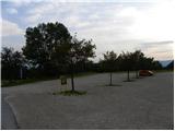
From the parking lot, first walk to the bottom station of the circular cable car leading to Peca, then take the path marked 3, 7 and 8. The path initially leads along the wide cart track, which quickly leads to the ski slope. Continue along the left edge of the ski slope, then the path turns slightly to the right and leads into a dense forest. Here it joins the cart track, which descends gently to a nearby marked crossroads.
From the crossroads, continue along the ascending road to the left, where you are also guided by the signs for routes 3 and 7. A few minutes higher up, the road splits into two, where you continue to the left along route 3 (to the right, initially slightly downhill, route 3). A little over 100 m higher, join the marked trail leading from the village of Rute / Ruttach, crossing the worse forest road several times as you go. Higher up, the road finally ends, and we continue between two rocks into the forest. The path continues to climb steeply through the forest, which offers pleasant shade on hot days. Higher up, the forest gradually starts to thin out, and we start to get beautiful views of Podjuna and the Golice mountain range. A little further on, the track turns quite a bit to the left and leads us under the steep slopes of Mala Peca, where, in the middle of a bend to the right, a climbing route called the Walter Mory Klettersteig branches off to the left, leading to the upper station of the circular cable car.
From the crossroads, continue right, first crossing a steep scree slope before turning right and crossing a small gully. Cross the slopes to the right for a short distance, then the path turns slightly to the left, where it quickly leads to the vicinity of a dilapidated wooden shack. From here, continue the short climb and arrive at a marked crossroads at the hunting lodge Na Križah.
At the crossroads in front of the hunting lodge, continue left along route No 3. At first, the path, which is quite gentle, crosses slopes through a larch forest, and then soon begins to climb a little steeper. The path continues to ascend the slopes to the east and leads out of the forest to cart track. There is only a short climb to an artificial lake from which there is a beautiful view of the surrounding peaks. From the lake, continue along a wide path on a grassy slope to the top station of the cable car, which can already be seen ahead.
At the upper cable car station where there is a crossroads, continue to the right following the signs "P12 Kordeschkopf". At first you walk along the slope cart track, then the path turns to the right and starts to climb up along the ski slope. The path then briefly turns left off the ski slope into the woods before climbing back up along the edge of the ski slope. When you reach the top of the ski slope, continue left and then climb for a short distance up along dwarf pines. Later, the dwarf pines becomes a little thinner and then there is a short climb up a grassy slope to a crossroads on the boundary ridge (near Knips' Saddle).
At the crossroads continue right (left Petzen) and climb quickly to Končnikov vrh.

Pictures:
 1
1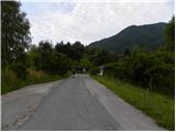 2
2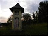 3
3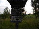 4
4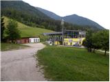 5
5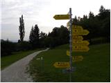 6
6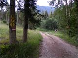 7
7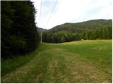 8
8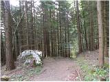 9
9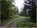 10
10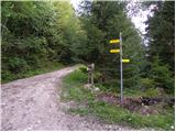 11
11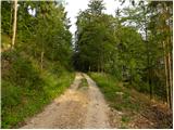 12
12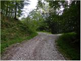 13
13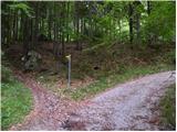 14
14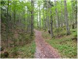 15
15 16
16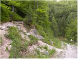 17
17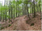 18
18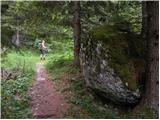 19
19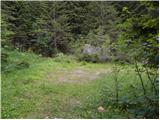 20
20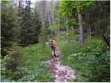 21
21 22
22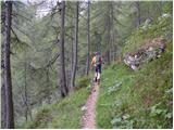 23
23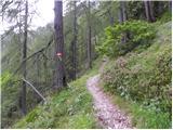 24
24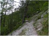 25
25 26
26 27
27 28
28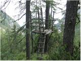 29
29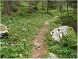 30
30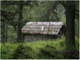 31
31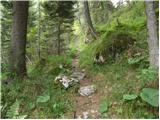 32
32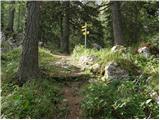 33
33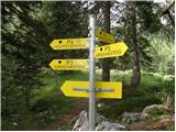 34
34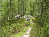 35
35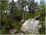 36
36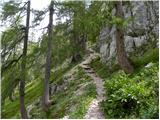 37
37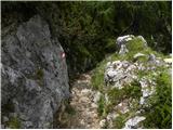 38
38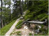 39
39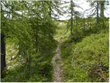 40
40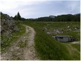 41
41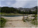 42
42 43
43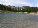 44
44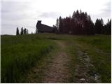 45
45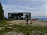 46
46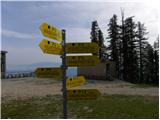 47
47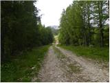 48
48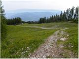 49
49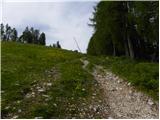 50
50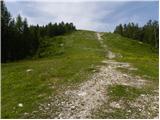 51
51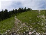 52
52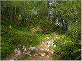 53
53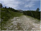 54
54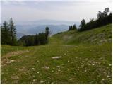 55
55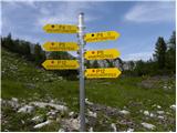 56
56 57
57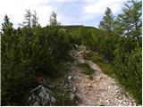 58
58 59
59 60
60 61
61 62
62 63
63 64
64 65
65 66
66
Discussion about the trail Podkraj / Unterort - Končnikov vrh (Peca)