Podljubelj / Unterloibl - Singerberg / Žingarica
Starting point: Podljubelj / Unterloibl (518 m)
| Lat/Lon: | 46,5119°N 14,2886°E |
| |
Time of walking: 3 h
Difficulty: easy unmarked way
Altitude difference: 1071 m
Altitude difference po putu: 1085 m
Map: Karavanke - osrednji del 1:50.000
Recommended equipment (summer):
Recommended equipment (winter): ice axe, crampons
Views: 579
 | 1 person likes this post |
Access to the starting point:
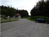
Via Border crossing Ljubelj, drive to Austria, where you take the main road to Klagenfurt to the settlement Podljubelj / Unterloibl, where you park in the cemetery parking lot towards the end of the settlement. The cemetery is on the left side of the main road and the parking lot is on the right side.
Path description:
From the starting point, continue along the main road towards Ljubelj, where, shortly after the settlement ends, the path leads past a large chapel and a turnoff to the nearby quarry. Continue straight ahead, and go left before the village of Podgora / Unterbergen begins. The path ahead leads along a gated forest road, which climbs gently up the north-eastern slope. During the ascent, we have a few good views of the surrounding countryside and mountains, and after a break the path switches to the northern slopes of Singerberg. A little further on, a fine view opens up in the direction of Klagenfurt, and the road lays down and leads to a small crossroads, where you continue slightly left (right down Zingar / Singerbauer).
After the junction, the road starts to climb again more visibly, and at a couple of junctions follow the road that appears to be the main or wider road.
Higher up, at an altitude of about 1200 m, the road turns westwards and then continues for some time in a gentle ascent. Walk along the road for a few minutes and then you will reach the marked path Trnje - Žingarica.
At this point, leave the road and continue your ascent along the marked path, which crosses the forest road a few more times and then begins to climb steeply in a number of switchbacks. Higher up, the trail turns slightly right and climbs steeply. It then crosses a pasture fence, where the path reaches a ridge, lays down and turns right.
Less than 5 minutes' walk later, the path leads to the top of Singerberg, and it is worth walking a further 10 steps to get a good view.
Description and pictures refer to 2018 (June).

Pictures:
 1
1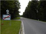 2
2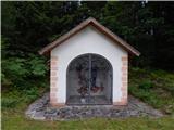 3
3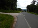 4
4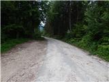 5
5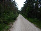 6
6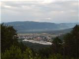 7
7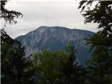 8
8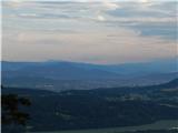 9
9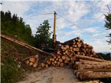 10
10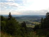 11
11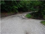 12
12 13
13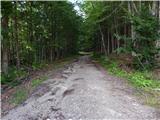 14
14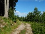 15
15 16
16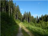 17
17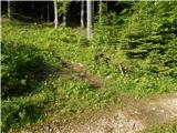 18
18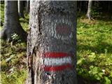 19
19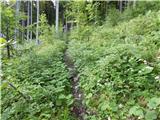 20
20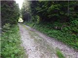 21
21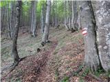 22
22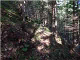 23
23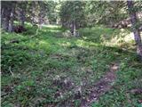 24
24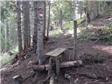 25
25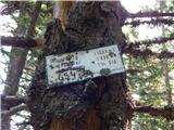 26
26 27
27 28
28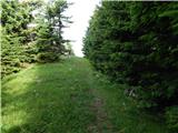 29
29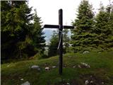 30
30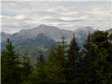 31
31
Discussion about the trail Podljubelj / Unterloibl - Singerberg / Žingarica