Podljubelj - Veliki vrh (Košuta) (via Matizovec)
Starting point: Podljubelj (658 m)
| Lat/Lon: | 46,3979°N 14,2876°E |
| |
Name of path: via Matizovec
Time of walking: 4 h 15 min
Difficulty: easy marked way
Altitude difference: 1430 m
Altitude difference po putu: 1430 m
Map: Karavanke - osrednji del 1:50.000
Recommended equipment (summer):
Recommended equipment (winter): ice axe, crampons
Views: 21.984
 | 1 person likes this post |
Access to the starting point:
From the motorway Ljubljana - Jesenice, take the exit Podtabor (Tržič, Ljubelj), then continue to Ljubelj. After about 6 km from the petrol station at Bistrica pri Tržiču, we leave the main road, as the signs for Podljubelj direct us to the right onto the local road. Just a little further on, we arrive at the next crossroads, where we continue right and then after a few 10 m we park in a suitable place in the middle of the village.
If you turn left at the junction as you enter Podljubelj, it will be difficult to find a suitable parking space.
Path description:
From the starting point, go back a few 10 m to the crossroads, and from there continue along the asphalt road in the direction of Matizovec and Kofc. The road then starts to climb moderately through the village, then it is laid and leads us to a small crossroads, where we continue to the right in the direction of Kofc.
We continue for some time on the asphalt road, which leads us past a small cross to a hamlet of a few houses (Pod Košuto). Here we continue straight ahead on a slightly steeper road, which soon loses its asphalt coating. Some 10 m further on, there is a large gravel parking area, which you pass on the right. From the road, which offers occasional views of Dobrča and the surrounding mountains, a few bends higher, a marked footpath branches off to the right, crossing one bend. The footpath returns to the road at the last bend in front of the Matizovec farm.
From Matizovec, continue on the worse road in the direction of Dom na Kofcah , and we follow the markings carefully at successive forks. After a few minutes of walking on the worse road or cart track, the signs direct us to a steep footpath, which first climbs steeply to the left, then crosses over to a wooded ridge, where it turns slightly to the right. Continue along the steep mountain path, which crosses the cart track at a higher level and gradually flattens out behind it. Just a little further on, the forest thins out and the waymarked path turns right into the forest and joins cart track a little higher up, which climbs cross-climbing to the right. Cart track turns left higher up, and the marked path from Kala joins us from the right.
From the crossroads onwards, the forest ends, and the increasingly scenic route leads us within 5 minutes of further walking to Doma na Kofcah.
From the mountain home, continue in the direction of Veliki vrh and Kladiva along the initially slightly less visible path, which begins to climb over the meadow. After a 15-minute walk from the Home on Kofcah, you will reach a beautiful viewpoint at the cross.
The path then descends gently and leads us in a few minutes to the steeper slopes of Košuta. The path then climbs over lane of dwarf pines, where it leads to a crossroads. Continue straight on (right Kladivo and Kofce gora) along the path, which climbs crosswise over steeper and steeper slopes. The path continues along the uncultivated slope and soon leads us to a short steep section where we are helped by a rope ladder (not difficult). After crossing this part, the path turns slightly to the left and continues to climb relatively steeply over the grassy slope. The increasingly scenic route then leads us into a small valley, which we climb almost to the border ridge, where the ridge path joins us from the right. The path then passes from the valley to the southern slopes again, where it bypasses the summit of "Toplar (2000m)" on the southern side, and then leads us under the summit slope of Veliká vrh (Big Peak). The path, which for some time ran along the ridge, here just withdraws and continues in a cross-climb on the slopes. Higher up the path turns sharp right and then leads us in a few minutes to a scenic peak. Podljubelj - Matizovec 1:15, Matizovec - Kofce 1:15, Kofce - Veliki Vrh 1:45.

Pictures:
 1
1 2
2 3
3 4
4 5
5 6
6 7
7 8
8 9
9 10
10 11
11 12
12 13
13 14
14 15
15 16
16 17
17 18
18 19
19 20
20 21
21 22
22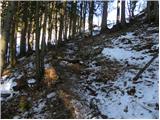 23
23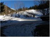 24
24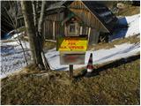 25
25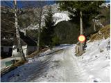 26
26 27
27 28
28 29
29 30
30 31
31 32
32 33
33 34
34 35
35 36
36 37
37 38
38 39
39 40
40 41
41 42
42 43
43 44
44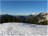 45
45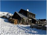 46
46 47
47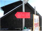 48
48 49
49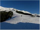 50
50 51
51 52
52 53
53 54
54 55
55 56
56 57
57 58
58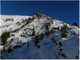 59
59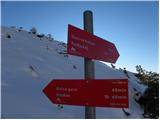 60
60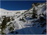 61
61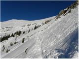 62
62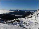 63
63 64
64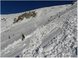 65
65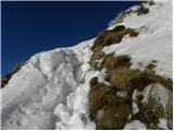 66
66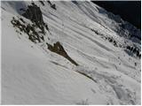 67
67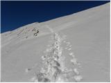 68
68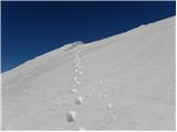 69
69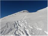 70
70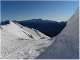 71
71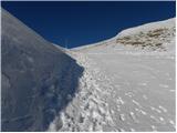 72
72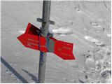 73
73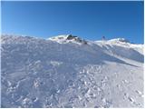 74
74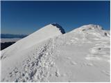 75
75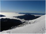 76
76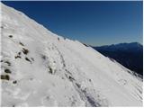 77
77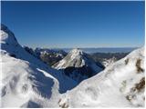 78
78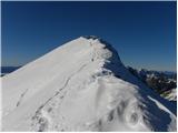 79
79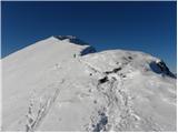 80
80 81
81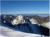 82
82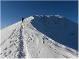 83
83 84
84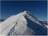 85
85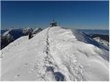 86
86 87
87
Discussion about the trail Podljubelj - Veliki vrh (Košuta) (via Matizovec)
|
| falcon1. 01. 2012 |
Lep pohod. V zimskih razmerah potrebna pozornost pred vrhom. 
|
|
|
|
| misace18. 05. 2017 |
V torek 16.5.2017, malo drugače. Zadnji asfaltni odcep kakšen kilometer nižje desno in po makadamu do Vasovnika. Po lepih kolovozih in strmem šodru na greben pod Kofcami, na VV, in čez Malo Kladivo in planine Šija mimo zdaj stalno odprte Planšarije na Kofcah nazaj 
|
|
|