Podnanos - Sveta Ana (Razguri) (via Vrabče)
Starting point: Podnanos (175 m)
| Lat/Lon: | 45,7973°N 13,972°E |
| |
Name of path: via Vrabče
Time of walking: 2 h
Difficulty: easy unmarked way
Altitude difference: 385 m
Altitude difference po putu: 400 m
Map:
Recommended equipment (summer):
Recommended equipment (winter):
Views: 1.360
 | 2 people like this post |
Access to the starting point:
a) Leave the Vipava expressway at the Vipava exit and continue to Podnanos. When you arrive in Podnanos, you can park at the beginning of the village by the cemetery, or in the parking lot in the middle of the village.
b) Leave the Primorska motorway at exit Razdrto and continue along the old road towards Nova Gorica. When the road stops going downhill, you will quickly arrive at Podnanos, where you will park in the parking lot in the middle of the village.
Path description:
From Podnanos, the birthplace of the Slovenian national anthem, we take the road towards the village of Orehovica. After a few minutes' walk, you will reach the village where the path to Kjecl and Sveti Socerb turns off to the right, and a little further on, to the left, to Sv. Trojici. In both cases, continue straight on, and at the end of the village Orehovica, cross the Pasji tail stream. About 30 metres after the bridge, leave the asphalt road and follow the path to the left onto a macadam road that continues between vineyards and gardens. The road soon takes us back to the left bank of the Pasji tail, but when the dirt road turns left to a nearby house, we go right, again across the stream. At times of high water the crossing is a little awkward, and the cart track we follow soon turns left. A little further on, at the next crossroads, go left, where, above a small waterfall, cross the stream once more, and then cart track forks. Take the upper right cart track, which starts to climb steeply and makes some serpentines higher up, and at the forks follow the cart track, which climbs more steeply. During the ascent, only occasionally some views open up, as the route mostly passes through dense forest. Higher up, we return to the asphalt road, which, with fine views of the surrounding hills, quickly reaches a marked crossroads in the immediate vicinity of the village of Vrabče.
From the crossroads, continue right (left Vrabče) in the direction of Štanjel and Štjaka. There is a moderate ascent along the asphalt road, which is still quite scenic at first, and then follow it all the way to the Church of St. Anne, located above the village of Razguri.
Description and pictures refer to the situation in 2016 (November).

Pictures:
 1
1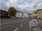 2
2 3
3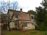 4
4 5
5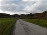 6
6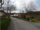 7
7 8
8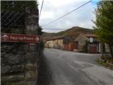 9
9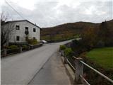 10
10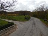 11
11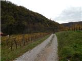 12
12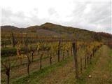 13
13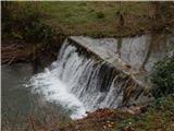 14
14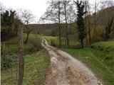 15
15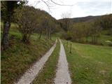 16
16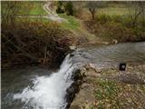 17
17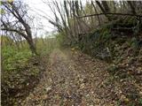 18
18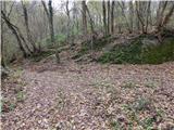 19
19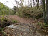 20
20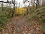 21
21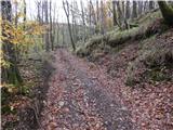 22
22 23
23 24
24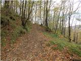 25
25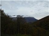 26
26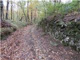 27
27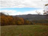 28
28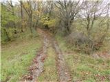 29
29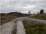 30
30 31
31 32
32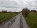 33
33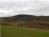 34
34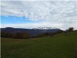 35
35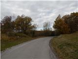 36
36 37
37 38
38 39
39 40
40 41
41 42
42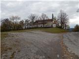 43
43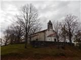 44
44
Discussion about the trail Podnanos - Sveta Ana (Razguri) (via Vrabče)