Podnanos - Sveti Miklavž above Vipava
Starting point: Podnanos (175 m)
| Lat/Lon: | 45,7972°N 13,9725°E |
| |
Time of walking: 1 h 5 min
Difficulty: easy marked way
Altitude difference: 263 m
Altitude difference po putu: 300 m
Map: Nanos 1:50.000
Recommended equipment (summer):
Recommended equipment (winter):
Views: 4.866
 | 2 people like this post |
Access to the starting point:
From Razdrto take the expressway to Nova Gorica or vice versa and take the Vipava exit. After leaving the motorway, you will reach the old road, which you follow in the direction of Podnanosa. When you arrive in Podnanos, turn left to the nearby primary school, post office and shop. Park in the large parking lot in front of these buildings.
Path description:
Near the information board about Nanos, we see the first signs for Abram, the hunting lodge and Vojko's hut, which direct us to the road that continues along the nearby school playground. After the playground, we arrive at a small crossroads where the signs for Nanos direct us to the right, and we continue straight along the road, which turns left and ends at a nearby house. Continue over a small bridge and then immediately after it to the right, where you walk directly along the water for a short distance. A little further on, we join an asphalt road, which leads us to a small crossroads, where we continue to the right, and then a little further on we cross the Močilnik stream. The road continues past the Furlan wine cellar, after which the settlement slowly comes to an end. At the end of the settlement, we arrive at a crossroads, where we continue to the right in the direction of the "run" and the intervention access to the expressway over Rebrnice. Continue along the asphalt road, which, a few 10 metres further on, leads to the next crossroads, where we again continue to the right in the direction of the "walk and run" (the road to the left leads to the nearby houses). Just a little further on, the path to the right branches off along the route of the run, and we continue along the asphalt road, which we follow up above the expressway. On the other side of the expressway, which you cross at the edge of the tunnel entrance, the asphalt ends and the road turns left, bringing you to a small crossroads where you take a sharp right. From the macadam road, just a few steps higher, in the middle of a sharp left turn, a marked path branches off to the right, leading to Abram (the path over Konja), the Vojkovo hunting lodge and the Vojkova hut on Nanos.
From this crossroads, continue in the direction of St. Nicholas and Gradiška Tura and continue along the macadam road, which you follow until it starts to descend.
At the point where the road starts to descend, there is a fork to the right cart track, after which you continue ascending and quickly arrive at a marked crossroads. Continue left again (Abram and hunting lodge to the right - the path joins the path that branched off ours to the right just above the expressway), and we see a notice along the way that we are entering a bear area. We continue for some time on the cart track, which climbs transversely to the left. The way ahead (even up to now) is relatively poorly marked, but it leads past several unmarked crossroads. To avoid going off the right path, it is a good idea to choose the cart track at the crossroads, which climbs transversely to the left. After about 1 hour's walk, you will come out on a slightly wider path (a bad road), which you follow to the left, and we will walk along it to the church of St Nicholas in 5 minutes.

Pictures:
 1
1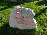 2
2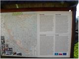 3
3 4
4 5
5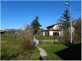 6
6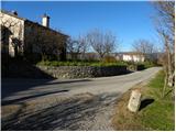 7
7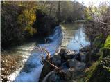 8
8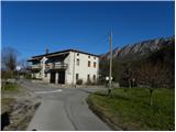 9
9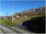 10
10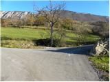 11
11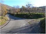 12
12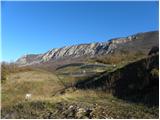 13
13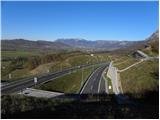 14
14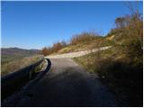 15
15 16
16 17
17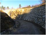 18
18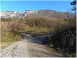 19
19 20
20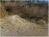 21
21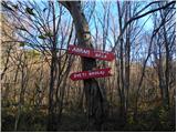 22
22 23
23 24
24 25
25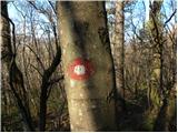 26
26 27
27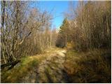 28
28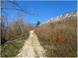 29
29 30
30 31
31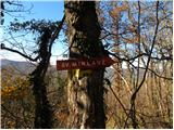 32
32 33
33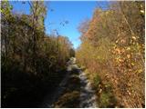 34
34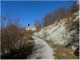 35
35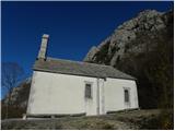 36
36
Discussion about the trail Podnanos - Sveti Miklavž above Vipava
|
| darinka425. 05. 2018 |
Sem si malo ogledala poti včeraj , ko sem bila pri cerkvi. Širša pot pripelje s Podnanosa. Vendar je daljša kot tista z izhodišča od kamp ture.Če imaš lepo vreme je tura prav prijetna.
|
|
|
|
| valerija11225. 05. 2018 |
Po tej poti sem že hodila,naslednjič bom res poiskala tisto od cerkve do Gradiške ture.
Si bom izbrala eno lepo jutro,da ne bo krize,če se malo izgubim.
|
|
|
|
| darinka426. 05. 2018 |
Če greš iz smeri kamp tura proti cerkvici skoraj ne moreš zgrešit odcepa. Piše na stebru , podobno kot so opisi plezalnih sten na stebrih vso pot.
|
|
|
|
| mirank26. 05. 2018 |
Po moje se v 15-20min hoje kolkor traja pot od ture do tam ne moreš izgubit
|
|
|
|
| valerija11224. 07. 2018 |
Darinka,hvala za idejo in napotke.
Danes zjutraj sem šla iz Gradišča do cerkvice,potem pa na Gradiško turo in čez Plaz nazaj.Lepa turca,senčka je pripomogla,da ni bilo prevroče.
|
|
|