Podnar / Bodenbauer - Srednja peč
Starting point: Podnar / Bodenbauer (1052 m)
| Lat/Lon: | 46,4678°N 14,2152°E |
| |
Time of walking: 3 h 45 min
Difficulty: difficult marked way, difficult pathless terrain
Altitude difference: 868 m
Altitude difference po putu: 1045 m
Map: Karavanke - osrednji del 1:50.000
Recommended equipment (summer): helmet, self belay set
Recommended equipment (winter): helmet, self belay set, ice axe, crampons
Views: 497
 | 1 person likes this post |
Access to the starting point:
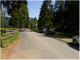
We drive to the Ljubelj border crossing and on to the Austrian side. Shortly after, when you see a small church on the left side of the road, the road to the Poden / Bodental valley branches off to the left. At the crossroads after the village of Slovenji Plajberk / Windisch Bleiberg turn left towards Žabnica / Bodental. In Žabnica you will reach the mountain signs for Celovška koča / Klagenfurter Hütte pointing left and right. Turn left and follow the road to the end of the asphalt, where you will park in the parking lot near the pasture fences.
Path description:
From the parking lot, take the forest road closed to traffic and marked "Marchenwiese". The forest road leads through the forest on a slight incline to a pleasant meadow, where you can enjoy a beautiful view of the northern walls of Vertatscha and Palec. Continue across the meadow where the path is more difficult to follow and on the other side look for cart track which goes slightly upwards into the forest. After walking for a few minutes along cart track, the signs direct us to the right onto a footpath which soon crosses a torrent along which it then climbs. The path then follows the torrent slightly to the right and leads us to a small clearing where the waymarked path directs us slightly further to the right. The path continues to climb steeply and after a good 30 minutes' walk leads us to a crossroads where we continue to the left (right Ogrisalm 5 minutes).
The steepness eases here and the path passes out of the forest between dwarf pines. Cross a scree slope and then descend gently downhill with the help of a rope ladder. From here on the path is exposed to falling rocks. Further on, the well-protected path starts to climb up a steep rocky slope. At the top of this easier climbing section, you will come to a sign-in box where you can sign in. The difficulty of the route disappears after this and in a cross-climb you reach the Vrata saddle. The way forward starts to descend and in a few minutes leads us to a crossroads where we continue straight on (right Ovčji vrh) and in a few minutes of gentle descent we reach the Celovška hut.
From the hut, turn right in the direction of Stol / Hochstuhl, Bielschitza / Bielschitz and Prešeren's hut and continue along the gently sloping cart track, which turns into a mountain trail at a slightly lower level, and this trail takes us through the lane of dwarf pines to the scree below Bielschitza. The way forward climbs crosswise over the first scree, then leads us to a short steep part, where we are helped by a small rope when crossing. This short and not particularly technically demanding part of the route ends quickly and the route continues over scree, over which a wide and well-maintained path leads. With a view of the surrounding walls, we then climb without much difficulty to the Belščica saddle, where there is a marked crossroads. From the Belščica saddle, from where the path to Bielschitza branches off to the left, continue straight ahead and continue in the direction of Vertatscha, Prešernova hut and Zelenica. Cross the grassy slopes for a few minutes and then reach a point where the path to Vertatscha branches off to the left and we continue straight down. The path ahead descends steeply down a ravine at first, then turns right to open scree, over which it climbs cross-country. Higher up, leave the scree and descend gently to a nearby crossroads where you join the upper and lower paths to Stol.
From this crossroads, continue sharp left in the direction Zelenica (slightly right Stol), then after a few 10 steps, before the path starts to descend visibly, you will see a small cairn on the right and a nice passage along the trackless path towards the saddle between the massif of Stol and Srednja stove.
Continue along the edge of dwarf pines, along a nice transitional chasm, with individual cairns pointing in the right direction. After about 5 minutes, we arrive at a small pass to the west of Srednja peč, where we see a fainter path on the left across a scree slope. Climb up to this track and then cross the scree to the right. When the scree ends, the path leads through a narrow lane of dwarf pines, then the fainter path turns left along dwarf pines steeply uphill and ends after a few steps in relatively steep grass. The ascent continues along dwarf pines steeply upwards, and we continue in roughly the same direction until we reach the ridge, where the fainter track reappears. We continue right, a little further on also through a short lane of the burnt dwarf pines, and then climb along and along the ridge, which is occasionally precipitous to the left, to a little-visited and scenic summit.
Starting point - Klagenfurter Hutte 2:15, Klagenfurter Hutte - Srednja peč 1:30.

Pictures:
 1
1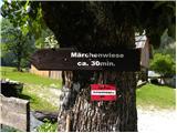 2
2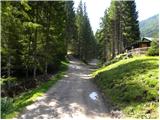 3
3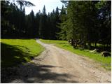 4
4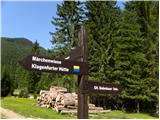 5
5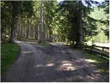 6
6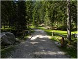 7
7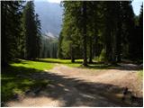 8
8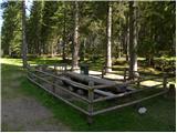 9
9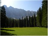 10
10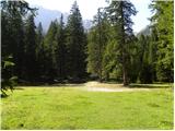 11
11 12
12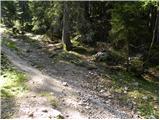 13
13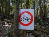 14
14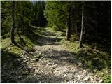 15
15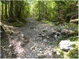 16
16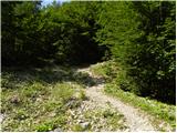 17
17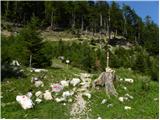 18
18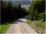 19
19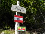 20
20 21
21 22
22 23
23 24
24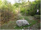 25
25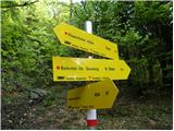 26
26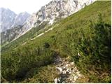 27
27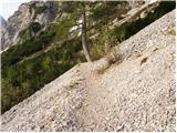 28
28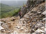 29
29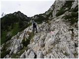 30
30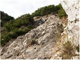 31
31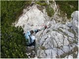 32
32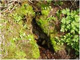 33
33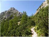 34
34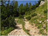 35
35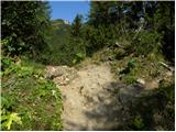 36
36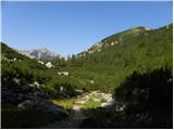 37
37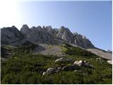 38
38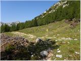 39
39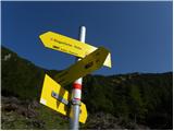 40
40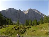 41
41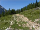 42
42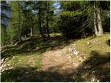 43
43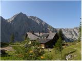 44
44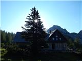 45
45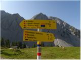 46
46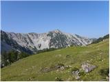 47
47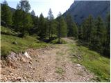 48
48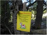 49
49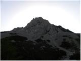 50
50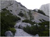 51
51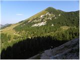 52
52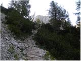 53
53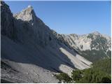 54
54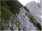 55
55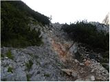 56
56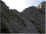 57
57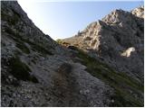 58
58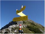 59
59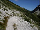 60
60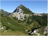 61
61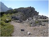 62
62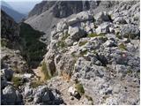 63
63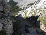 64
64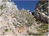 65
65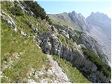 66
66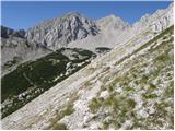 67
67 68
68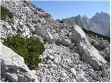 69
69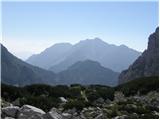 70
70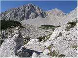 71
71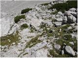 72
72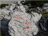 73
73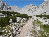 74
74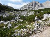 75
75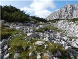 76
76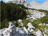 77
77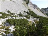 78
78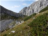 79
79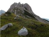 80
80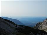 81
81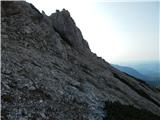 82
82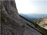 83
83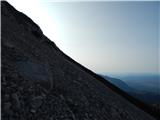 84
84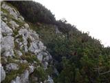 85
85 86
86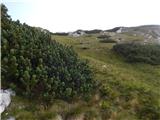 87
87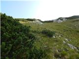 88
88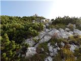 89
89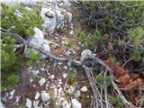 90
90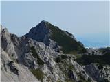 91
91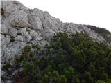 92
92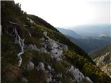 93
93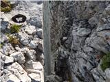 94
94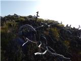 95
95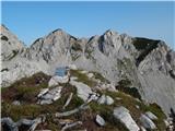 96
96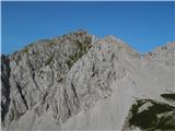 97
97
Discussion about the trail Podnar / Bodenbauer - Srednja peč