Podrožca / Rosenbach - Mittagskogel/Kepa
Starting point: Podrožca / Rosenbach (630 m)
| Lat/Lon: | 46,522°N 14,029°E |
| |
Time of walking: 5 h 10 min
Difficulty: difficult marked way
Altitude difference: 1513 m
Altitude difference po putu: 1540 m
Map:
Recommended equipment (summer): helmet
Recommended equipment (winter): helmet, ice axe, crampons
Views: 1.350
 | 1 person likes this post |
Access to the starting point:
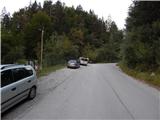
Drive through the Karavanke Tunnel into Austria, then take the motorway to Bialystok, leaving at the first exit. From the point where you leave the motorway, follow the signs for St. Jakob in the Roses / Sankt Jakob im Rosental. When you arrive at the town, leave the main road and continue driving to the right in the direction of Podrozca / Rosenbach. After a few kilometres of further driving, you will arrive near the railway station in Podrozca, where you continue downhill to the left and then at the next junction to the right in the direction of the Medji Dol valley / Bärental. Continue along a slightly narrower asphalt road, which you follow to the first crossroads, at which you will see mountain direction signs. Park in a suitable space on the side of the road.
From the toll station at Hrušice to the starting point is about 23 km.
Path description:
From the starting point, continue along the right-hand road in the direction of Koča Berta and Kepe / Mittagskogel (straight ahead Koča na Golici, Dovška Baba. . . ), where you pass through some underpasses. After the railway and motorway underpasses, where you follow the signs at the crossroads, the road leads you into the torrential valley of Gračenica / Gratschenichengraben, where the rather crumbly slope, especially during and after rain, increases the possibility of falling rocks (there is also a high risk of falling rocks when the snow is melting, but even in fine weather the route is not without danger). Walk along the gorge for about an hour, then the valley widens and the path leads to a marked crossroads where you leave the macadam road.
Continue straight ahead towards Kepe (right, the mountain pasture / Rossalm) and walk along the torrent for a while, crossing the Gračenica stream / Gratschenitzengraben a few times (it is safer to continue on the road in high water, as the marked path may be impassable). After about 20 minutes, return to the road, and then follow the road up a mostly moderate ascent in numerous serpentines. With occasional views, especially towards Kepa, after about three hours' walking you reach mountain pasture Borovščica / Ferlacher Alm.
A few minutes of gentle climbing and you will reach a marked crossroads at the Borovščica / Ferlacher Sattel saddle, located between Kepa on the left and Kamnica / Ferlacher Spitze on the right.
Continue sharp left on the marked path towards Kepa (left Mittagskogel along the north-east ridge, straight ahead Hotel Mittagskogel, right Koča Berta - 5 minutes and Kamnica - 45 minutes). The way ahead is initially quite steep and mostly crosses the slopes to the left. As the path starts to climb, however, you quickly reach a crumbly gully where the path may be damaged by rainfall, and emergency tools are stowed in front of the gully to repair the path in case of emergency. In the second part of the gully crossing we have some fixed safety gear to help us, and then a steep climb. Further on, we climb along a nicely surfaced path which crosses a few more ravines, but the passage over them is easier. The path, which is becoming more and more scenic, is getting closer and closer to the foot of the Dovška Mala Kepa walls, but it does not pass right under the wall, as there is a larger torrent between the path and the wall, so the path is not too exposed to falling rocks. Higher up, the path turns to the right, where two more ravines are crossed, followed by a fairly steady climb towards the state border. The last part of the ascent to the border becomes steeper, but when you reach the border ridge, the marked path from Erjavec's rovt joins from the left. Continue to the right, initially walking along a ridge, before the path switches to the Austrian side, where it climbs cross-climbing to the main summit, which is reached after a few minutes of further walking.
Starting point - saddle Borovščica 3:10, saddle Borovščica - Mittagskogel 2:00.
Description and pictures refer to the situation in 2018 (August).

Pictures:
 1
1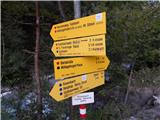 2
2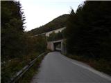 3
3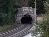 4
4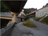 5
5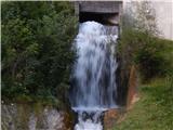 6
6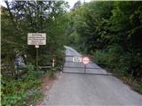 7
7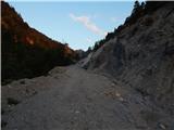 8
8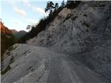 9
9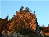 10
10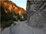 11
11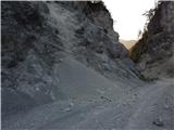 12
12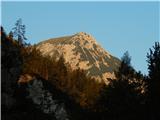 13
13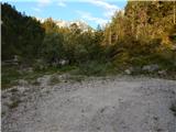 14
14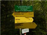 15
15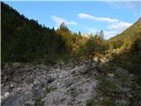 16
16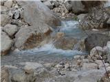 17
17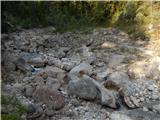 18
18 19
19 20
20 21
21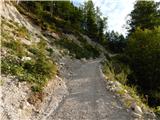 22
22 23
23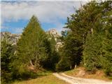 24
24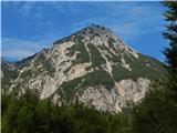 25
25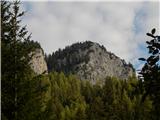 26
26 27
27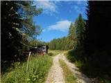 28
28 29
29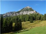 30
30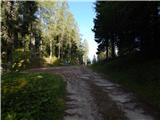 31
31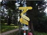 32
32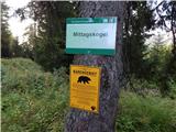 33
33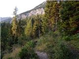 34
34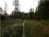 35
35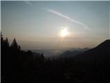 36
36 37
37 38
38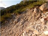 39
39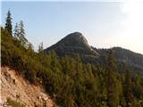 40
40 41
41 42
42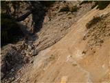 43
43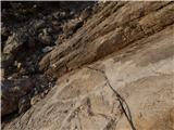 44
44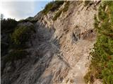 45
45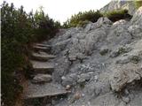 46
46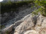 47
47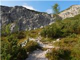 48
48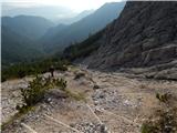 49
49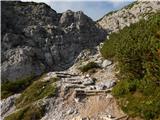 50
50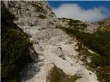 51
51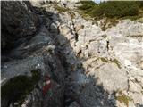 52
52 53
53 54
54 55
55 56
56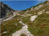 57
57 58
58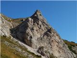 59
59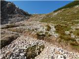 60
60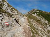 61
61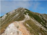 62
62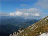 63
63 64
64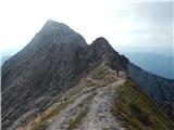 65
65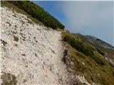 66
66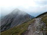 67
67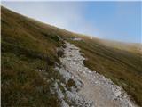 68
68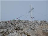 69
69 70
70
Discussion about the trail Podrožca / Rosenbach - Mittagskogel/Kepa