Starting point: Poklon (922 m)
Time of walking: 2 h 30 min
Difficulty: easy marked way
Altitude difference: 350 m
Altitude difference po putu: 400 m
Map:
Recommended equipment (summer):
Recommended equipment (winter):
Views: 9.269
 | 2 people like this post |
Access to the starting point:
From Ilirska Bistrica, cross the Jelšane border crossing and drive towards Rijeka. Leave the motorway towards Rijeka at the Jurdani exit and follow the road to Matulji, where signs for Učka point to the right. Follow this road, which climbs quite steeply, to a large parking lot in Poklon.
Path description:
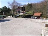
From the parking lot, head towards the mountain lodge at Poklon, which is located on the main road. From the house, walk along the road for about 50m, then turn right after the bridge in the direction of Planik. The forest road quickly leads us up a slight incline to the first crossroads, where we continue along the lower road on the left. After an hour's walk with a few descents and ascents, the road leads us to the next crossroads, where the path from Lipoglava joins us from the left. Continue in the direction of Planika along the road, which gradually passes from the forest to the uncultivated slopes. After about half an hour's walk on the panoramic slopes, the path goes into the forest again, where you reach the next crossroads. Continue along the right-hand road in the direction of the Istrian Mountain Path (IPP). After almost two hours of walking, the road starts to climb steeply. After a good 20 minutes of climbing, you reach a small pass where the trail crossroads (left Veliki Planik, right Mali Planik and straight Korita). Here, continue left in the direction of Veliki Planik along the path, which quickly leads us out of the forest and onto the grassy slopes. The path ahead climbs a little more and quickly leads us to the top.

Pictures:
 1
1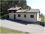 2
2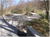 3
3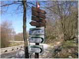 4
4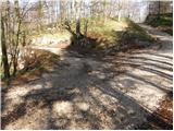 5
5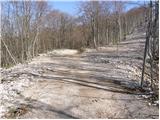 6
6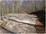 7
7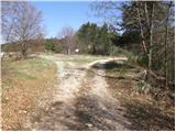 8
8 9
9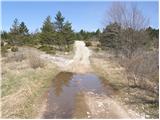 10
10 11
11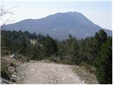 12
12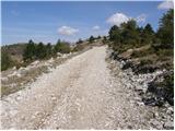 13
13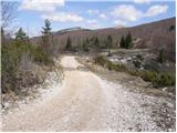 14
14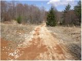 15
15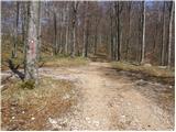 16
16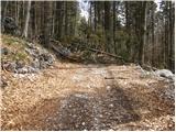 17
17 18
18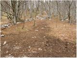 19
19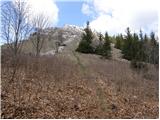 20
20 21
21 22
22 23
23
Discussion about the trail Poklon - Veliki Planik
|
| robson16. 07. 2023 22:00:53 |
Sedaj obstaja tudi z vidika vzponov nekoliko zahtevnejša, a vsekakor lepša alternativna pot, ki se odcepi s ceste približno na sredini opisane poti. Nova planinska pešpot z lepimi razgledi je speljana po grebenu in obišče tri vrhove - Ošalj vrh (1176 m), Mali Planik (1259 m) in Veliki Planik (1272 m). Tako je zdaj možno opraviti krožno pot s povratkom po opisani poti po cesti (ali obratno), s čemer se v eno smer izognemo dodatnim vzponom (a se hkrati s tem odpovemo razgledom).
|
|
|