Poldov rovt (Vrata) - Dovški križ (via bivouac)
Starting point: Poldov rovt (Vrata) (941 m)
| Lat/Lon: | 46,4216°N 13,86289°E |
| |
Name of path: via bivouac
Time of walking: 5 h 30 min
Difficulty: very difficult unmarked way
Altitude difference: 1601 m
Altitude difference po putu: 1601 m
Map: Triglav 1 : 25.000
Recommended equipment (summer): helmet
Recommended equipment (winter): helmet, ice axe, crampons
Views: 38.801
 | 4 people like this post |
Access to the starting point:
Take the Mojstrana, then follow the signs for the Vrata valley. Continue through the Vrata valley, and about 100 metres before the 10 km road marker, you will see cart track branching off to the right perpendicular to the main road. This is the start of the route described. The marked parking area where parking is allowed is about 500 metres further along the main road.
Path description:
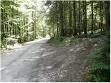
Take the cart track sign, which leads into the wods and then past a small house, where you continue slightly to the left on a footpath. Go through the forest and climb slightly to the left towards the Red Brok. Just before the brok, a path branches off to the right across the Juniper (marked cairn, with a face and the letter L carved on a tree). The path then leads to a stream bed. Here the path goes up the right-hand side (left bank) and then soon crosses the stream to the left-hand side. The path climbs up the valley until it is blocked by a small wall, where you usually also come across a small well. The path goes right from here and climbs steeply after a natural crossing. Slightly exposed and not protected. We are above a small waterfall (if there is water). Here we come out of the forest and climb over some scree. The path over the scree is not comfortable as storms and landslides destroy the path every year. The path soon turns slightly to the right and briefly climbs up a grassy slope. Then it climbs again along the scree and soon reaches the bivouac at Jezeri, which you will see on your left. We can spend the night here or just take a bucket in case of a storm. This is where the world flattens out. The view of Triglav from here is very nice.
The path from the bivouac onwards is slowly disappearing but we can still follow it. Continue slightly to the right towards the saddle between Dovškim Križ and Šplevto. At the saddle, turn left onto a scree slope from which, after a short climb, turn right and cross a steep rocky slope. When you reach the grassy slopes, turn left uphill. On this part of the path you will notice several less well-trodden paths, all of which are marked with cairns. In dry weather it is best to take the rightmost one, which climbs up a grassy slope. At the end, the path turns left towards the ravine. Climb up a short, not to steep gully, then turn sharp right at the end of the gully. If you had continued straight on at the end of the ravine you would have reached only the head of Dovški Križ. When you turn sharp right, the track leads you to the steep eastern slopes of the peak. Cross the slopes to the north and the most challenging part follows. The steep slope descends into a narrow notch. The descent is very short, but caution is needed as there is usually a lot of sand on the rocks. From the notch, climb up the other side, and then cairn directs you to the left onto the ridge. The better-maintained path goes straight ahead here, but if you want to avoid the rubble in the last part of the path, it is better to climb up to the ridge from here. The ridge is then no longer difficult to walk along and soon you reach a very scenic summit.
The ascent of Dovški Križ is suitable for mountaineers who have no problems with climbing grade 1.
Despite the fact that there is a path leading to the top (often poorly visible), orientation is still difficult.

Pictures:
 1
1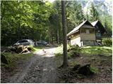 2
2 3
3 4
4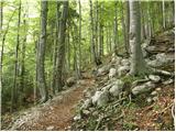 5
5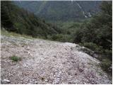 6
6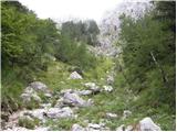 7
7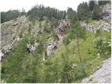 8
8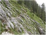 9
9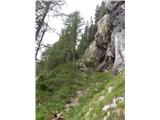 10
10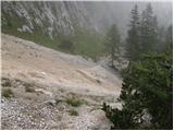 11
11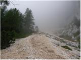 12
12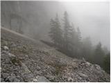 13
13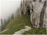 14
14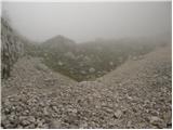 15
15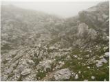 16
16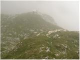 17
17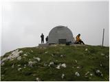 18
18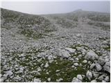 19
19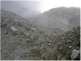 20
20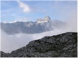 21
21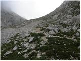 22
22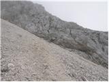 23
23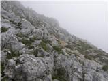 24
24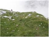 25
25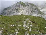 26
26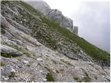 27
27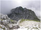 28
28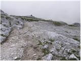 29
29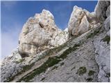 30
30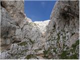 31
31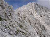 32
32 33
33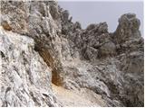 34
34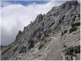 35
35 36
36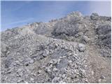 37
37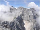 38
38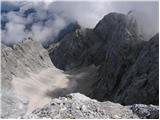 39
39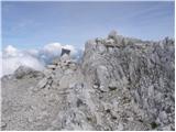 40
40
Discussion about the trail Poldov rovt (Vrata) - Dovški križ (via bivouac)
|
| ljubitelj gora23. 04. 2012 |
Kdaj približno je kopna tale pot? Bi šel kdo ?
|
|
|
|
| turbo24. 04. 2012 |
Pot je kopna točno od takrat, ko skopnijo zadnje krpe snega. Bi šel, bi šel. Marsikdo bi šel.
|
|
|
|
| ljubitelj gora4. 10. 2013 |
Slika 11: Tu sem hodil lani in včeraj, ta vidna stezica preko melišča, le kje se konča (lani smo šli pa se obrnil),kasneje sem ugotovil, da naj bi bil spust po grapi težji, vsaj tist iztek je bil viden težji. Namreč še se je potrebno spustit ob melišču oz. med na desni strani (vidna potka)rušja. Nižje nad slapom (previdno, ker je spodaj zračno) se preči melišče in obere vidno stezo po levi in naprej vzdolž. Slika 26 ni potrebe it čez grapo, ker potka gre po travi navzgor in se priključi slika 30. In ne vem zakaj je ta pot opredeljena kot: zelo zahtevna neoznačena steza, ker ni v celoti. Pisci iz googla navajajo brezpotje in spust v škrbino z oceno I stopnje, tist spust je kratek s stopi, oprimkov je dost a kaj ko se vse ruka. In še dobronamerni nasvet ta pot je absolutno primerna za samo dol in nikakor ne gor. Zdaj kakšno je mnenje drugih, ki so to prehodil enkrat ali večkrat bi bilo tud dobro slišat. Je pa od zime do zime odvisno, moč narave. Dodajam še slika 26, če se kdo nahaja nad vami previdno, da vam ne sproži kakšno skalo.
|
|
|
|
| JusAvgustin4. 10. 2013 |
Pot ob Rdečem potoku do bivaka II. na Jezerih je čisto v redu tudi na gor, saj vendar ne hodiš stalno po melišču, ampak po njegovem levem robu-gledano navzgor v smeri Jezer. Pot preči melišče le nekajkrat, ostalo pa poteka po lepi stezi. Dejstvo je da spada vzpon na DK med brezpotne pristope z nekaterimi mesti plezanja I. stopnje. Tista škrbina pred vršnim skrotjem pa zna biti kar sitna-še posebej pozimi zato sem tam pustil pomočno vrvico okoli roglja za morebiten spust po vrvi. Ostalo na DK pa je hoja in poleg Kukove špice spada med najlažje pristope v Martuljku. Seveda po normalki!
|
|
|
|
| pohodnik386. 10. 2013 |
Lepo,samo malo prehitro...1x počasneje pa bo,meni so ljubši videi ker nekako prikažejo več kot same fotografije  Lp! Tone
|
|
|
|
| Macesna9. 10. 2013 |
Se strinjam z Jušem glede poti do bivaka II. Je čisto v redu pot, gre precej v levo (gledano navzgor), in pogled, ki se od tu odpre na bivak in na Rokave, je blazno lep, kar pretresljiv. Po melišču je gre zelo malo, v zgornjem delu pa veliko po prijetnih travah. Sestopi pa se po melišču čisto na desni strani (gledano navzgor) in šele v gozdu se prikljućiš na že znano stezo, po kateri si šel gor.
|
|
|
|
| JusAvgustin9. 10. 2013 |
Rokavska simfonija je enostavno presunljiva 
|
|
|
|
| Macesna9. 10. 2013 |
Upam, da kmalu slišim kak akord ...
|
|
|
|
| JusAvgustin12. 10. 2013 |
to bi pa rad doživu!  sej še na Pelce ne najdeš! 
|
|
|
|
| di17. 10. 2014 |
Zanima me optimalen pristop na samo pobočje za Dovški križ, torej kje prečimo strmo skalnato pobočje: na najnižji točki, nekje na sredini … Prilagam (slabšo) sliko: http://www.hribi.net/profil.asp?id=11979
|
|
|
|
| ljubitelj gora12. 09. 2021 23:49:24 |
So spodaj neke nove stezice da se ni treba preveč matrat po melišču.
|
|
|
|
| Jernej96818. 07. 2024 15:57:53 |
Minuli vikend sem se povzpel na DK po tej poti. Tudi jaz sem ob vzponu pričakoval več težav z melišči, ampak kot piše Juš, pot na nekaj mestih le na kratko preči melišče. Levo od največjega melišča pod Malo Šplevto pa je zelo lepo prehoden travnat teren. Tik pod bivakom sem si privoščil celo malo lahkega plezanja po strmih travah in tako stopil naravnost pred vrata bivaka. Za dol pa čisto druga zgodba. Če skupaj seštejem vsa melišča, po katerih sem se od bivaka do doline spuščal še globoko v gozdu, jih je za 550 višinskih metrov - kar je praktično polovica spusta od bivaka do asfalta.
|
|
|
|
| renko28. 04. 2025 15:10:02 |
|
|
|