Polharski dom Krim - Krim
Starting point: Polharski dom Krim (742 m)
| Lat/Lon: | 45,9122°N 14,4343°E |
| |
Time of walking: 1 h 35 min
Difficulty: easy marked way
Altitude difference: 365 m
Altitude difference po putu: 375 m
Map: Ljubljana - okolica 1:50.000
Recommended equipment (summer):
Recommended equipment (winter):
Views: 37.974
 | 3 people like this post |
Access to the starting point:
a) From the Ljubljana - Koper motorway, take the Brezovica exit, then continue in the direction of Podpeč (Podpeč can also be reached from Črna vas or Ig). In Podpeč, continue in the direction of Borovnica, Krima and Rakitna and continue along the edge of the Ljubljana Marshes for a short distance, then the signs for Rakitna direct you to the left onto a steeply ascending road. The road then leads through Preserje, where it also begins to descend. After a short descent, continue left in the direction of Krima and Rakitna, and we follow the mostly ascending road to a point where a road branches off to the right to the Polharski dom Krim, a few 10 m away (the Polharski dom is located between Hunting cottage Plehanov laz and the road turnoff to Krim). Park in a suitable place close to the lodge (the Polharski dom is located between Hunting cottage Plehanov laz and the road turnoff to Krim). Park in a suitable place close to the lodge.
b) First drive to Cerknica, then continue driving in the direction of Begunje, and when you arrive in Begunje follow the signs for Rakitno. From Rakitna, continue along the main road towards Preserje. At first the road climbs a small pass, then leads to a place where the road to Krimo branches off to the right. Continue straight ahead, and you will soon reach a left turn where another macadam road branches off to the right. About 100 m further on the right you will see a small parking lot with a bench and a table, where you can park or drive a few 10 m further, where you will turn left towards Polharski dom Krim.
Path description:
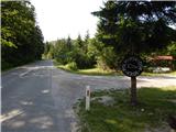
From Polharski dom Krim return to the main road and start climbing. The path soon leads to a small parking area with a bench and a table, and the road quickly climbs to a right turn where a forest road branches off to the left, along which we continue our journey. Some 10 m further on, the forest ends and the path leads us to a larger meadow where we see a beehive on the right. On the other side of the meadow, the road splits into two parts, and we continue on the left road (the right road ends after a few metres at a kind of park). We continue on the road, which climbs through the forest, but it gradually passes from the plateau-like world to the slopes of Srednji hill (836 m), where we really only transiently open up some views. When the road is fully laid, we arrive at a slightly larger crossroads, where we continue straight ahead (the right ascending road leads towards Brancljeva senožeti) along the lower road, which even descends slightly further. A few minutes further on, you reach the place where the road crosses the marked path cart track, which leads from Hunting cottage Plehanov laz towards Krimo.
Leave the road at this point and continue ascending to the right along the marked cart track. Cart track continues to climb moderately for the most part, and during the ascent passes a few places where it crosses one of the many trains. Follow the markings throughout, and then the forest trail will continue to lead you to the road leading to the top of the Krim. Cross the road and continue the ascent along the cart track, which begins to climb crosswise towards the indistinct pass between the Krim on the left and the Malinovec peak on the right. Here the marked path turns left and after a further moderate ascent leads to the fence of the military area, along which we walk to the road. Once on the road, the climb to the summit is only a minute away.

Pictures:
 1
1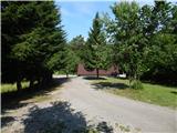 2
2 3
3 4
4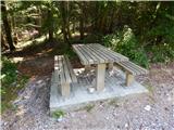 5
5 6
6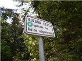 7
7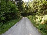 8
8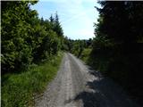 9
9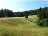 10
10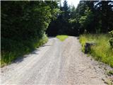 11
11 12
12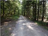 13
13 14
14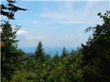 15
15 16
16 17
17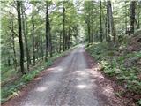 18
18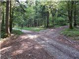 19
19 20
20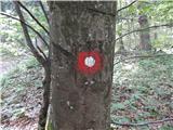 21
21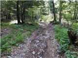 22
22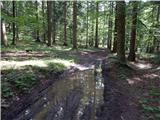 23
23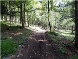 24
24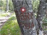 25
25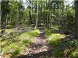 26
26 27
27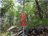 28
28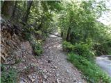 29
29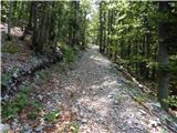 30
30 31
31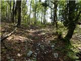 32
32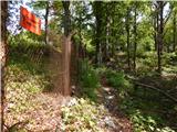 33
33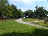 34
34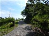 35
35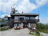 36
36 37
37
Discussion about the trail Polharski dom Krim - Krim
|
| jani bele16. 08. 2018 |
Klop na peti sliki je že razbita. Na začetku makadamske ceste ni nobenih markacij, zato skrbno preberimo zgornji opis.
|
|
|
|
| Mikens23. 06. 2019 |
POMEMBNO!
Vse pohodnike naprošam, naj imajo pse na vrvici! (območje medveda.)
Lep lovski pozdrav.
Klement Mal, LD Tomišelj
|
|
|