Polhov Gradec (Blagajev grad) - Kalvarija (south path)
Starting point: Polhov Gradec (Blagajev grad) (377 m)
| Lat/Lon: | 46,0679°N 14,3137°E |
| |
Name of path: south path
Time of walking: 15 min
Difficulty: easy marked way
Altitude difference: 83 m
Altitude difference po putu: 83 m
Map: Ljubljana - okolica 1:50.000
Recommended equipment (summer):
Recommended equipment (winter):
Views: 6.235
 | 2 people like this post |
Access to the starting point:
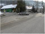
a) From Dobrova, Horjul or Gorenje village, drive to Polhov Gradec, and from the main crossroads continue in the direction of Črný Vrho. After a short climb, you will reach Polhograjska manor house, where the road leads you through the walls, then turn left and park at a suitable place along the road, where there are also mountain direction signs (there is also a small parking area in front of the Polhograjska manor house walls).
b) From Černý Vrch, descend to Polhov Gradec, turn right and park in a suitable place by the road in front of the walls.
Path description:
At the beginning of the chateau, loking from the route of Polhov Gradec, you will see a footpath on the left, along which you will see the information board for Kalvarija after only a few metres. Continue slightly to the left here and continue your ascent along the path, which turns into a forest and then climbs in a few switchbacks. The path soon becomes level and joins the path from the church at a higher level. Here, take a sharp right and then continue the climb along a wide path, along which you will see a number of Stations of the Cross. Follow this path, which soon offers a fine view of Polhov Gradec, all the way to the summit.
Pictures:
 1
1 2
2 3
3 4
4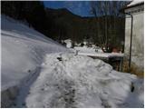 5
5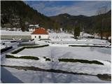 6
6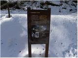 7
7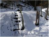 8
8 9
9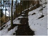 10
10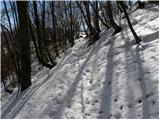 11
11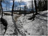 12
12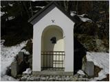 13
13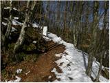 14
14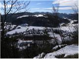 15
15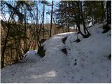 16
16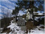 17
17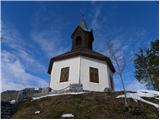 18
18
Discussion about the trail Polhov Gradec (Blagajev grad) - Kalvarija (south path)