Polhov Gradec - Planinski dom na Ravneku
Starting point: Polhov Gradec (365 m)
| Lat/Lon: | 46,065°N 14,3167°E |
| |
Time of walking: 25 min
Difficulty: easy marked way
Altitude difference: 157 m
Altitude difference po putu: 157 m
Map: Ljubljana - okolica 1:50.000
Recommended equipment (summer):
Recommended equipment (winter):
Views: 7.501
 | 1 person likes this post |
Access to the starting point:
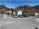
From Dobrova, Horjul, Gorenje vas or Črni Vrho, drive to Polhov Gradec, more precisely to the crossroads by the main bus station in Polhov Gradec. Park in a suitable place near the station, preferably in the parking lot by the bridge over the river Božná.
Path description:
From the starting point, continue along the main road in the direction of Ljubljana for a short time, and then after the Gostilna pri Pratkarju, notice the mountain direction signs for Grmada, Belica, Katarina and Tošč, which direct us to the left, to the path that continues along the brick fence. After a short climb, step onto the asphalt road and follow it to the right, but walk along it for only a few steps, as the signs then lead you left, onto what is initially still quite a wide path. The path, from which we have a nice view of Polhov Gradec and St. Lovrenec, then passes into the forest and for some time climbs mostly crosswise. Higher up, we cross the stream of the Frjetův gráven, and then climb a few steps to a meadow where the path leads us along a wooden fence. The path across the meadow quickly leads us to a macadam road, which we follow to the right, and we arrive at the Mountain Home at Ravneko within a minute or two of further walking.
Pictures:
 1
1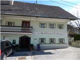 2
2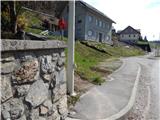 3
3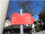 4
4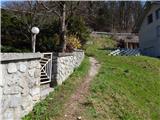 5
5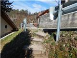 6
6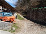 7
7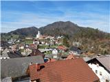 8
8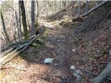 9
9 10
10 11
11 12
12 13
13 14
14 15
15 16
16 17
17 18
18 19
19 20
20 21
21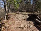 22
22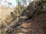 23
23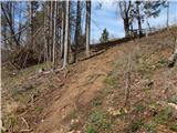 24
24 25
25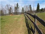 26
26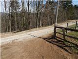 27
27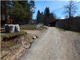 28
28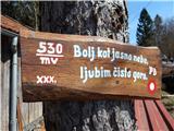 29
29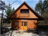 30
30
Discussion about the trail Polhov Gradec - Planinski dom na Ravneku