Poljana (Završnica) - Hochstuhl/Stol (Žirovniška pot)
Starting point: Poljana (Završnica) (640 m)
| Lat/Lon: | 46,4072°N 14,1461°E |
| |
Name of path: Žirovniška pot
Time of walking: 4 h 20 min
Difficulty: easy marked way
Altitude difference: 1596 m
Altitude difference po putu: 1635 m
Map: Karavanke - osrednji del 1:50.000
Recommended equipment (summer):
Recommended equipment (winter): ice axe, crampons
Views: 27.289
 | 2 people like this post |
Access to the starting point:
From the Ljubljana - Jesenice motorway, take the Lesce exit and follow the road towards Žirovnica and Jesenice. After a few km of driving, you will come to a crossroads where the road to Žirovnica and Moste turns right (from Jesenice, left). Just a few metres further, at the next crossroads, turn left into Moste (right into Žirovnica). Continue past the memorial to the fallen fighters, where the road starts to climb uphill under the railway line. At the top of the hill, turn right (at the Vila Karin sign) and we continue towards Završniškem jezero and Valvasor's home. The road then bends and leads to a crossroads where the road to Valvasor's home branches off to the left. Here you continue straight on towards Završnice and then park after 100 m in a nicely laid out asphalt parking lot.
Path description:
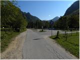
From the parking lot, return along the asphalt road to the crossroads, and from there continue in the direction of Valvasorjev dom pod Stolom and Potoška mountain pasture. From the crossroads, walk along the scenic macadam road for a while, and then the markings and signs for Valvasor's House direct you left onto the marked footpath, which descends gently to the nearby Rečica stream. Cross the footbridge over the stream, then arrive at a larger meadow, over which you ascend gently to the left. On the other side of the meadow, the path enters the forest and turns into the relatively steep cart track, which ascends to an indistinct saddle between the peaks of Sivo ribro and Smolnik.
From here, continue along cart track for a short distance, and then the signs direct you to the right onto a footpath that climbs cross-cutting over a short, broken slope. The well-maintained path then turns left and continues to climb across the occasionally steeper slopes of Smolnik Peak. All the time quite a wide path, leads us higher to the forest road, which we just cross. On the other side of the road, continue to the right and continue the ascent along a less marked path, which also has some unmarked shortcuts higher up. Follow this path, which is slightly more difficult in the upper part due to the numerous paths, all the way to Valvasor's house under Hochstuhl.
From Valvasor's house, turn right on the footpath towards Hochstuhla. The trail soon goes into the forest, where it climbs slightly and leads to a small crossroads, where it continues to the right. The path then leads out of the forest, where it crosses the slopes below Monštranca. Follow this gently sloping and partly scenic path, which crosses a short lane of forest a little further on, to the crossroads at Žirovniška mountain pasture.
Continue left in the direction "Hochstuhl - Žirovniška pot" (slightly right Hochstuhl Zabreška pot) along the path, which only slightly higher passes into a dense forest, where it continues for the next 10 minutes. The forest then thins out and the path passes through scrub, through which it then climbs until it reaches the next lane of the forest. When you re-enter the forest, you will come to a pile of stacked logs and a sign above them "asking" you to carry them, if you can, to Prešeren's hut. A little further on, we leave the forest, and then climb steeply along the edge. Higher up, the path turns slightly to the left and crosses a short, slightly exposed grassy slope. The path then gently lays down for a short time and leads us to a pleasant resting place, from which we have a beautiful view of Gorenjska. The path climbs steeply again, this time on a slope mostly covered with dwarf pines. Higher up, the path turns slightly to the right and leads us from dwarf pines to grassy slopes, where we also reach a less obvious crossroads. Continue slightly to the right (to the left of Potoski Hochstuhl and Weinasch) along a still relatively steep path, which soon passes to the ridge of Malý Stol. Follow this increasingly scenic route, which leads us higher up past the memorial, all the way to Prešeren's hut on Stolo.
From the hut, continue slightly to the right, where you will pass a sign and climb a few steps to the top of Malá Stol. A short descent follows and the path leads us to the saddle between the two Stolos, where there is also a marked crossroads. Continue in the direction of Stol (right Klagenfurter Hutte and Zelenica) along the transverse path, which after 10 minutes of further walking leads us to the highest peak of the Karavanke Mountains.

Pictures:
 1
1 2
2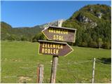 3
3 4
4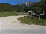 5
5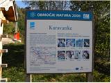 6
6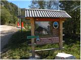 7
7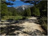 8
8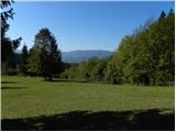 9
9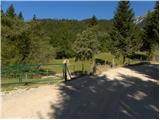 10
10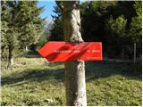 11
11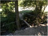 12
12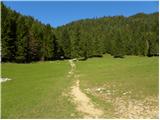 13
13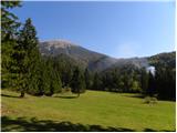 14
14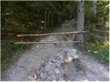 15
15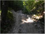 16
16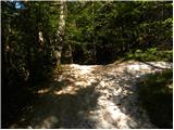 17
17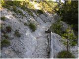 18
18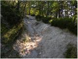 19
19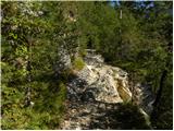 20
20 21
21 22
22 23
23 24
24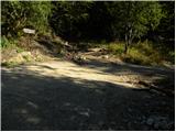 25
25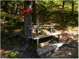 26
26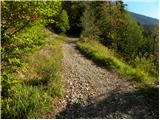 27
27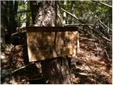 28
28 29
29 30
30 31
31 32
32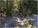 33
33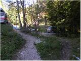 34
34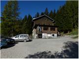 35
35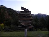 36
36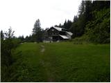 37
37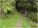 38
38 39
39 40
40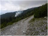 41
41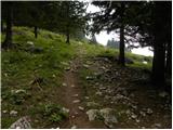 42
42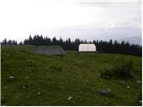 43
43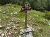 44
44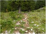 45
45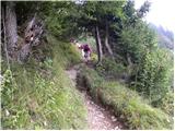 46
46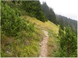 47
47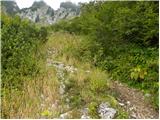 48
48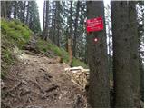 49
49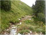 50
50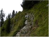 51
51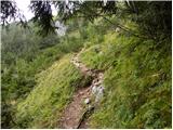 52
52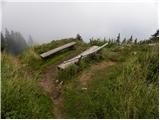 53
53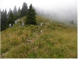 54
54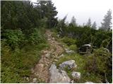 55
55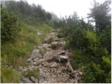 56
56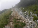 57
57 58
58 59
59 60
60 61
61 62
62 63
63 64
64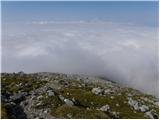 65
65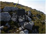 66
66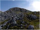 67
67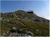 68
68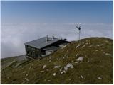 69
69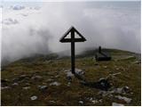 70
70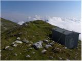 71
71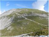 72
72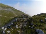 73
73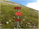 74
74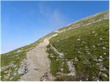 75
75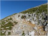 76
76 77
77 78
78
Discussion about the trail Poljana (Završnica) - Hochstuhl/Stol (Žirovniška pot)
|
| Sim7913. 08. 2012 |
Zelo lep opis poti. Danes sem opravil vzpon na Stol po tej poti, spustil sem se pa po Zabreški. Bil sem prvič Stolu in se mi zdi fantastičen  . Vreme je bilo odlično. Fino pa je, da imaš veliko kondicije – v nasprotnem primeru se lahko pot zelo vleče  . Jaz sem rabil sem 3 h 50 min z vsemi postanki vred, pa zaradi utrujenosti nisem imel zelo hitrega tempa.
|
|
|
|
| robi210731. 12. 2016 |
Komentar na sliki 36 je napačen. Seveda ne nadaljujemo v smeri Belščice, če smo namenjeni na Stol, temveč se usmerimo čez travnik, kakor tudi kaže smerokaz. Moderator, smiselno bilo popraviti napačen komentar, da ne bo kdo dobil napačne informacije.
|
|
|
|
| Jusk26. 09. 2019 |
Kar dolga in strma pot,ampak z dobro voljo in dobro kondicijo ni problema  razgled občasno prekinjali oblaki,ampak vseeno je bilo lepo. Na vrhu sem bil sam. Povratek na planino Stamare in naprej v Završnico.
|
|
|
|
| Rozlje22. 08. 2021 12:37:12 |
Ta del opisa je napačen, ker so cesto premaknili: Cesta se nato položi in nas pripelje do križišča, kjer se v levo odcepi cesta proti Valvasorjevemu domu. Tu nadaljujemo naravnost proti Završnici ter nato po 100 m parkiramo Sedaj se makadamska cesta proti Valvasorjevemu domu začne tik ZA parkiriščem, česar niti google maps še ne ve 
|
|
|
|
| Enka9. 07. 2022 19:59:38 |
Res je, sem kar malo lutala danes  . Bi bilo smiselno popraviti opis. Skratka, pot na Stol se začne nasproti izvoza iz asfaltiranega parkirišča, najprej po (na novo asfaltirani) cesti proti Valvasorjevem domu, s katere nas table kmalu povabijo levo na območje bika na paši 
|
|
|
|
| Toni-k10. 07. 2022 12:26:45 |
Do kam je na novo asfaltirano?
Do Valvazorja?
|
|
|
|
| lubadar10. 07. 2022 17:48:49 |
Ne vem če je 500 m novega asfalta, ostala cesta je pa kar precej rebrasta, današnje izkušnje. Rampa za zaporo ceste je že v pripravljenosti.
|
|
|
|
| Enka10. 07. 2022 17:56:13 |
Asfalt je samo na začetku, sem malo štorasto napisala.
|
|
|