Ponte de Ru Curto - Rifugio Croda da Lago
Starting point: Ponte de Ru Curto (1695 m)
| Lat/Lon: | 46,50595°N 12,07937°E |
| |
Time of walking: 1 h 40 min
Difficulty: easy marked way
Altitude difference: 351 m
Altitude difference po putu: 380 m
Map: Tabacco 03 1:25.000
Recommended equipment (summer):
Recommended equipment (winter):
Views: 7.399
 | 3 people like this post |
Access to the starting point:
Access from Gorenjska: Via Border crossing Rateče or Predel to Trbiž / Tarvisio and then along the motorway towards Udine to the Tolmezzo exit. From Tolmezzo, follow the road towards Ampezzo and the Passo della Mauria mountain pass. The road then descends and leads to a crossroads where you turn left (possibly right) towards Cortina d'Ampezzo. At all subsequent junctions, follow the signs for Cortina d'Ampezzo.
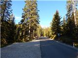
In Cortina d'Ampezzo, follow the signs for the Passo di Falzarego Alpine pass. Follow this ascending road to a crossroads at about 1400m. At the crossroads, turn left towards the Passo di Giau and the Marmolade. From this junction, continue driving for another 4km, then park a few hundred metres before the Ponte de Ru Curto bridge in the parking lot on the left-hand side of the road.
From the coastal side. At Portogruaro, leave the motorway towards Venice and turn right on the motorway towards Pordenone. At the next motorway junction near Conegliano, turn right towards Belluno. The motorway ends near Belluno and we continue towards Cortina d'Ampezzo at the next junctions. Continue as described above.
Path description:
From the parking lot, turn left onto the footpath after the signs "Rif. Croda da Lago". The footpath descends gently at first and crosses the Rio Costeana. The path then turns left and crosses the slopes to the east, mostly in a gentle ascent. The path passes through forest, but occasionally there are fine views towards Tofana. The trail then turns slightly to the right, crosses another stream and then begins to climb a little steeper through the forest. The path then leads to a marked crossroads.
The path from the Pezie de Paru bridge joins us on the left, the Val Formin valley path leads off to the right, and we continue straight ahead following the "Rifugio Croda da Lago" signs. From the crossroads, the path continues to climb through the forest and then turns slightly to the left, bringing us to the foot of the eastern slopes of the Ciadenes peak. From the path, views to the east also begin to open up, with the Cristallo, Sorapiss and Antelao mountain groups standing out. The path then becomes more level and crosses a pasture fence. We continue along the valley called Val Negra, occasionally descending a little. This path then leads to Lago Federa. At the lake, the path from the Rifugio Lago de Aial joins from the left and there is a short, easy walk along the lake to the Rifugio Croda da Lago.

Pictures:
 1
1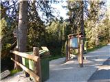 2
2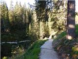 3
3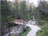 4
4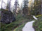 5
5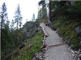 6
6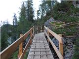 7
7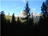 8
8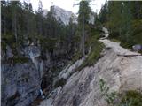 9
9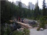 10
10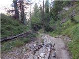 11
11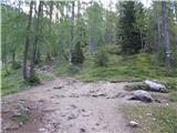 12
12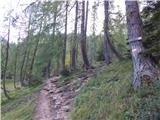 13
13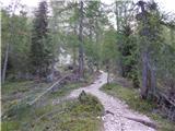 14
14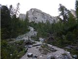 15
15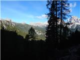 16
16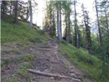 17
17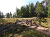 18
18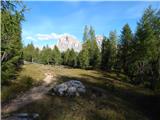 19
19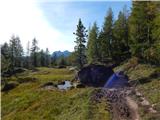 20
20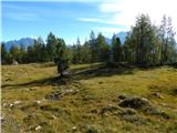 21
21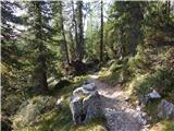 22
22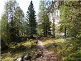 23
23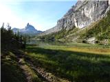 24
24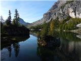 25
25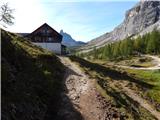 26
26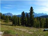 27
27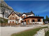 28
28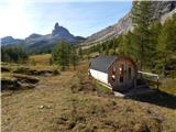 29
29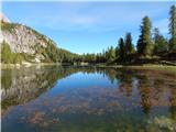 30
30
Discussion about the trail Ponte de Ru Curto - Rifugio Croda da Lago