Potoče - Javorov vrh (direct way)
Starting point: Potoče (520 m)
| Lat/Lon: | 46,3058°N 14,432°E |
| |
Name of path: direct way
Time of walking: 2 h 30 min
Difficulty: easy marked way
Altitude difference: 914 m
Altitude difference po putu: 914 m
Map: Karavanke - osrednji del 1:50.000
Recommended equipment (summer):
Recommended equipment (winter):
Views: 15.294
 | 5 people like this post |
Access to the starting point:
a) From the motorway Ljubljana - Jesenice, take the exit Kranj - East, then continue driving towards Jezersko. When you arrive in Preddvor, leave the main road and continue driving to the left, then after a few 10 m, opposite the Jelovica company, continue to the right in the direction of the villages of Potoče, St. Jakob and Potoška gora and Lake Črnava. The road continues through the village of Hrib, above which we reach a crossroads where we continue straight on (Hotel Bor and Lake Črnava on the left, the Senior Citizens' Home Preddvor on the right). There is a gentle climb of 100 m to a chapel, where the road turns right, and we follow it past a few more houses, then turn left in front of the Senior Citizens' Home into a large gravel parking area.
b) From the motorway Jesenice - Ljubljana, take the exit Kranj - West and continue left at the first junction. Continue through the underpass under the motorway and then to the roundabout, from where you continue in the direction of Golnik. The road continues through the village of Mlaka at Kranj, and at the end of the village we turn right towards Srakovlje. We then drive through Srakovlje, Spodnja Bela, Srednja Bela to Zgornja Bela, where we turn right towards Preddvor. At the end of Preddvor, just 10 m before the road joins the main road Zgornje Jezersko - Kranj, turn left towards the villages of Potoče, St. Jakob and Potoška gora and Lake Črnava. The road continues through the village of Hrib, above which you reach a crossroads where you continue straight on (Hotel Bor and Lake Črnava on the left, Preddvor Senior Citizens' Home on the right). There is a gentle climb of 100 m to the chapel, where the road turns right, and we follow it past a few more houses, then turn left in front of the Senior Citizens' Home onto a larger gravel parking area.
Path description:
At the start of the parking lot, take the footpath that goes up along the fence of the retirement home. The path climbs steeply through the wods and leads to the shade of Josipina Turnograjska in five minutes. There is a registration book and some benches.
The path continues gently downhill and leads to cart track. Follow Cart track, which is well marked, for a further five minutes until you reach the road by the Mimi cafeteria. Here, head straight up in the direction of Novi grad and Jakob. After a few dozen metres, the path leads to a crossroads, where you turn right. The left path goes to Novi grad. Follow the right-hand path through the forest for a few minutes and then cross cart track, which also leads to Jakob. The path continues to climb through the forest and leads to the crossroads again. Turn right onto the less well-marked path. Go straight ahead and you will come to cart track. Our path then crosses cart track again in about five minutes. The path then climbs slightly steeper and, at the cross, comes fully to cart track. Continue on the footpath, which runs just slightly to the left of cart track. We then come to a crossroads again, where we turn right. The left-hand path goes to the hut at František's. Our right-hand path takes us in a few minutes to cart track, where we turn left. Follow this cart track for about five minutes until you reach the hut Iskra na Jakobu.
Between the hut and the church there are signposts directing you along the north side of the church in the direction Potoška gora. After a short descent, the path begins to climb through the forest and after about 15 minutes leads to a crossroads.
Here we turn left (the right path goes to the top of Potoška gora). Our left path then descends for a few metres and then crosses the slopes. Soon the path starts climbing again. After a 45-minute walk from the hut, we arrive at a crossroads where the paths from the Čemšenik home and the Potoška gora join. Here we turn left in the direction of Javorov and Srednji vrh. After a few minutes, the path through the forest leads to the next crossroads. Here, take the right-hand path (straight Srednji vrh), which leads to Javorov vrh. The path starts climbing again and continues through the forest. Orientation is not particularly difficult here as the path mostly follows the ridge and only leaves it in places. After 15 minutes, the path leads us back to the crossroads. Here we turn right and the path continues to mostly follow the ridge. After a further 15 minutes you reach the entry book. From here we have only a 10m walk to the top, which is not covered with forest. Starting point - Jacob 1:15, Jacob - Javorov vrh 1:15.

Pictures:
 1
1 2
2 3
3 4
4 5
5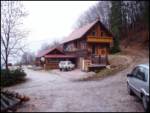 6
6 7
7 8
8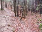 9
9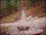 10
10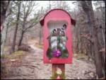 11
11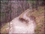 12
12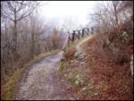 13
13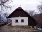 14
14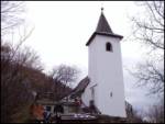 15
15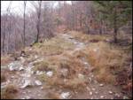 16
16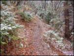 17
17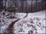 18
18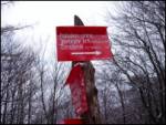 19
19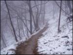 20
20 21
21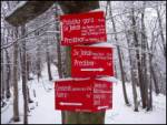 22
22 23
23 24
24 25
25 26
26 27
27
Discussion about the trail Potoče - Javorov vrh (direct way)
|
| kolesar26. 02. 2008 |
Včeraj sva jo s hčero mahnila na Javorov Vrh. Snega praktično ni več le manjše krpice. Presenetil pa naju je razgled še posebej proti Grintovcu in Kočni.
|
|
|
|
| Stolar28. 03. 2008 |
Še pred zadnjim sneženjem sem šel po te poti na Javorov vrh. Pot je primerna za začetek sezone, a nekaj malega kondicije je vseeno potrebno. Z vrha pa lep razgled na Kočno. 
|
|
|
|
| JMiha6. 07. 2014 |
Danes za nabiranje kondicije naredil čudovit izlet na ta vrh. Presenetila me je predvsem prijetna pot od Jakoba do vrha in razgled na Hudičev boršt na levi in Kočno in Grintavec na desni, ki ju zagledaš z vrha
|
|
|
|
| JMiha2. 01. 2015 |
Danes še enkrat, res lepo in mirno. Nekaj malega snega celo pot, ki se je popoldne dobro ojužil- Še nekaj slik s telefona...
|
|
|