Potoška vas - Sveta planina (Partizanski vrh)
Starting point: Potoška vas (550 m)
| Lat/Lon: | 46,167°N 15,0125°E |
| |
Time of walking: 1 h 30 min
Difficulty: easy marked way
Altitude difference: 461 m
Altitude difference po putu: 461 m
Map:
Recommended equipment (summer):
Recommended equipment (winter):
Views: 8.493
 | 1 person likes this post |
Access to the starting point:
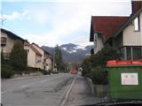
Exit the Ljubljana-Celje motorway at the Zagorje exit and drive to the roundabout in the centre of the town, where you get off for Prapreče. Take the main road and turn in the direction of Čemšenika. Pass Europark and after Europark turn for the direction Potoška vas. Follow the serpentine road to the junction of the road coming from the direction of Trbovlje or Klek and park at this junction.
Path description:
From the roadside parking lot in front of the bin area, turn right into the wods. There are signs and wooden steps to help you. Follow the signs through the forest until you come out of the forest to the farm. Go past the farm up a steep hill and follow the dirt road above the cottages into the wods. Follow the forest track to a sign on a tree for Mountain pasture (porly marked). From here on there are no more markings, so follow the beaten forest path upwards, as if walking along a "trough". After approx. 20 minutes, join the marked path coming from the route of Trbovlje. Follow the markings and re-emerge from the forest higher up, where you can see the church Sveta Marija and the inn mountain pasture a little further ahead. From the inn or church, it is only a short climb to the top of Sveta planina.
Pictures:
 1
1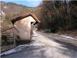 2
2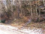 3
3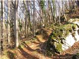 4
4 5
5 6
6 7
7 8
8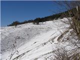 9
9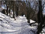 10
10 11
11 12
12 13
13 14
14
Discussion about the trail Potoška vas - Sveta planina (Partizanski vrh)