Povir - Stari tabor (harder path)
Starting point: Povir (410 m)
| Lat/Lon: | 45,6966°N 13,934°E |
| |
Name of path: harder path
Time of walking: 1 h 15 min
Difficulty: easy marked way
Altitude difference: 193 m
Altitude difference po putu: 210 m
Map: Slovenska Istra - Čičarija, Brkini in Kras 1:50.000
Recommended equipment (summer):
Recommended equipment (winter):
Views: 5.161
 | 2 people like this post |
Access to the starting point:
a) From the Ljubljana - Koper motorway, take the Divača exit and then continue towards Divaca. From Divača, continue in the direction of Sežana, and after a few kilometres of further driving, you will arrive at Povir, where you will leave the main road and drive left towards the centre of the town. Continue through the centre of the village, then turn left after the railway overpass. Continue past a few more houses and then the asphalt ends. Park a few 100 m further on from the end of the village, in a suitable place on the roadside.
b) First drive to Sežana, then continue along the old road towards Divača. When you reach Povir, leave the main road and drive to the right towards the centre of the village. Continue through the centre of the village, then turn left after the railway overpass. Continue past a few more houses and then the asphalt ends. Park a few 100 m further on from the end of the village, in a suitable place on the roadside.
Path description:
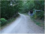
From the starting point, continue along the macadam road, which climbs gently through the forest. The forest soon turns into scrub, and the road, which slowly turns to the right, leads to a marked crossroads, where you continue along the right-hand road in the direction of Stari tabor (Lokev and Strmec on the left). From the crossroads onwards we continue along a rather folded road, which soon leads us to the next crossroads. This time continue left in the direction of the more difficult path to Stari tabor (straight on easier path) and continue for a short time on the deteriorating road. After a few minutes of further walking, the markings direct us to the right on a slightly overgrown and initially harder to follow path. There are a few successive forks, where we follow the markings carefully, and then the path leads us to cart track, which we follow to the left. Continue briefly on the wider cart track, then continue right on the signed footpath, which soon joins the other, less well marked cart track. A little further on, leave the latter cart track and continue on a steeper path which climbs through low forest. The well-marked trail leads us higher up to the summit of Stari tabor, where it splits into two parts.
The right-hand path climbs up a short rocky area with the help of a couple of ropes (easy), while the left-hand path leaves the short steep part and joins the path from the village of Lokev just a few metres below the summit.

We can extend the trip to the following destinations: Stari tabor
Pictures:
 1
1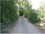 2
2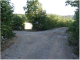 3
3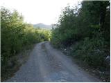 4
4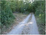 5
5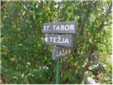 6
6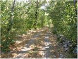 7
7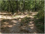 8
8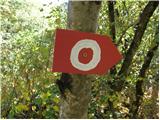 9
9 10
10 11
11 12
12 13
13 14
14 15
15 16
16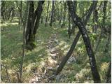 17
17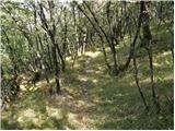 18
18 19
19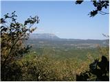 20
20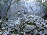 21
21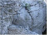 22
22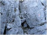 23
23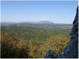 24
24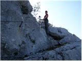 25
25 26
26 27
27 28
28
Discussion about the trail Povir - Stari tabor (harder path)
|
| Lisica27. 04. 2020 |
Tale pot je pa tako tezko sledljiva in zarascena da sem sla danes nazaj in po lazji gor. Do mrhovisca sem komaj nasla, sla se malo naprej, da sem ugotovila da se oznakam lahko komaj sledi. Razen ce gre pot se kje drugje...tele ne priporocam. Lazja pot je super na frisno oznacena tale pa bolj slabo in stare oznake. Vpisna knjiga na vrhu bi bila potrebna menjave. Iz vrha so lepi razgledi na Nanos in Vremscico. 
|
|
|
|
| adry1. 02. 2021 |
Strma pot na Stari tabor ima nove, osvežene oznake, tako da ne bo več težko sledljiva.
Oznake so bile res stare, potrebne obnove.
Ker pot ne vodi po kolovozih in utrjenih poteh, ampak je veliko bližnjic ter stez po gozdnatem terenu, je
potrebno pazljivo slediti oznakam do vrha.
Danes prelep razgled in kljub delovnemu dnevu, kar precej obiskovalcev.
|
|
|
|
| darinka44. 02. 2021 |
O lepo. Nedolgo nazaj sem se spomnim iskala pot. Res je bila slabše sledljiva.
|
|
|