Starting point: Povlje (710 m)
| Lat/Lon: | 46,3296°N 14,3768°E |
| |
Time of walking: 1 h 45 min
Difficulty: easy marked way
Altitude difference: 615 m
Altitude difference po putu: 620 m
Map: Karavanke - osrednji del 1:50.000
Recommended equipment (summer): helmet
Recommended equipment (winter): helmet, ice axe, crampons
Views: 9.680
 | 2 people like this post |
Access to the starting point:
a) From the motorway Ljubljana - Jesenice take the exit Brnik, and when you reach the road Mengeš - Kranj, turn left towards Kranj. Follow the main road towards Kranj to the first roundabout, from where you take the first exit to the right towards Šenčur. Continue on the main road through Šenčur, and when you reach the road Kranj - Zgornje Jezersko, turn right towards Jezersko. When you reach Preddvor, leave the main road and turn left towards the centre of the town, and from there follow the signs for Bašelj. A little after Bašelj, the road descends to the Milka stream and crosses it via a bridge. Here, the road first branches off to the right into the village of Babni, Vrt, and then, a good 100 m further on, into the village of Povlje. Continue on the ascending road towards Povlje, and park in a small parking lot above the village. At the starting point there is a small crossroads, several mountain direction signs and a larger information sign for the Trstenik walking and learning trail "the path under Storžič".
b) From the motorway Jesenice - Ljubljana take the exit Kranj West, then continue towards Golnik. When you arrive at Tenetiše, leave the main road towards Golnik and turn right towards Trstenika. Approximately 1km after Trstenik you will reach a small crossroads where you turn left towards Povlje. Continue on the ascending road towards Povlje, and park in a small parking lot above the village. At the starting point there is a small crossroads, several mountain direction signs and a larger information sign for the Trstenik walking and learning trail "the trail under Storžič".
Path description:
From the parking lot, take the road to the left in the direction of Velika and Mala Poljana (the path between the two roads leads to mountain pasture Javornik, also Dolenec's path to Velika Poljano). The road soon turns left, where it leads you past the waterworks and the quarry. A little further on, the road turns into cart track, and it climbs steeply through the passage. Shortly after cart track lays down and turns right into the forest, a marked footpath branches off from it a little further to the right, along which the ascent continues. Continue ascending for a short distance alongside the stream, then the path turns left and climbs cross-cutting, crossing a slightly undercut ravine in the last part. At the top of the ravine, we come to a kind of ridge between two streams, where the path from the villages of Goriče and Zalog joins us on the left. There is a short climb along a ridge with a view, and then we arrive at a marked crossroads, from where we continue along the lower left path in the direction of Mala Poljana (to the right Velika Poljana).
Continue along the path which, after a few more steps, leads into a wooded valley. The path, which is less and less visible, continues to climb up the valley, which becomes narrower and narrower and gradually turns into a ravine. The ascent continues along a barely visible path which climbs between two steep slopes. The path, which is mainly covered with foliage and is exposed to falling stones in some parts, leads us higher up to the initially quite rugged cart track, which leads out of the forest in a few minutes to the lower part of Mala Poljana. Cart track, after which we continue our ascent, leads us after a few minutes of further walking to a hunting hut on Mala Poljana.

Pictures:
 1
1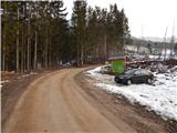 2
2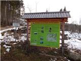 3
3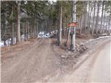 4
4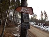 5
5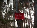 6
6 7
7 8
8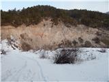 9
9 10
10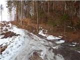 11
11 12
12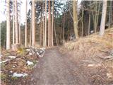 13
13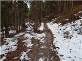 14
14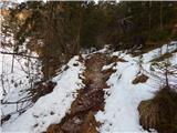 15
15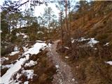 16
16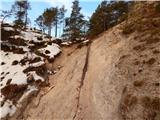 17
17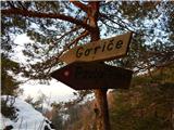 18
18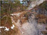 19
19 20
20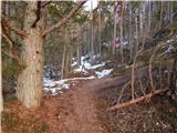 21
21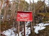 22
22 23
23 24
24 25
25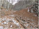 26
26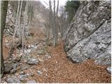 27
27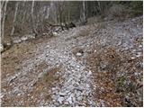 28
28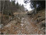 29
29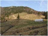 30
30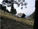 31
31
Discussion about the trail Povlje - Mala Poljana
|
| ločanka9. 04. 2024 14:26:51 |
Po tej poti sva se včeraj vračala. Malo nižje, ko se pot zasuka v desno proti grabnu, se v levo odcepi ozka, prav hitro zelo, zelo strma potka v levo. Na zemljevidu sem jo našla pod imenom Hunters Trail to M.Poljana. Pozna kdo to pot? Po videzu je delovala kot lovska.
|
|
|
|
| Daaam9. 04. 2024 14:32:32 |
Je lovska pot. Prideš na pot na Veliko Poljano. (na pot mimo kamnoloma in po grebenu gor) preči sicer še dlje po pobočju v smeri planine Javornik, sam je naprej težje sledljiva/prehodna.
|
|
|
|
| ločanka10. 04. 2024 09:17:35 |
Hvala Daam. Zelo, zelo strma je bila, vsaj v začetku je bilo tako. Je nisva poznala, zato sva se vrnila in jo ubrala po markirani 
|
|
|
|
| Daaam10. 04. 2024 09:32:44 |
Malenkost. V vajini smeri je malo bolj strma samo na začetku potem pa postane bolj prijazna. Glede na to kar sta že prehodila vama ne bi smela delat težav. Toliko v vednost za drugič.
|
|
|
|
| ločanka10. 04. 2024 09:44:28 |
Hvala, saj to me je najbolj zanimalo, a se strmina veča, a se kaj ublaži. Sedaj vem  
|
|
|