Povlje - Velika Poljana (via Javornik)
Starting point: Povlje (710 m)
| Lat/Lon: | 46,3296°N 14,3768°E |
| |
Name of path: via Javornik
Time of walking: 2 h 30 min
Difficulty: easy marked way
Altitude difference: 700 m
Altitude difference po putu: 750 m
Map: Karavanke - osrednji del 1:50.000
Recommended equipment (summer):
Recommended equipment (winter): ice axe, crampons
Views: 10.937
 | 1 person likes this post |
Access to the starting point:
a) From the motorway Ljubljana - Jesenice take the exit Brnik, and when you reach the road Mengeš - Kranj, turn left towards Kranj. Follow the main road towards Kranj to the first roundabout, from where you take the first exit to the right towards Šenčur. Continue on the main road through Šenčur, and when you reach the road Kranj - Zgornje Jezersko, turn right towards Jezersko. When you reach Preddvor, leave the main road and turn left towards the centre of the town, and from there follow the signs for Bašelj. A little beyond Bašelj, the road descends to the Milka stream and crosses it via a bridge. Here, the road first branches off to the right into the village of Babni, Vrt, and then, a good 100 m further on, into the village of Povlje. Continue on the ascending road towards Povlje, and park in a small parking lot above the village. At the starting point there is a small crossroads, several mountain direction signs and a larger information sign for the Trstenik walking and learning trail "the path under Storžič".
b) From the motorway Jesenice - Ljubljana take the exit Kranj West, then continue towards Golnik. When you arrive at Tenetiše, leave the main road towards Golnik and turn right towards Trstenika. Approximately 1km after Trstenik you will reach a small crossroads where you turn left towards Povlje. Continue on the ascending road towards Povlje, and park in a small parking lot above the village. At the starting point there is a small crossroads, several mountain direction signs and a larger information sign for the Trstenik walking and learning trail "the trail under Storžič".
Path description:
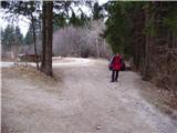
From the parking lot, follow the footpath between the two roads. The path begins a moderate to steep climb through the forest on the south-western slopes of Storžič. After 45 minutes of walking, the path leads to a crossroads at a 'refreshment rom'. Here we turn right (left Poljana) onto the upper path, which continues to climb relatively steeply. The path soon crosses cart track and slowly starts to turn slightly to the right. After an hour and a half of walking, we emerge from the forest and the path leads us into the mighty south-western ravine of Storžič. Follow the ravine for only a few metres. At the stream, turn left uphill and in a few minutes you will reach Krničarjeva hut.
At the hut, turn left towards Poljana. Follow the path as it crosses the slopes to the west with slight ups and downs to Velika Poljane. This part of the path is slightly exposed in parts and is a slip hazard in wet conditions.
Povlje - mountain pasture Javornik 2:00, mountain pasture Javornik - Velika Poljana 30 minutes.

Pictures:
 1
1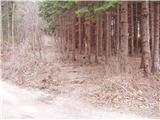 2
2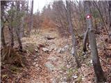 3
3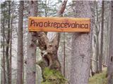 4
4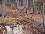 5
5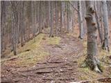 6
6 7
7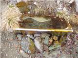 8
8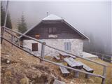 9
9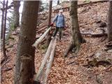 10
10 11
11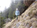 12
12 13
13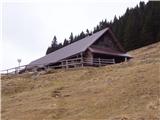 14
14
Discussion about the trail Povlje - Velika Poljana (via Javornik)
|
| Guest9. 04. 2007 |
če se je kdo naveličal cepina in derez ter si zaželel manj naporne ture toplo proporočam.Ne strinjam pase popolnoma o opisu poti ,ki pravi da se pot od okrepčevalnice naprej rahlo vspenja.Pot do planine Javornik je kar precej strma in kdo prebere ta opis bi si mislil da gre na nedeljiski izlet.
Drugače vse tako kot je napisano
|
|
|