Povodje - Rašica (Vrh Staneta Kosca)
Starting point: Povodje (316 m)
| Lat/Lon: | 46,1382°N 14,4791°E |
| |
Time of walking: 1 h 30 min
Difficulty: easy marked way
Altitude difference: 325 m
Altitude difference po putu: 375 m
Map: Ljubljana - okolica 1:50.000
Recommended equipment (summer):
Recommended equipment (winter):
Views: 17.578
 | 1 person likes this post |
Access to the starting point:
From the Ljubljana - Jesenice motorway, take the Ljubljana - Šmartno exit, and follow the road to the settlement, where you turn right onto the road leading to Vodice. Continue towards Vodice, and at the first junction after the motorway overpass turn right, where after 100 m you will reach the Povodje fish farm. There are no parking spaces at the starting point, but you can find a suitable place somewhere nearby.
Path description:
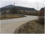
At the fish farm, you will see signs for Vrh Staneta Kosca (Staneta Kosca Peak), which will direct you to the left to the asphalt road, which will take you to the local houses. Cross the stream over the bridge and then continue along the road, which is closed to public traffic by a road sign. Continue along the road for about 100 m, then signs direct you to the right to cart track, which starts to climb gently. As you enter the wods, the markings cart track direct you right onto a footpath that climbs through the wods. A little higher up, the path turns left and starts to climb steeply. As the path has a few small forks, follow the markings carefully so as not to stray from the right path. Higher up, the path leads us under the steep slopes of Mali vrh, which we bypass on the right hand side. After a few minutes of further walking, the path is laid and leads to a dirt road.
Once on the road, follow it in the direction of Staneta Kosca Peak, and we walk along it for some time, with a few short ascents and descents. A little higher we come to a crossroads of equal roads, and we continue to the right along a marked road, which we quickly follow to the next crossroads, where the path from the village of Rašica joins us from the right.
Here we continue straight ahead on the marked footpath (or left along the road), which continues on a moderate to occasionally steep ascent through the forest. The path returns to the road at a higher altitude and leads to a mountain lodge in a few 10 steps.
From the home, continue along the gently sloping path towards the lookout tower, which is reached after a further minute's walk. For a nice view, it is worth climbing the 17 m high lookout tower.

Pictures:
 1
1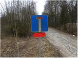 2
2 3
3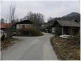 4
4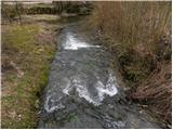 5
5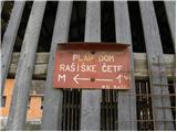 6
6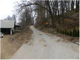 7
7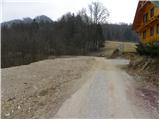 8
8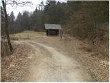 9
9 10
10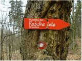 11
11 12
12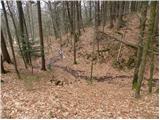 13
13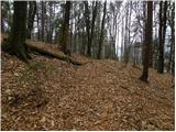 14
14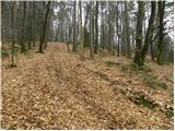 15
15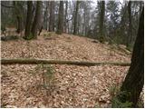 16
16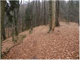 17
17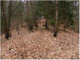 18
18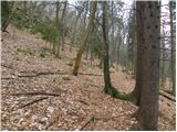 19
19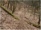 20
20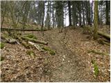 21
21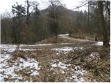 22
22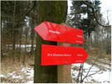 23
23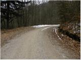 24
24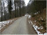 25
25 26
26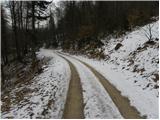 27
27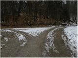 28
28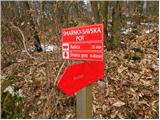 29
29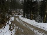 30
30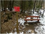 31
31 32
32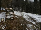 33
33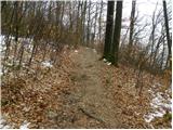 34
34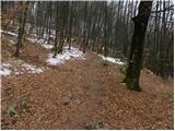 35
35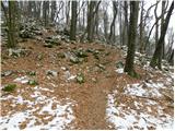 36
36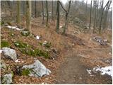 37
37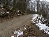 38
38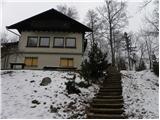 39
39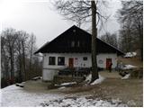 40
40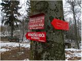 41
41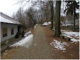 42
42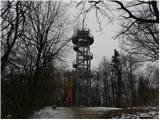 43
43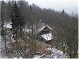 44
44
Discussion about the trail Povodje - Rašica (Vrh Staneta Kosca)