Praprotno - Archangel Gabriel (Planica)
Starting point: Praprotno (390 m)
| Lat/Lon: | 46,1958°N 14,2655°E |
| |
Time of walking: 1 h 20 min
Difficulty: easy marked way
Altitude difference: 434 m
Altitude difference po putu: 465 m
Map: Škofjeloško in Cerkljansko hribovje 1:50.000
Recommended equipment (summer):
Recommended equipment (winter):
Views: 5.424
 | 1 person likes this post |
Access to the starting point:
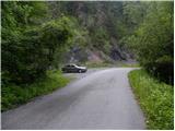
First we drive to Škofja Loka, then continue driving towards Železniki. Shortly before Praprotno, just before the main road crosses the Selška Sora River, turn right onto a local road, and park alongside it after 50 m.
The starting point can also be reached from Železniki by turning left after Praprotno onto the local road and then parking.
Path description:
From the parking lot, we continue on the tarmac road, walking along it for only a few 10 m, and then, when the cliffs on the right end, we turn right onto the grassy cart track. Follow the cart track and climb along the edge of the meadow, keeping a sharp lookout to the right, as you will soon see a path on the right hand side, which leaves the cart track and heads steeply uphill (the turn-off is not particularly marked and can be quickly missed).
The ascent continues through a dense forest, through which you climb steeply. At a higher level, cross cart track and the path climbs steeply for some time. After a few more minutes of climbing, the forest starts to thin out and the path becomes less steep. Cross the meadow to cart track, cross it a few times higher up, and then follow it up to an unmarked crossroads near a dwelling house.
Here continue right (to the left is a minor road leading to the nearby aforementioned dwelling house) and follow the minor road crossing the slopes to the right. Cart track or the road then turns left and leads past a trestle to the village of Križna Gora, where you continue left along an asphalt road (to the right is the Sveti Križ church and the Hunting Lodge).
Continue along the road, which soon becomes a road and leads to the NOB monument, where it also turns into a forest. There is a short descent and the road leads to a small bus parking area, where it loses its asphalt coating.
A little further downhill, the road branches off to the right onto the wide, initially macadam cart track, which continues the ascent. After a short climb, signs direct you left on a wide footpath which crosses the slopes to the left. A little further on, step out of the woods and walk to a small saddle with beautiful views, where you also leave the markings. The waymarked path continues to the right, and we continue straight ahead on a path that begins to climb through the forest. The path soon widens, crosses lane bushes and leads us higher up to an asphalt road, which we follow up to a nearby house. From the house, continue along the wide path, which takes a few steps to reach the Church of St. Gabriel the Archangel on Planica.

Pictures:
 1
1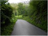 2
2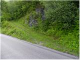 3
3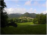 4
4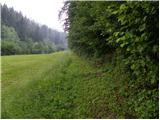 5
5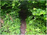 6
6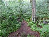 7
7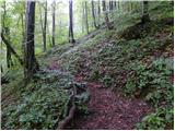 8
8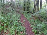 9
9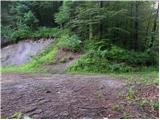 10
10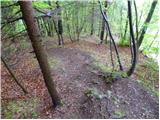 11
11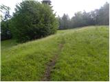 12
12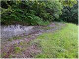 13
13 14
14 15
15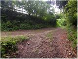 16
16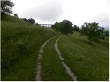 17
17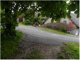 18
18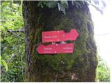 19
19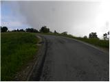 20
20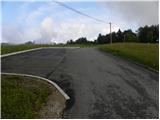 21
21 22
22 23
23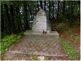 24
24 25
25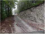 26
26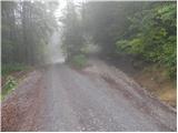 27
27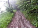 28
28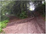 29
29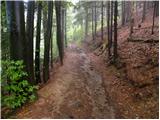 30
30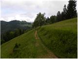 31
31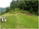 32
32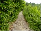 33
33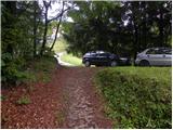 34
34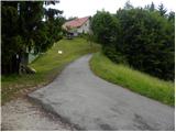 35
35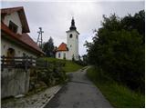 36
36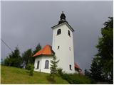 37
37
Discussion about the trail Praprotno - Archangel Gabriel (Planica)