Prebold - Adijev bivak na Reški planini
Starting point: Prebold (281 m)
| Lat/Lon: | 46,23663°N 15,09309°E |
| |
Time of walking: 3 h
Difficulty: partly demanding marked way
Altitude difference: 629 m
Altitude difference po putu: 685 m
Map:
Recommended equipment (summer):
Recommended equipment (winter): ice axe, crampons
Views: 390
 | 2 people like this post |
Access to the starting point:
From the motorway Ljubljana - Celje, take the exit Šentrupert (from Ljubljana) or Šempeter (from Celje) and continue in the direction of Prebold and Trbovlje. In Prebold, near the church, turn right onto Graščinsko Road, at the end of which turn right onto Tovarniška Road. This, in a slight downhill, quickly leads to the next crossroads, where we continue straight on (here we can already see the mountain markings for Reška mountain pasture on a tree). Next, we pass a house with an orange facade, followed by dilapidated buildings. When you reach a place where a marked path branches off up to the left, park in one of the small car parks along the road.
Path description:
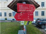
From the parking lot, follow the path towards the house under Reška mountain pasture. The path initially takes you past a large lake, then crosses the road a few times. When the road crossing ends, the well-marked path leads us across a meadow, which opens up a beautiful view of the valley. The path then goes into the woods, where it climbs cart track, which soon leads to a fork in the path, where it continues to the right. There follows a steep ascent along the cart track, which after half an hour's walk leads us to a small hamlet where there are a few farms. Here, between the houses, the path descends and after a few steps downhill leads us to a crossroads where we continue to the right. There is a slight ascent for a few minutes on an asphalted road to a small pass, where you can see the mountain markings. Here, continue straight ahead on the road, which descends gently. After a few minutes of descending, a footpath branches off to the right and quickly turns into cart track. Follow this path, which descends gently at first and then ascends gently, all the way to the house below Reška mountain pasture.
From the house, continue along the marked path which, after a short climb, leads to the Church of St Mary. Here you continue on, on the left side of the church and after a few steps you see a marked footpath that branches off the road (straight ahead, direction lookout point). Continue moderately up the cart track, which ends after 15 minutes. The marked path then climbs steeply. The steep path is a slip hazard in wet and snowy conditions. After a good 25 minutes of steep ascent, the steepness eases and the path leads to a ridge, where you continue to the left. The path leads us along the ridge all the time and after less than 10 minutes, just before the top of Reška planina, we reach Adi's bivouac at Reška mountain pasture.

Pictures:
 1
1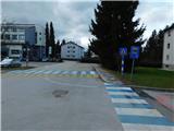 2
2 3
3 4
4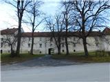 5
5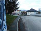 6
6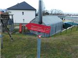 7
7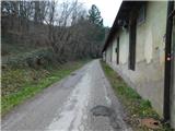 8
8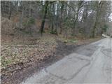 9
9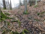 10
10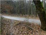 11
11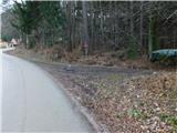 12
12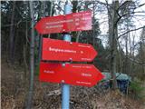 13
13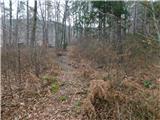 14
14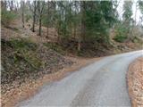 15
15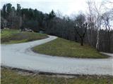 16
16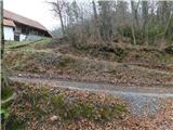 17
17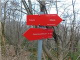 18
18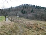 19
19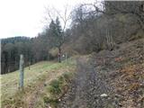 20
20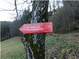 21
21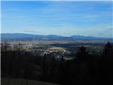 22
22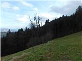 23
23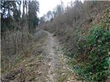 24
24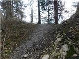 25
25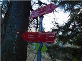 26
26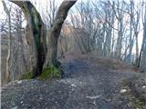 27
27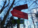 28
28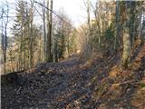 29
29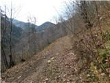 30
30 31
31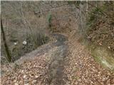 32
32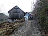 33
33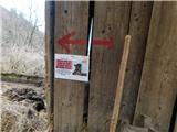 34
34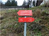 35
35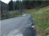 36
36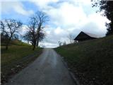 37
37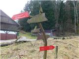 38
38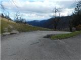 39
39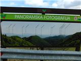 40
40 41
41 42
42 43
43 44
44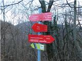 45
45 46
46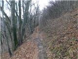 47
47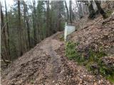 48
48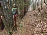 49
49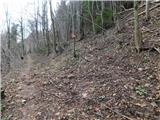 50
50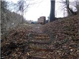 51
51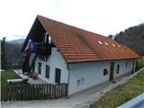 52
52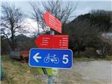 53
53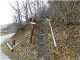 54
54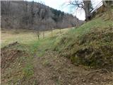 55
55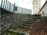 56
56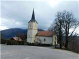 57
57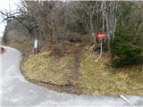 58
58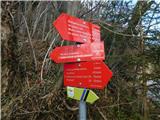 59
59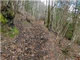 60
60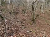 61
61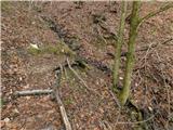 62
62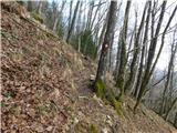 63
63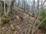 64
64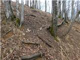 65
65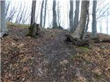 66
66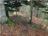 67
67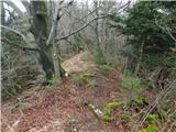 68
68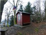 69
69 70
70
Discussion about the trail Prebold - Adijev bivak na Reški planini