Starting point: Pred Belo (571 m)
| Lat/Lon: | 46,3188°N 14,6005°E |
| |
Time of walking: 6 h 45 min
Difficulty: difficult marked way
Altitude difference: 1779 m
Altitude difference po putu: 1900 m
Map: Kamniške in Savinjske Alpe 1:50.000
Recommended equipment (summer): helmet
Recommended equipment (winter): helmet, ice axe, crampons
Views: 18.324
 | 2 people like this post |
Access to the starting point:
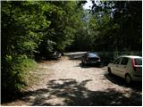
Drive into Kamnik and follow the road towards the Kamnik Bistrica valley. Approximately 2km after the lower station of the pendulum at Velika planina, you will see a parking lot on the right side of the road and mountain signs for Presedljaj, Konja and Korošica (the parking lot is located behind the bridge).
Path description:
From the parking lot, follow the path in the direction of Presedljaj, Korošice, Konja and Ojstrica. After a few metres, the path turns right, where it climbs only slightly at first, then begins to descend and after a few minutes joins the wide cart track. The ascent continues along the folded cart track, which soon crosses a torrent and then climbs gently to moderately towards the valley of the Kamniška Bela.
After a good 30-minute walk from the starting point, we reach a marked crossroads, where we continue to the right along a marked path (to the left the Orglice waterfall and the Korošica River via Šraj peska). Cart track turns into an increasingly steep path shortly after the crossroads, and this path continues to lead us through the dense forest. Higher up, the path turns slightly to the left and crosses a torrential ravine. A little further on, the path over Najnar Štant (a difficult and exposed path leading to Korošica, higher up it joins the path over Šraj pesek) branches off almost imperceptibly to the left, and we continue straight on the marked path, which begins to climb in many switchbacks. Higher up, the path climbs even steeper for a short time and leads to a beautiful viewpoint with a table and a bench.
The path continues gently downhill, crosses a steep slope and leads to a torrential ravine. Here the path turns to the left side of the slope, climbs initially with the help of a few pegs and a higher rope, and then returns to the forest, where it climbs steeply for some time. Higher up, the path makes a transitional lay, then climbs steeply again and within a few minutes of further walking leads to the saddle Presedljaj, where there is a marked crossroads.
Continue left in the direction of Korošice (right Konj) along the path, which begins to climb up the left side of an indistinct ridge. After a few minutes the path turns to the right and lays down. The path continues along a path that is quite overgrown in places and climbs steeply through lane of dwarf pines. A little further on, the path crosses an exposed slope above the Lučka Bela valley, where there is also a memorial plaque to an unfortunate mountaineer. Just a few metres after the memorial plaque, the slope is laid and leads to an unmarked crossroads, where an unmarked path branches off to the left towards Vršiči and Vežice. Continue straight along the marked trail, which continues northwards and, with a few short ascents and descents, quickly leads to a place where you join the more beaten track from the Lučka Bela valley. Here, continue to the left and walk past the Lučke Dedec trail junction to Praga (1910 m).
From Praga, continue straight ahead and follow a wide path which begins to descend crosswise towards the green Korošice plain. After 10 minutes of descending, the path flattens out and you are only a few steps of easy walking away from Kocbek's home.
From Kocbek's home, continue along the marked path in the direction of Ojstrica. A few metres above the cottage, the path goes into lane of dwarf pines, where it gradually starts to climb steeper and steeper. After a good 20 minutes' climb from Kocbek's house, the path becomes flat and then turns to grassy slopes, which are soon replaced by stones. The path then crosses two successive ravines, and then begins to climb steeply up the increasingly scenic slope. The way ahead takes us past two less prominent crossroads (in both cases continue to the right in the direction of Ojstrica, to the left Planjava and Škarje) and gradually begins to turn more and more to the right. Higher up, the path becomes steeper and turns into a rather craggy slope. Further on, the path briefly lays down and leads us through a narrower passage to the main ridge of the Kamniško Savinjske Alps. Once on the ridge, continue to the right along the very steep path, which continues to climb the broken rocks. Follow this very steep path, helped by a few wedges, all the way to the top of Ojstrica, which is reached after about 15 minutes of further walking (there is a high risk of falling rocks in the last part).

Pictures:
 1
1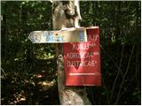 2
2 3
3 4
4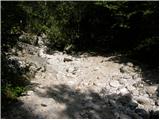 5
5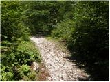 6
6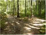 7
7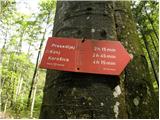 8
8 9
9 10
10 11
11 12
12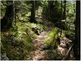 13
13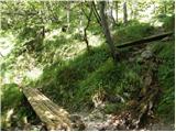 14
14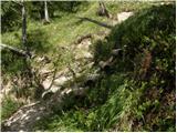 15
15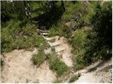 16
16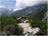 17
17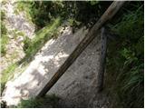 18
18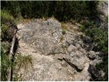 19
19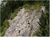 20
20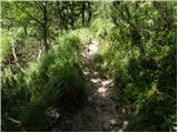 21
21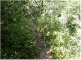 22
22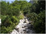 23
23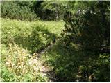 24
24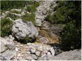 25
25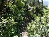 26
26 27
27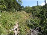 28
28 29
29 30
30 31
31 32
32 33
33 34
34 35
35 36
36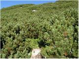 37
37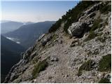 38
38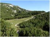 39
39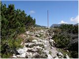 40
40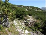 41
41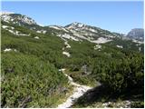 42
42 43
43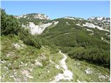 44
44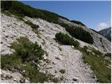 45
45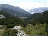 46
46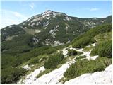 47
47 48
48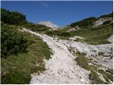 49
49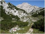 50
50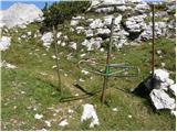 51
51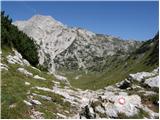 52
52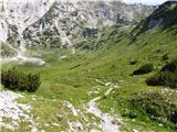 53
53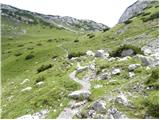 54
54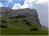 55
55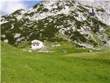 56
56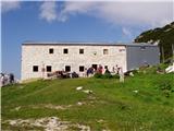 57
57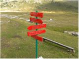 58
58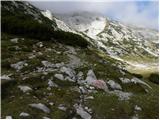 59
59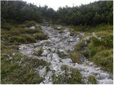 60
60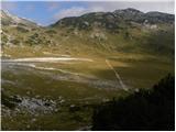 61
61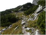 62
62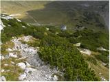 63
63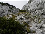 64
64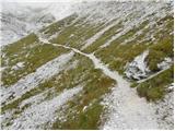 65
65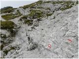 66
66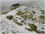 67
67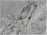 68
68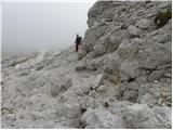 69
69 70
70 71
71 72
72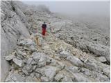 73
73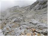 74
74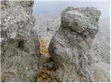 75
75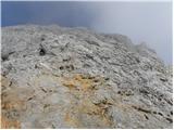 76
76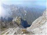 77
77 78
78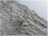 79
79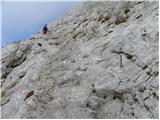 80
80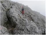 81
81 82
82 83
83 84
84 85
85
Discussion about the trail Pred Belo - Ojstrica
|
| klm22. 07. 2010 |
Dejansko ne vem, koliko časa naj bi vzela ta pot, vendar sem sam potreboval 2:25 h, da sem stal na vrhu Ojstrice, medtem pa sem naredil še nekaj lepih fotografij. Sicer pa je vreme tako kot včeraj fantastično. Dve stvari bi še izpostavil po opravljeni turi: prva je oskrbnica Kocbekovega doma na Korošici. Gre za gospo s karakterjem, hrbtenico, izredno prijetno oplotničanko, ki je oskrbnica omenjenega doma že več let. Brezplačno mi je odstopila izotonike ter vodo, prav tako je bilo zelo prijetno poklepetati z njo. Enako domač občutek dobim ob vsakem srečanju z njo. Druga stvar, ki bi jo izpostavil je vzpon na samo Ojstrico. Ker sem časovno nekoliko tempiran, si poskušam izbrati tudi kakšno bližnjico. Zgoraj opisani vzpon na omenjeni vrh od Kocbekovega doma ponuja v vršnem delu prijetno plezanje I. stopnje, če potegnemo diretissimo, tako da vrh dosežemo v smešno kratkem času. Skala je naravnost odlična!
|
|
|
|
| mukica22. 07. 2010 |
Moraš pa imeti zelo hiter korak ,da narediš to turo v tako kratkem času  ,saj je skoraj iz Kamniške bistrice ali je bilo izhodišče kje drugje 
|
|
|
|
| klm22. 07. 2010 |
Ja iz Bistrice. Sicer sem gorski tekač, ampak zdaj sem na "dopustu", to pomeni, da se po hribih potikam s fotoaparatom in uživam. počasneje pa skoraj ne gre - tekaška deformacija pač. Ko sem v preteklosti to pot pretekel, je bil cajt nekaj sekund pod 2h, ampak sem se potem počutil precej idiotsko-nobenih vtisov, ali spominov na opravljeno turo, le utrujenost.
|
|
|
|
| mala planina17. 10. 2011 |
Pot se res ,da prepoloviti. KRITIKA-borovci med potjo so obupni.(ALI LAHKO KDO TO POSEKA?) 
|
|
|
|
| Loni17. 10. 2011 |
Zanimivo, a to so borovci od avgusta toliko zrasli, meni se sploh niso zdeli problematični, se je dalo iti čisto komot mimo.
|
|
|
|
| urbancek24. 06. 2012 |
Te časovnice niso čisto normalne, se strinjam s klm in malo planino... Dobro telesno pripravljeni planinci pridejo v 6h 45min brez večjih postankov že nazaj v dolino.   Jaz sem danes z normalno konstantno hojo prišel nazaj k avtu po 7h 30min (vmes pol ure za malico, postanek na Korošici in še na L. Dedcu sem bil) Kritika pa še vedno leti na ruševje, ki bi rabilo motorko  Lp!
|
|
|
|
| kicho7. 10. 2012 |
včeraj sem šel po tej poti. Ruševje še kar v istem stanju in ker sem mal višje sorte, sem skoraj moral po vseh štirih  Drugače pa lep izlet z lepim vremenom. lp
|
|
|
|
| 23maja17. 07. 2013 |
ko sem šla gor Belo-Korošiča-Ojstrica 7.7.2013 je bilo ruševje porezano (borovcev ni več oziroma niso več problematični). Časovnica je bolj realna kot nerealna, jaz sem rabila dobrih 5 ur do vrha z dvema postankoma. To da prideš na vrh v 3h urah ni realno za dobro pripavljenega planinca  Ampak vsa čast za tak čas!
|
|
|
|
| janez.novak17. 07. 2013 |
23 maja - ali je ta pot dobro označena, ali jo lahko kje zgrešiš?
|
|
|
|
| ljubitelj gora7. 08. 2014 |
Na Korošici teče voda, če koga zanima, ne vem pa, če je pitna. Pot iz doline do sem je resnično dolga in naporna. Šel pa sem pri Slapu Orglice čez skok in Šraj pesek in do vrha Male Ojstrice/Ojstrice. Vrnil se po zgornji opisani poti s tem da sem prej še bil na sedlcu pod Škarij in še naprej proti Lučki Babi, ampak je začelo grmeti (slišat je bilo grozno, ker si posredno stik z oblaki) in tako hitro/varno sestopil nazaj do Korošice, prečil sem eno snežišče pod drugo nižjo pot, ampak ni problema, ni tolk strmo, sneg pa je tud 2-3 cm spustil. Na Korošici se je vreme izboljšalo a na žalost me je čas pregenjal in šel v smeri Presedljaja in v dolino.
|
|
|
|
| živjo7. 09. 2014 |
Tudi sam sem se pri povratku iz Ojstrice ustavil v koči kjer sem bil deležen odlične postrežbe ter prijetnega klepeta. Super tura ter kapo dol oskrbnici koče na Korošici. 
|
|
|
|
| Daiblo2.0 7. 10. 2019 |
Tura opravljena dne 6. 10. 2019 brez večjih posebnosti, vendar zahteva nekaj opomb:
1.) Komentar št. 1, uporabnika “klm” je irelevanten za vse, razen za gorske tekače.
2.) Tura zahteva zadostno mero telesne pripravljenosti, kar potrjujejo včerajšnji parametri: 4h 50min do vrha, 9h 30min za celotno turo, 2000 višinskih metrov vzpona, cca. 16km dolžine.
3.) V bližini pogorišča Kocbekovega doma na Korošici je tekoča voda (pipa) in nadstrešek, stoječ na treh zaklenjenih kontejnerjih, ki ne služijo kot bivak!
4.) Pot z vrha do Korošice je krušljiva in nevarna za zdrs, zelo priporočljiva je uporaba čelade.
Vso srečo pri nadaljnjih gorniških udejstvovanjih.
|
|
|
|
| Maticc7. 06. 2020 |
Tudi jaz se vprašam, kako je komentar nekoga ki se ukvarja z gorskim tekom relevanten za povprečnega hribolazca in kakšen smisel ima. Takšen čas je gotovo bolj zavajujoč kot uradnih 6'45, ker gre za dolgo uro.
|
|
|