Starting point: Pred Belo (571 m)
| Lat/Lon: | 46,3188°N 14,6005°E |
| |
Time of walking: 7 h
Difficulty: difficult marked way
Altitude difference: 1821 m
Altitude difference po putu: 2000 m
Map: Kamniške in Savinjske Alpe 1:50.000
Recommended equipment (summer): helmet
Recommended equipment (winter): helmet, ice axe, crampons
Views: 11.263
 | 2 people like this post |
Access to the starting point:
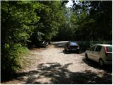
Drive into Kamnik and follow the road towards the Kamnik Bistrica valley. Approximately 2km after the lower station of the pendulum at Velika planina, you will see a parking lot on the right side of the road and mountain signs for Presedljaj, Konja and Korošica (the parking lot is located behind the bridge).
Path description:
From the parking lot, follow the path in the direction of Presedljaj, Korošica, Konja and Ojstrica. After a few metres, the path turns right, where it climbs only slightly at first, then begins to descend and after a few minutes joins the wide cart track. The ascent continues along the folded cart track, which soon crosses a torrent and then climbs gently to moderately towards the valley of the Kamniška Bela.
After a good 30-minute walk from the starting point, we reach a marked crossroads, where we continue to the right along a marked path (to the left the Orglice waterfall and the Korošica River via Šraj peska). Cart track turns into a steeper and steeper path shortly after the crossroads, which leads us further through the dense forest. Higher up, the path turns slightly to the left and crosses a torrential ravine. A little further on, the path over Najnar Štant (a difficult and exposed path leading to Korošica, higher up it joins the path over Šraj pesek) branches off almost imperceptibly to the left, and we continue straight on the marked path, which begins to climb in many switchbacks. Higher up, the path climbs even steeper for a short time and leads to a beautiful viewpoint with a table and a bench.
The path continues gently downhill, crosses a steep slope and leads to a torrential ravine. Here the path turns to the left side of the slope, climbs initially with the help of a few pegs and a higher rope, and then returns to the forest, where it climbs steeply for some time. Higher up, the path makes a transitional lay, then climbs steeply again and within a few minutes of further walking leads to the saddle Presedljaj, where there is a marked crossroads.
Continue left in the direction of Korošice (right Konj) along the path, which begins to climb up the left side of an indistinct ridge. After a few minutes the path turns to the right and lays down. The path continues along a path which is quite overgrown in places and climbs steeply through lane of dwarf pines. A little further on, the path crosses an exposed slope above the Lučka Bela valley, where there is also a memorial plaque to an unfortunate mountaineer. Just a few metres after the memorial plaque, the slope is laid and leads to an unmarked crossroads, where an unmarked path branches off to the left towards Vršiči and Vežice. Continue straight along the marked path, which continues northwards and, with a few short ascents and descents, quickly leads to a place where you join the more beaten track from the Lučka Bela valley. Here, continue to the left and walk past the Lučke Dedec trail junction to Praga (1910 m).
From Praga, continue straight ahead and follow a wide path which begins to descend crosswise towards the green Korošice plain. After 10 minutes of descending, the path flattens out and you are only a few steps of easy walking away from Kocbek's home.
At the home, turn left in the direction of Planjava and Kamnik saddle. The way forward is initially slightly downhill, and then, after a series of small valleys, a slight ascent leads us to a steeper part of the path. The path then climbs up along the ravine and only crosses it at a higher level. As we climb, more and more views open up and a natural window catches our eye. The path then switches from grassy to rocky slopes, where you quickly reach the sheltered part of the path. The well-protected and sometimes quite steep path then leads us to Srebrno sedlo, where a beautiful view of the Kamnik side opens up. Then cross the slopes to the west, ascending at a moderate gradient. We then come to the next crossroads, where we continue to the right towards the top of Planjava (Kamniško sedlo on the left). The green meadows are finally bidding farewell to the increasingly scenic route, replaced by grey rock. Just below the summit, the paths from Klemenča jame and Kamnička sedlo join up. There is only a short climb up the top slope of the mountain.
Before Belo - Presedljaj 3:00, Presedljaj - Korošica 2:00, Korošica - Planjava 2:00.

Pictures:
 1
1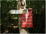 2
2 3
3 4
4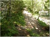 5
5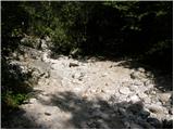 6
6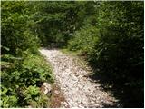 7
7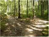 8
8 9
9 10
10 11
11 12
12 13
13 14
14 15
15 16
16 17
17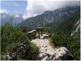 18
18 19
19 20
20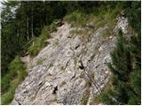 21
21 22
22 23
23 24
24 25
25 26
26 27
27 28
28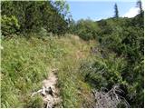 29
29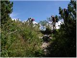 30
30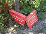 31
31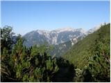 32
32 33
33 34
34 35
35 36
36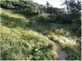 37
37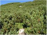 38
38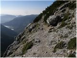 39
39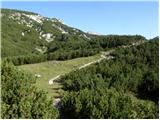 40
40 41
41 42
42 43
43 44
44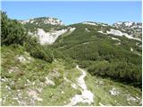 45
45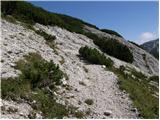 46
46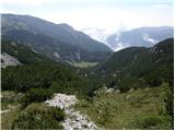 47
47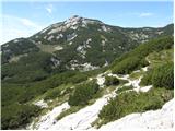 48
48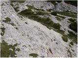 49
49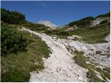 50
50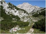 51
51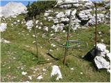 52
52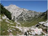 53
53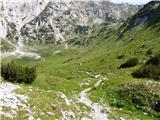 54
54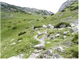 55
55 56
56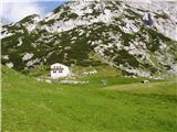 57
57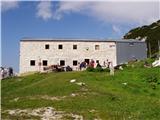 58
58 59
59 60
60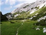 61
61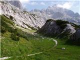 62
62 63
63 64
64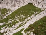 65
65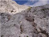 66
66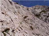 67
67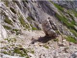 68
68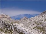 69
69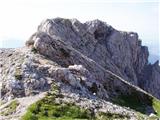 70
70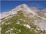 71
71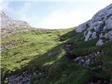 72
72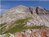 73
73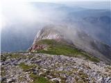 74
74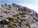 75
75
Discussion about the trail Pred Belo - Planjava
|
| navrhu5. 11. 2007 |
Poglejte si fotografijo in sicer v sedmi vrsti prva fotografija. Odprite jo. Nato pa poglejte v zgornji levi kot fotografije. Ali vidite?
Kaj?
Obraz moškega. In to zelo lepo vidni obe očesi, nos in usta. (usta so malce zamaknjena v desno stran obraza)
Ali je še kdo to opazil v "na licu mesta" oziroma na fotografiji kasneje?
|
|
|
|
| Guest5. 11. 2007 |
Povej številko fotografije, ker je vrstica odvisna od ločljivosti monitorja. Hvala
|
|
|
|
| petruša17. 05. 2010 |
Kakšne so kaj razmere od Korošice na Planjavo. Hvala
|
|
|