Preddvor - Planinska koča Iskra na Jakobu (Juhantova pot)
Starting point: Preddvor (460 m)
| Lat/Lon: | 46,3002°N 14,4281°E |
| |
Name of path: Juhantova pot
Time of walking: 1 h 25 min
Difficulty: easy unmarked way
Altitude difference: 501 m
Altitude difference po putu: 520 m
Map: Karavanke - osrednji del 1:50.000
Recommended equipment (summer):
Recommended equipment (winter): crampons
Views: 33.725
 | 1 person likes this post |
Access to the starting point:
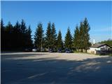
a) From the motorway Ljubljana - Jesenice, take the exit Kranj - East, then continue driving in the direction of Jezersko. When you arrive in Preddvor, leave the main road and continue driving to the left and then park in the parking lot on the left side of the road just after the bridge over Bistrica. The parking lot is located on the outside of the Jelovice complex.
b) From the motorway Jesenice - Ljubljana, take the exit Kranj - West and turn left at the first junction. Continue through the underpass under the motorway and then to the roundabout, from where you continue in the direction of Golnik. The road continues through the village of Mlaka at Kranj, and at the end of the village we turn right towards Srakovlje. We then drive through Srakovlje, Spodnja Bela, Srednja Bela to Zgornja Bela, where we turn right towards Preddvor. At the end of Preddvor, just 10 m before the road joins the main road Zgornje Jezersko - Kranj, you will see a large gravel parking lot next to the Jelovice complex, where you park.
Path description:
From the parking lot, first cross the road carefully, then continue along the narrow asphalt road towards the villages of Potoče and Hrib, Lake Črnava, the Bor Hotel and Castle Hrib, and Sv. Jakob and Potoška gora. Immediately after crossing the road, leave Preddvor and cross a small bridge into the village of Hrib, through which the road begins to climb, first gently and then moderately. When the village ends, a beautiful view soon opens up on the right towards Storžič, Cjanovca, Hudičev boršt, Sv. Jakob and also the Senčnica Josipine Turnograjske hill. A little further on, the road is laid and leads us to a crossroads where we continue straight in the direction of Senčnica Josipine Turnograjske, Novi grad), St. Jakob and Potoška gora (on the left Lake Črnava, Hotel Bor, Castle Hrib, on the right Senior Citizens' Home Preddvor) and continue along the ascending asphalt road. A little higher, at the chapel, the path from the centre of Preddvor joins us from the left, and we continue to the right, where we pass a few houses to reach the fence of the Preddvor Senior Citizens' Home. Here the road turns left and leads, among other things, to the nearby parking lot, and we continue on the footpath that continues along the fence.
The well-marked path, which we follow in the direction of Senčnica Josipine Turnograjske, leads us into the forest, through which it begins to climb steeply. We climb quite steeply through the forest for a few minutes, then the path flattens out and leads us to Senčnica Josipine Turnograjske, where there is also a registration box with a registration book.
From the top, there is a short descent along a forest path, then a forest road, which you follow to the left, and then a short easy descent. Soon you reach another wider road (the road leading from the parking lot near the Senior Citizens' Home Preddvor and bypassing Senčnica Josipine Turnograjske), which you cross slightly to the left, where you see red mountain direction signs as you enter the forest (you can also follow the aforementioned road to get here).
Continue in the direction of the ruins Novi grad) and the footpaths towards St. James and Potoška gora. The path continues to climb moderately through the wooded valley, then splits into two parts.
Take the left-hand path, called the Juhant path, which leads towards St James (slightly to the right is the usual marked path towards St James, Potoška gora, Javor's Peak, etc. ), which splits again after only a minute or two. To the left continues the marked path towards Novi grad, and we continue straight on the marked, but no longer marked path. The way forward climbs through the forest for some time, crossing a few dirt tracks and a dirt road higher up. There are a few more minutes of quite a steep climb, and then, passing a small wooden sign, you reach a wider track, which you follow to the left. From the point where you reach the track, it is only a minute's walk to the Planinska hut pri francium.
From the hut, we return a few steps to the nearby crossroads, and from there we continue along the marked mountain path towards the Iskra na Jakobu mountain hut. The way forward leads us through a short lane of forest, and then, with beautiful views, we reach the aforementioned mountain hut.

Pictures:
 1
1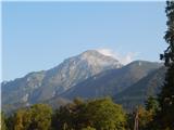 2
2 3
3 4
4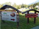 5
5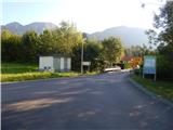 6
6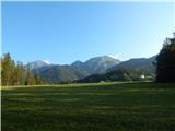 7
7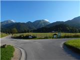 8
8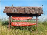 9
9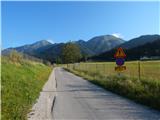 10
10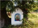 11
11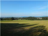 12
12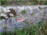 13
13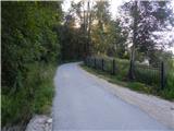 14
14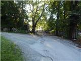 15
15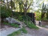 16
16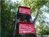 17
17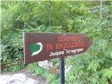 18
18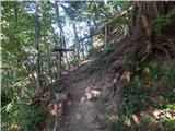 19
19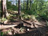 20
20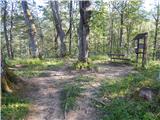 21
21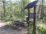 22
22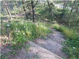 23
23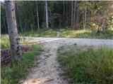 24
24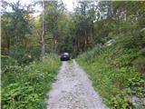 25
25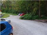 26
26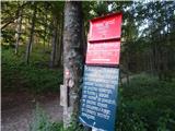 27
27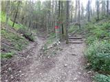 28
28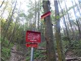 29
29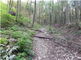 30
30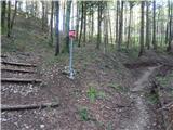 31
31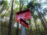 32
32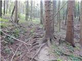 33
33 34
34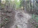 35
35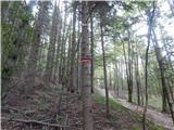 36
36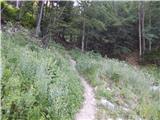 37
37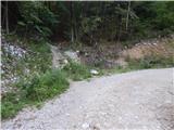 38
38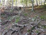 39
39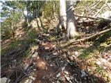 40
40 41
41 42
42 43
43 44
44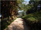 45
45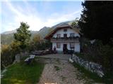 46
46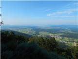 47
47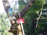 48
48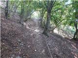 49
49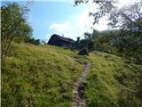 50
50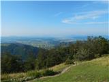 51
51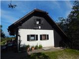 52
52
Discussion about the trail Preddvor - Planinska koča Iskra na Jakobu (Juhantova pot)