Predmeja (tunnels) - Bivak Črna peč (Srednječavenska pot)
Starting point: Predmeja (tunnels) (800 m)
| Lat/Lon: | 45,9377°N 13,8692°E |
| |
Name of path: Srednječavenska pot
Time of walking: 2 h
Difficulty: partly demanding marked way
Altitude difference: 30 m
Altitude difference po putu: 30 m
Map: Goriška 1:50.000
Recommended equipment (summer): helmet
Recommended equipment (winter): helmet, ice axe, crampons
Views: 5.913
 | 1 person likes this post |
Access to the starting point:
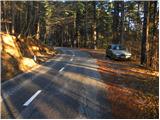
From the expressway Razdrto - Nova Gorica take the exit Ajdovščina and follow the road towards the village Lokavec (Lokavac can be reached from the centre of Ajdovščina, or from the old road Ajdovščina - Nova Gorica, where turn right at Cesta). From Lokavac, continue along the ascending winding road in the direction of Predmeja. Follow the road to the mountain signposts for Čaven, Veliki rob and Kucelj (the signposts are located between the quarry and the tunnels, the road marking is approx. 10 km). Park a few 10 m down the road in the parking lot.
The starting point can also be reached from Godovič, via Črni vrh and Colo to Predmeja. In this case, descend from Predmeja towards Ajdovščina and then park shortly after the third tunnel.
Path description:
From the parking lot, first walk to the route signs and then follow the Srednječavensko trail. The trail, which goes immediately into the forest, first climbs moderately and then continues crossing the slopes to the south. A wide and well-surfaced mountain path, it soon switches to steep slopes (danger of falling rocks) and gradually turns more and more to the right. A little further on, the path offers beautiful views of the Nanos and Vipava valleys, and the path gradually turns into a rockier world. A little further on, the path again enters a dense forest, where it begins to descend gently. After a short, gentle descent, you reach a crossroads, where you continue straight ahead (Lokavec down on the left, the hut at Čavno up on the right) along a path which, although it passes at an altitude of about 900 m, takes on the appearance of a real high-mountain path. The path leads us out of a mostly pine forest onto a scree slope, which opens up a beautiful view of the valley, with steep rocky cliffs to the right. At the end of the scree slope, the path passes into the walls of the eastern Mala gora, where we cross a wide and partly exposed ledge with the help of a rope. At the end of the ledge, we have a nice view of the Slano mudslide above Lokavec, and we continue along the Srednječavenská trail, which turns a little more to the right, where it begins to descend gently through lane of bushes. After a short descent, the path flattens out and we see a large rocky wall and a nice bench next to it for a short or longer rest. The path then continues through the forest and quickly leads to the next crossroads.
Continue straight on (left down Kamnje, right Mala gora and the cottage at Čavno) along the Srednječavenská trail, which is becoming a little less well maintained, but still easy to follow. As the trail continues through the forest, the markings disappear for a while, and then the trail leads us to the next, this time better marked crossroads. Continue in the direction of the hunting hut (left down Vrtovin, right Mala gora and the hut at Čavno) and continue in the same direction. The path, which passes into an even more dense forest, then leads us after 15 minutes of further walking to the hunting hut or bivouac Črna peč.

Pictures:
 1
1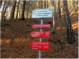 2
2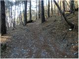 3
3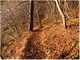 4
4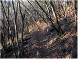 5
5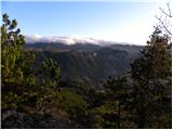 6
6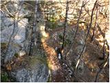 7
7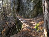 8
8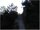 9
9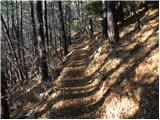 10
10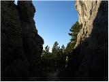 11
11 12
12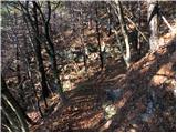 13
13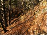 14
14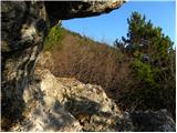 15
15 16
16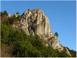 17
17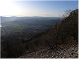 18
18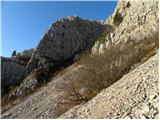 19
19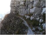 20
20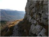 21
21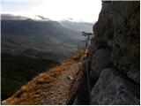 22
22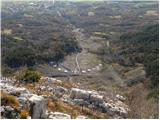 23
23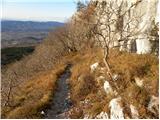 24
24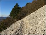 25
25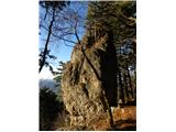 26
26 27
27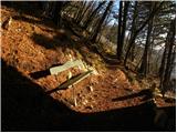 28
28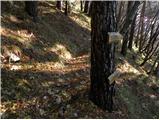 29
29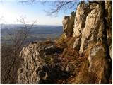 30
30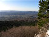 31
31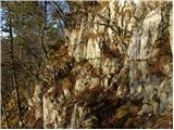 32
32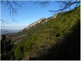 33
33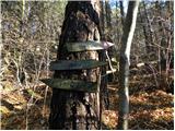 34
34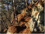 35
35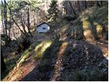 36
36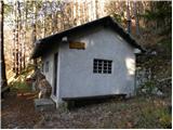 37
37
Discussion about the trail Predmeja (tunnels) - Bivak Črna peč (Srednječavenska pot)
|
| klemen7326. 07. 2012 |
 pot skorajda ravna, ravno primerna, da sem lahko stestiral nove pohodne čevlje.  Očitno pa se je nekdo, ki je v prejšnjih dneh podal po tej poti "potrudil", da je na stezo nametal sveže nalomljeve vejice in veje, ki so nama hodile med noge in ovirale normalno hojo. Večino sem sicer odstranil. Turo sva nadaljevala proti Mali Gori in dalje do koče na Čavnu (tukaj je bilo pa treba že malo v breg navzgor riniti  ) in po strmi poti navzdol do izhodišča. Tura za jo ponovit (s tem, da se od kože podamo proti Kuclju in dalje do Krnice).
|
|
|
|
| tine.sl27. 07. 2012 |
Klemen ne vem od kje si vendar dvomim da veš kaj je burja. Od tu so vejice,veje in storži na poti.
|
|
|
|
| klemen7318. 08. 2012 |
@tine.si
Popolnoma dobro vem, kaj je burja, saj sem doma iz teh krajev.
In burja ne lomi in reže vej (nekaj jih je bilo narezanih (z nožem?), a ne.
|
|
|
|
| *Sanda*3. 09. 2023 11:21:48 |
Ravno včiraj šla po tej poti do bivaka. Naj omenim da sem z dvema psoma z zmernim tempom do bivaka potrebovala 1h in 7min, na smerni tabli, na razpotju pri bivaku, je predviden čas 1h in 15min, kar pomeni da navedeni čas poti 2h ne drži, samo v vednost. Pot brez posebnosti, vzdrževana, le zadnji del poti manj, in razmočena podlaga zaradi deževnega poletja 2023  in je zato potrebna previdnost na poti 
|
|
|