Polomova rajda - Veliki Modrasovec (via Koča na Čavnu)
Starting point: Polomova rajda (1023 m)
| Lat/Lon: | 45,956°N 13,8541°E |
| |
Name of path: via Koča na Čavnu
Time of walking: 1 h 25 min
Difficulty: easy marked way
Altitude difference: 330 m
Altitude difference po putu: 350 m
Map: Goriška 1:50.000
Recommended equipment (summer):
Recommended equipment (winter): ice axe, crampons
Views: 12.455
 | 1 person likes this post |
Access to the starting point:
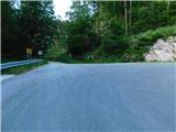
From central Slovenia, we drive to Logatec and on to Idrija, but only as far as Godovič. Here, turn left in the direction of Črni vrh. Follow this road towards Predmeja. After the village Predmeja, turn right towards the village of Lokve. Then follow the forest road to a sharp right turn where the road to Čaven turns left. Park here in a suitable parking space. There are a few small car parks nearby.
From the Primorska side, drive into the Vipava valley and follow the signs for the village of Lokavec. From here on, drive in the direction of Predmeje. The road, which is quite scenic in places, leads to a crossroads in front of Predmeja. Here, head straight in the direction of the village of Lokve and follow the road to a sharp right turn where the road to Čaven branches off to the left. Park here in a suitable space. There are a few small parking places nearby.
Path description:
From the parking lot, take the road towards Čavno. The road through the forest climbs gently and after about 15 minutes leads to a crossroads where you take the lower left road. Just a few minutes before the cottage, beautiful views of Primorska open up on the left side of the road. After that, it's just a short descent and we see the Čavno hut in front of us.
Behind the cottage, the signpost for Modrasovec directs us to the right onto a path that climbs across the meadow. After a few minutes, the path leads us into the forest and we follow it through the forest, first upwards and then almost horizontally for a while. After a few minutes we are at a crossroads, where we take the upper left path. The path here starts to rise slightly steeper and eventually leads us to the top of a forested ridge which we follow to the top. The summit sign on the old military building tells us that we are at the finish. To get a view, we have to climb to the top of the building. The easier access to the top is on the left through the bushes.
Starting point - Chalet on Čavnu 1:00, Chalet on Čavnu - Veliki Modrasovec 20 minutes.

Pictures:
 1
1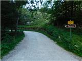 2
2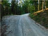 3
3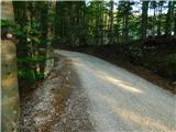 4
4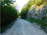 5
5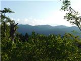 6
6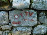 7
7 8
8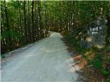 9
9 10
10 11
11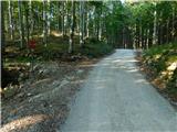 12
12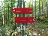 13
13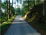 14
14 15
15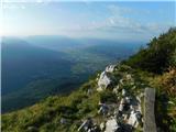 16
16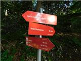 17
17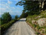 18
18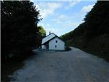 19
19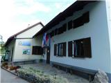 20
20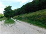 21
21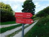 22
22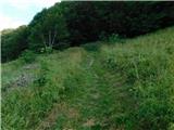 23
23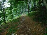 24
24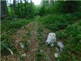 25
25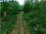 26
26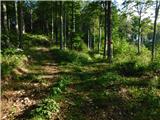 27
27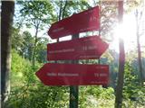 28
28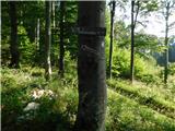 29
29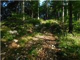 30
30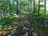 31
31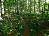 32
32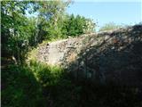 33
33 34
34
Discussion about the trail Polomova rajda - Veliki Modrasovec (via Koča na Čavnu)
|
| Guest22. 04. 2007 |
modrasov še ni vendar pa nikoli ne veš
|
|
|
|
| furioso19. 12. 2008 |
Kaj govoriš čolovek 
|
|
|
|
| Sam.volk20. 12. 2008 |
Spoštovani Gost,če želiš študijo o kači modras mi povej. Drugače pa fantek kje pa ti živiš lp franc
|
|
|
|
| koprofag21. 12. 2008 |
džizs, kake fore to imate, odgovarjate na eno let in pol stare komentarje. Dobro jutro!
|
|
|
|
| lessi23. 12. 2008 |
Ja saj tudi ti delaš enako koprofag, če so komentarji tako butasti kot ja tale prvi glede modrasov potem je potrebno oz. nujno neakaj odpisat takim kretenom. Na tem forumu planinci iščejo uporabne infomacije ne pa bedarije. Brez zamere koprofag. 
|
|
|
|
| koprofag23. 12. 2008 |
Lesi, raje se vrni domov! 
|
|
|
|
| VanSims18. 10. 2010 |
Lažji dostop na tisto zgradbo na vrhu je morda res na levi, je pa zato na desni takoj za vogalom 'plezalni'  No, sam razgled pa ni ne vem kakšen. 
|
|
|
|
| facko29. 12. 2019 |
Na "zgradbi" je postavljena lepa klopca in nad njo termometer  . Žiga ni. Razgled je.
|
|
|