Starting point: Prelska (395 m)
| Lat/Lon: | 46,337°N 15,199°E |
| |
Time of walking: 1 h 20 min
Difficulty: easy marked way
Altitude difference: 411 m
Altitude difference po putu: 450 m
Map:
Recommended equipment (summer):
Recommended equipment (winter): ice axe, crampons
Views: 6.060
 | 1 person likes this post |
Access to the starting point:
From the Ljubljana - Maribor motorway, take the Žalec exit and then continue towards Velenje. Before Velenje, we leave the main road, as the signs for Vinsko Gora direct us to the right onto a local road, which after a few metres leads us to the next crossroads. Here, turn right and go through Vinsko Gora to the neighbouring village of Prelska. From Prelska the road climbs steeply, and we follow it to the chapel, behind which there is a larger parking area near the Lamperček farm, where they have a reindeer ring.
Path description:
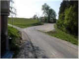
From the parking lot of the chapel, take the road to the left, where you will see the signs for the Vovk farm. The path initially leads along a narrower asphalt road, which you leave at the nearby farm and continue slightly left along cart track. Cart track soon turns right and starts to descend gently along the upper part of the meadow. After a short descent, we arrive in a small valley where the path leads us past some abandoned mills. Just a little higher up, you come out on an asphalt road, which you follow to the right, and we follow it to the first crossroads.
From the crossroads, where there is also an information sign for the municipality of Dobrna, continue to the left and after 100 m you will reach the farm Vovk, where the asphalt, or road, ends. Above the farm, the path turns into a wide cart track, which in turn turns into a narrow gorge, along which you can see a few dilapidated mills. Higher up, we leave the gorge and the path leads us to a meadow, across which we climb crosswise to the right. Above the meadow, cross another lane of woods, and then climb across another much larger meadow to Kamenšek Farm. Here you come out on a road which you follow to the right, and we follow it to a point where the signs for Vinska gora direct you to the left onto an ascending footpath. The path continues through a short strip of scrub and a larger meadow to the next dirt road, which we follow with a slight incline to the right. The road passes into woods just a little higher up, where it joins a wider macadam road. Here, bear hard left and follow the gently sloping road for 100 m, or until the point where the signs point right to cart track, which leads quickly up to a large clearing. Along the left edge of the clearing, the path climbs steeply to a viewpoint located at its upper edge.
From the viewpoint, where there is also a small bench, the path returns to the forest, through which it begins to climb steeply. Higher up, the path gently slopes down and within a few minutes of further walking leads us to the top of Vinska Gora.

Pictures:
 1
1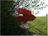 2
2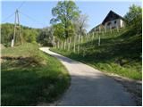 3
3 4
4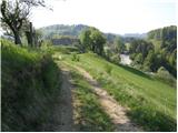 5
5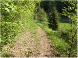 6
6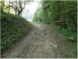 7
7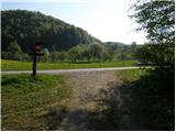 8
8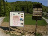 9
9 10
10 11
11 12
12 13
13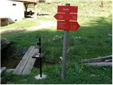 14
14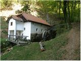 15
15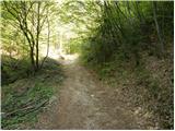 16
16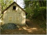 17
17 18
18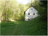 19
19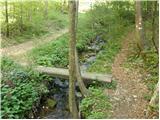 20
20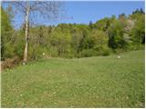 21
21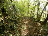 22
22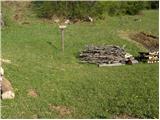 23
23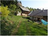 24
24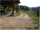 25
25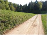 26
26 27
27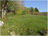 28
28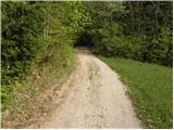 29
29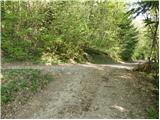 30
30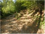 31
31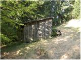 32
32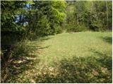 33
33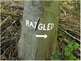 34
34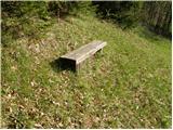 35
35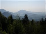 36
36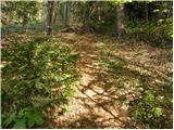 37
37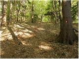 38
38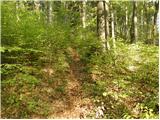 39
39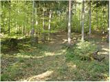 40
40 41
41 42
42
Discussion about the trail Prelska - Vinska gora