Preserje - Sveti Jožef (Mlečnik)
Starting point: Preserje (400 m)
| Lat/Lon: | 45,9613°N 14,4205°E |
| |
Time of walking: 15 min
Difficulty: easy unmarked way
Altitude difference: 41 m
Altitude difference po putu: 55 m
Map: Ljubljana - okolica 1:50.000
Recommended equipment (summer):
Recommended equipment (winter):
Views: 4.443
 | 1 person likes this post |
Access to the starting point:
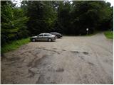
From the Ljubljana - Koper motorway, take the Brezovica exit and then continue in the direction of Podpeči. In Podpeča, from where the roads from Črna vas and Ig join, turn right in the direction of Krimo, Rakitna and Borovnice. Follow the road towards Borovnica for a short distance, then the signs for Rakitna direct you left up a slightly narrower and mainly steep road, which you then follow to a small pass. Turn left at the pass and after 100 m park in the marked parking area.
Path description:
From the parking lot, where there are mountain direction signs for Sveta Ana, Jezero, Podpeč, Krim, Planinica and Ledeno jamo, go back 100 m to the main road, and then turn left towards Preser and Rakitna. Follow the road as it descends gently to the fire station, and at this point we leave the main road and turn right onto a narrower road that continues by the sign (cross). The asphalt road climbs past a few houses, but when the asphalt ends, we will see a lesser forest road on the left, which climbs over a grassy hayfield. Overlooking Sveta Ana and Krim, we climb to a small crossroads where a dirt road turns sharp left to a nearby water tower, and we continue straight ahead on the initially barely visible grassy cart track. Cart track leads us quickly into the forest, through which we climb in 3 minutes to Mlečnik, the summit in the middle of which stands the 17th century church of St Joseph.
Pictures:
 1
1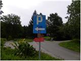 2
2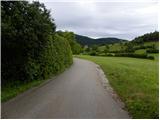 3
3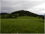 4
4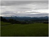 5
5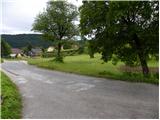 6
6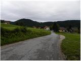 7
7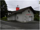 8
8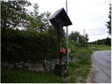 9
9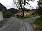 10
10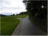 11
11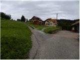 12
12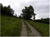 13
13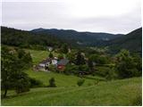 14
14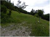 15
15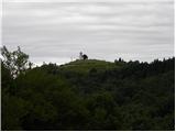 16
16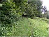 17
17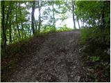 18
18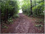 19
19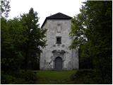 20
20
Discussion about the trail Preserje - Sveti Jožef (Mlečnik)