Pristavlja vas - Pristava above Stična
Starting point: Pristavlja vas (366 m)
| Lat/Lon: | 45,9533°N 14,835°E |
| |
Time of walking: 1 h 45 min
Difficulty: easy marked way
Altitude difference: 328 m
Altitude difference po putu: 415 m
Map:
Recommended equipment (summer):
Recommended equipment (winter):
Views: 6.738
 | 1 person likes this post |
Access to the starting point:
From the motorway Ljubljana - Novo Mesto, take the exit Ivančna Gorica, then follow the road towards Šentvid at Stična. In Šentvid pri Stična, turn left and continue driving towards the hamlet of Pristavlja vas. You can park at the end of the village, where the road ends, or at Šentvid pri Stični, which will take about 15 minutes longer.
Path description:
From the end of the road, continue along the marked cart track, which goes into the forest, where it climbs gently at first. The path, beautifully laid out and marked at the crossroads, starts to climb a little steeper and gradually turns from cart track to a wide footpath. The path, which mostly passes through the forest, leads us after about half an hour's walk to Lavričeva hut, from which we have a beautiful view of the valley and the surrounding hills.
From the hut you can continue to the nearby Gradišče peak, where the Church of St Nicholas stands, which is reached after a further walk of 10 steps.
From the top, continue along the marked path towards Pristava. The path continues along the right-hand side, bypassing a lonely house, and then passes into the forest, where it begins to descend more steeply. After a few minutes of descent, the path is laid, and then leads us to a forest road, which we just cross.
Continue ascending in the direction of Pristava and follow the path cart track, which climbs gently through the forest. The well-marked path leads us higher up to an asphalted road, where we also leave the forest. The road continues through Dobrava pri Stični, and we turn right at the crossroads in the middle of the village in the direction of Pristava. The road, which climbs gently to moderately throughout, leads us higher up to the village of Pristava nad Stično. Here you will see the inscription "Pristava 695 m B. K. P. stamp" on one of the houses, and we continue slightly to the right here (straight on cart track St. Lambert) and follow the road all the way to its end at the Partisan Home. From the end of the road, continue left and climb up to the highest point in 10 steps.

Pictures:
 1
1 2
2 3
3 4
4 5
5 6
6 7
7 8
8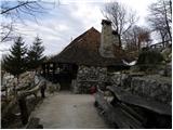 9
9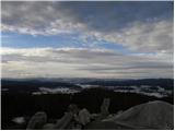 10
10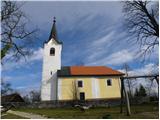 11
11 12
12 13
13 14
14 15
15 16
16 17
17 18
18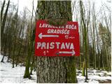 19
19 20
20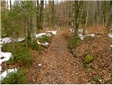 21
21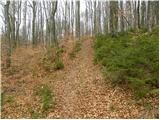 22
22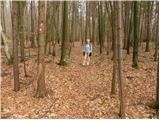 23
23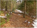 24
24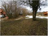 25
25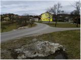 26
26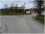 27
27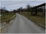 28
28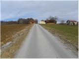 29
29 30
30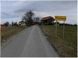 31
31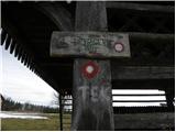 32
32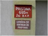 33
33 34
34 35
35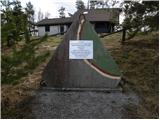 36
36 37
37 38
38 39
39
Discussion about the trail Pristavlja vas - Pristava above Stična
|
| ivanka.zrna2. 05. 2018 |
a res ni žiga bomo vprašali tiste, ki skrbijo za to, da nam se ni treba vznemirjati, nekateri pridemo od daleč-
|
|
|
|
| Hribolazec8110. 10. 2020 |
Žig je, ampak ga skrivajo v hiši - Naslov: Pristava pri stični 2, tam sem pozvonil in požigosal (Baje so 2x žig ukradli zato skrivajo)
|
|
|