Prtovč - Kosmati vrh (Ratitovec) (via Jesenovec)
Starting point: Prtovč (1011 m)
| Lat/Lon: | 46,2275°N 14,1135°E |
| |
Name of path: via Jesenovec
Time of walking: 1 h 45 min
Difficulty: easy marked way
Altitude difference: 632 m
Altitude difference po putu: 632 m
Map: Škofjeloško in cerkljansko hribovje 1:50.00
Recommended equipment (summer):
Recommended equipment (winter): ice axe, crampons
Views: 737
 | 1 person likes this post |
Access to the starting point:
a) First drive to Škofja Loka, then continue driving towards Železniki. When you arrive in Železniki, first at the crossroads where the road to Kropa, Dražgoše and Rudne branches off to the right, continue straight ahead, then a little beyond the Mercator shop, or opposite the Niko d. o. o. company, continue right in the direction of Podlonk and Prtovča. Continue along the road, which begins to climb steeply, and we follow the fully asphalted road to the parking lot at Prtovč, which is located near the Church of Our Lady Help of Christians.
From the main road to Železniki, the starting point is less than 6 km.
b) From Cerkno, Podbrdo or Sorice, drive to Zali Log, then continue to Škofja Loka. When you arrive in Železniki, leave the main road and continue driving to the left in the direction of Podlonk and Prtovča. Continue along the road, which begins to climb steeply, and we follow the fully asphalted road to the parking lot at Prtovč, which is located near the Church of Our Lady Help of Christians.
From the main road to Železniki, the starting point is less than 6 km.
Path description:
From the starting point, walk to the nearby NOB monument, which is located at the beginning of the village Prtovč, and from the crossroads continue along the right-hand road in the direction of the Hunting Hut at Tola. The path initially leads us along a scenic road from which we have a beautiful view towards Dražgoše and the surrounding hills, and then passes into the forest, through which it climbs steeply. Soon a short road branches off to the right to the aforementioned hunting lodge, and we continue straight ahead, continuing our cross-country ascent to the right. Higher, or after about 45 minutes of walking from the starting point, we arrive at a ridge where we see a small memorial by the road, and to our right we get some views towards Železniki. Here the road stops climbing and we reach the marked path Raztovka - Ratitovec, which we follow left into the forest. After a short climb, we reach cart track, after which we quickly reach a marked crossroads where we continue slightly left (slightly right mountain pasture Klom).
Continue in the direction Kosmati vrh, following the path, which gradually becomes a wooded ridge. The path climbs quite steeply for a short time, then leads out of the forest to the grazing areas of the aforementioned summit. Here the path partly disappears and turns slightly to the left, where it passes onto the summit slope of Kosmati vrh. The track then disappears completely and we continue southwards, or south-westwards. To help us find our way, there are markings on the rocks, but they are not visible in the fog, which makes orientation a little more difficult. Follow this "path", which climbs moderately to steeply, all the way to the lookout Kosmati vrh, which is reached after a good 15 minutes of further walking.

Pictures:
 1
1 2
2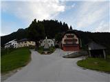 3
3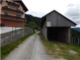 4
4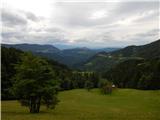 5
5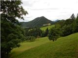 6
6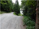 7
7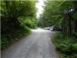 8
8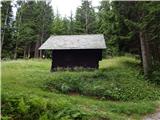 9
9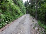 10
10 11
11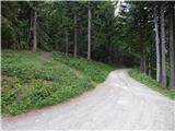 12
12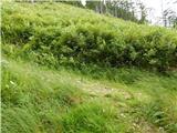 13
13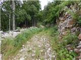 14
14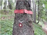 15
15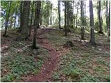 16
16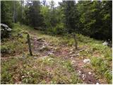 17
17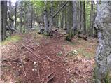 18
18 19
19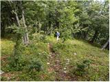 20
20 21
21 22
22 23
23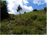 24
24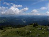 25
25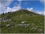 26
26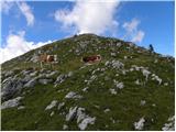 27
27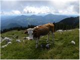 28
28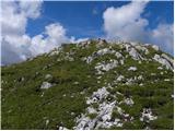 29
29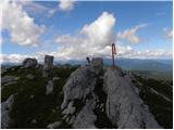 30
30
Discussion about the trail Prtovč - Kosmati vrh (Ratitovec) (via Jesenovec)