Radlje ob Dravi - Kapunar / Kapunerkogel
Starting point: Radlje ob Dravi (370 m)
| Lat/Lon: | 46,6148°N 15,225°E |
| |
Time of walking: 2 h 15 min
Difficulty: easy marked way
Altitude difference: 681 m
Altitude difference po putu: 681 m
Map:
Recommended equipment (summer):
Recommended equipment (winter):
Views: 10.695
 | 2 people like this post |
Access to the starting point:
From Maribor we drive towards Dravograd. In Radlje ob Dravi, park in an open parking lot in the centre of the village, preferably by the church.
Path description:
From the parking lot near the church, take the marked path, first the road through Radlje, later the path branches off to the right. At the turnoff, the markings are a little less visible, so you need to be a bit careful.
The path passes a few houses, then enters the forest. When you come out of the forest onto the forest road, the signs direct you to Kapunar. There are two routes to choose from, the road, which is longer, and our route, which goes into the forest by the water intake.
The path is well marked and well trodden, so it is not difficult to follow.
After a short climb in the forest, you reach a meadow with a view and a farm.
When you pass the farm, the path splits immediately afterwards. Continue along the above cart track. The forest road and footpath alternate for a while, and then the forest road, which is not to steep, is followed all the way to the old caravan.
There is no marked path from the caravelle to the top, but the climb to the top is so short that you can climb up any part of the forest. There is no view from the top, but there is a beautiful view from the caravan used by the radio amateurs.

Pictures:
 1
1 2
2 3
3 4
4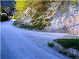 5
5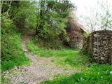 6
6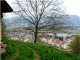 7
7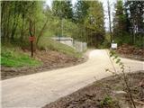 8
8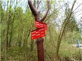 9
9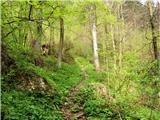 10
10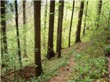 11
11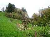 12
12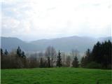 13
13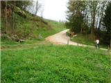 14
14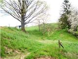 15
15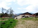 16
16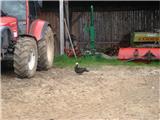 17
17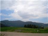 18
18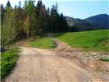 19
19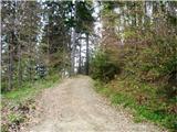 20
20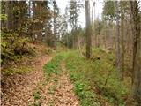 21
21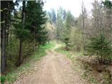 22
22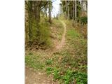 23
23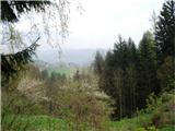 24
24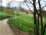 25
25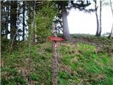 26
26 27
27 28
28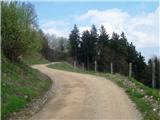 29
29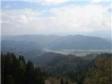 30
30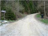 31
31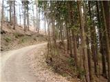 32
32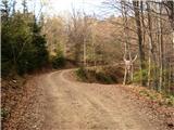 33
33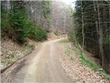 34
34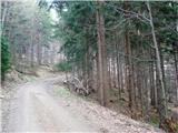 35
35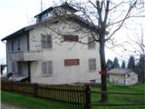 36
36 37
37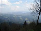 38
38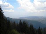 39
39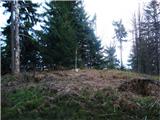 40
40
Discussion about the trail Radlje ob Dravi - Kapunar / Kapunerkogel