Rakitna - Županov vrh (west path)
Starting point: Rakitna (789 m)
| Lat/Lon: | 45,8907°N 14,4397°E |
| |
Name of path: west path
Time of walking: 35 min
Difficulty: easy unmarked way
Altitude difference: 210 m
Altitude difference po putu: 210 m
Map: Ljubljana - okolica 1:50.000
Recommended equipment (summer):
Recommended equipment (winter):
Views: 2.704
 | 2 people like this post |
Access to the starting point:
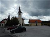
a) From the Ljubljana - Koper motorway, take the Brezovica exit and then continue in the direction of Podpeč (Podpeč can also be reached from Črna vas or Ig). In Podpeč, continue in the direction of Borovnica, Krima and Rakitna and continue along the edge of the Ljubljana Moor for a short distance before the signs for Rakitna direct you left onto a steeply ascending road. The road then leads through Preserje, where it also begins to descend. After a short descent, continue left towards Krima and Rakitna, and we then follow the mostly ascending road to Rakitna (after the turnoff for Krim, the road starts to descend), where we park in the parking lot next to the church.
b) First drive to Cerknica, then continue in the direction of Begunje, and when you arrive in Begunje follow the signs for Rakitna. When you arrive at Rakitna, park in the parking lot next to the parish church in Rakitna.
Path description:
From the parking lot, follow the marked trail or, at first, the road in the direction of Krimo, Doma v Iški Vintgar, farms Benko and Ustje, Vrbica and the village of Osredek. The road initially leads us past the chapel, the Mercator shop, and then after a short climb leads us to a place where a road branches off to the left to the nearby Krimček Café, and we continue slightly to the right and continue along the marked road. The road then leads us past a few pastures and houses, and then splits into two parts.
Continue up the road to the left (the road to the spa MKZ Rakitna leads off to the right) and after a short climb it splits again. This time continue straight on in the direction of the Krim (to the right is the Krvavice Partisan Hospital and Iški Vintgar) on a less good macadam road, which becomes slightly steeper. When the marked path turns right, leave it and continue left on the unmarked cart track, which starts to climb steeply through the forest. Through the forest we initially climb along the edge of the pasture, so that occasionally we get some views towards Rakitna and Novaška Gora. The rather steep cart track turns slightly to the right higher up and leads us to the ridge north-west of Županov Peak. On the ridge we have a fine view towards the Krim, and we continue to the right along cart track, which continues through the forest. When the cart track, which leads to the antennae on Županov vrh, recedes slightly to the left from the ridge, we leave it and continue our ascent along a less visible path that continues along the ridge. When the forest ends after a few minutes, we return to cart track, after which we reach Županov vrh within a minute or two of further walking, enjoying increasingly beautiful views.
Description and pictures refer to the situation in 2014 (August).

We can extend the trip to the following destinations: Rotovc
Pictures:
 1
1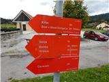 2
2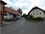 3
3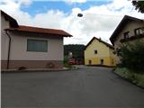 4
4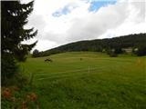 5
5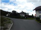 6
6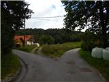 7
7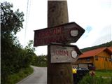 8
8 9
9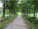 10
10 11
11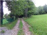 12
12 13
13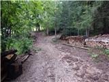 14
14 15
15 16
16 17
17 18
18 19
19 20
20 21
21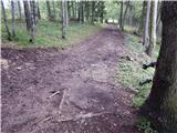 22
22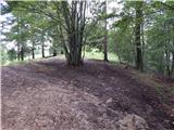 23
23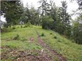 24
24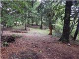 25
25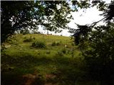 26
26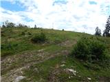 27
27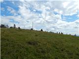 28
28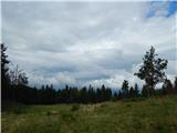 29
29 30
30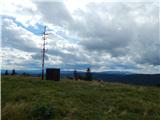 31
31
Discussion about the trail Rakitna - Županov vrh (west path)