Starting point: Rateče (865 m)
| Lat/Lon: | 46,4962°N 13,7193°E |
| |
Time of walking: 20 min
Difficulty: easy marked way
Altitude difference: -20 m
Altitude difference po putu: 5 m
Map: Kranjska Gora 1:30.000
Recommended equipment (summer):
Recommended equipment (winter):
Views: 6.100
 | 1 person likes this post |
Access to the starting point:
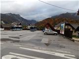
a) First drive to Kranjska Gora, then continue driving to Ratečeam. At the junction where the road to Planica turns left and continues straight on towards Itali, turn right and drive into the centre of Rateč, where you will park in a suitable place next to the main bus station.
b) Via Border crossing Rateče go into Slovenia, then turn left at the junction where the road to Planica branches off to the right, turn left again a little further on at the junction by the NOB memorial, then park in a suitable place by the main bus stop.
Path description:
From the bus stop, go back a few 10 steps to the crossroads where the NOB (National Liberation) memorial is located, and from there continue straight in the direction of the greenery. We continue along a dead-end street where we pass several houses, and we walk along the road to the end of the dead-end street. When the road ends, it descends in a few steps to the main road Kranjska Gora - Rateče, and we follow it to the left towards Kranjska Gora. Walk along the main road for a minute or two, then carefully cross the main road and arrive at the parking area of the Zelenci cafeteria. From the parking lot, continue along the well-maintained tourist trail, following the path on the left at the crossroads. After a few minutes of pleasant walking through the forest, you will reach Zelenci, and after a few more steps you will reach a small wooden tower.
Description and pictures refer to the situation in 2015 (October).
Pictures:
 1
1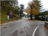 2
2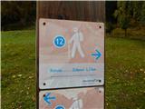 3
3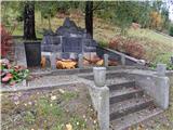 4
4 5
5 6
6 7
7 8
8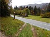 9
9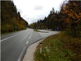 10
10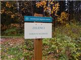 11
11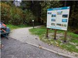 12
12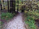 13
13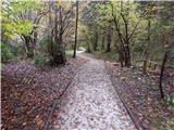 14
14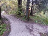 15
15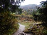 16
16 17
17 18
18
Discussion about the trail Rateče - Zelenci