Ravenska Kočna - Kranjska Rinka (Slovenska pot)
Starting point: Ravenska Kočna (1000 m)
| Lat/Lon: | 46,385°N 14,5364°E |
| |
Name of path: Slovenska pot
Time of walking: 4 h 35 min
Difficulty: very difficult marked way
Altitude difference: 1453 m
Altitude difference po putu: 1500 m
Map: Kamniške in Savinjske Alpe 1:50.000
Recommended equipment (summer): helmet, self belay set
Recommended equipment (winter): helmet, self belay set, ice axe, crampons
Views: 21.310
 | 1 person likes this post |
Access to the starting point:
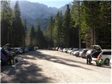
From the motorway Ljubljana - Jesenice take the exit Kranj - East and follow the road towards Jezersko. At Zgornje Jezersko, just past the petrol station, you will see a road that branches off the main road to the right (towards Planšarsko jezero). The road then takes you past the lake and climbs steeply behind it for a short distance. Higher up, the road flattens out and loses its asphalt surface at the beginning of a large meadow. The dirt road is then followed to a marked large parking lot.
Path description:
From the parking lot, continue along the macadam road following the signs "Češka koča, Ledine" and after about 15 minutes' walk you will reach the cargo cableway.
From the former parking lot of the cargo cableway, follow the path between the two cableways (the lower station of the cargo cableway to Kranjska Cottage burnt down in June 2015) and then slightly uphill. The path soon leaves the forest and continues through dwarf pines. After a while, the path leads to a ravine called Žrelo. Here we are at a crossroads, where we continue left (straight on through Žrelo), and the path then immediately becomes climbable. The path is well protected, but caution is still needed because of the wet rocks. The path over the short wall is also quite exposed in places, but full of good views. After climbing this part, the route returns to the dwarf pines, through which you then climb on a well-beaten path. Continue up quite steeply and soon the route through Žrelo joins from the right. From here to Kranjska hut is only a short 10 steps walk.
From the hut, continue to the left and east in the direction of Ledinski vrh, Mrzla gora and Baba. The path, which is initially quite steep, leads us in a few minutes to a crossroads, where we go to the right path (left climbing route to Babe). The way forward becomes only slightly steeper and leads us to a slightly more difficult passage over a rocky escarpment. Here we are helped by a rope, but the crossing is not difficult in the dry. The path then leads us to the broad slopes below Ledinski vrh, from which there is a fine view towards the glacier below Skuta, which can be seen on the right hand side. The way forward climbs moderately and leads us only a few 10 m before Jezersko sedlo to the next marked crossroads, where we continue to the right in the direction of Koroška Rinka or Križa (left Ledinski vrh, Velika Baba, Mrzla gora).
The trail then climbs moderately over a less steep scree slope before joining the trail from the Logarska dolina.
The trail then climbs past a natural window and then turns slightly to the right, crossing steep western slopes on the ascent. The trail then turns left and climbs steeply along a glacier. Soon the northern slopes of the mountain are reached and there is some easy climbing on broken rocks without fixed safety gear. Re-acquire the western slopes, where the route climbs very steeply again along the steel cable. From here there is also a very fine view of the precipitous cliffs of the Skute. There is a rather exposed traverse along the western side of the mountain, then the path turns left again and climbs almost vertically along the steel cable. The north slopes of the mountain are reached again and there is a short climb along the steel cable to the top of Koroška Rinka. From Križ, or Koroška Rinka, descend to the other side, along a path that descends steeply towards the valley between Kranjska and Koroška Rinka. The way ahead first follows a crumbly ravine, then turns to scree, where you quickly reach a crossroads, where you continue to the right (Turski žleb and Kamniška Bistrica on the left). The trail crosses the slopes of Koroška Rinka, then turns slightly to the left, where it climbs steeply. There is a short, very steep climb, and then the path leads to the main ridge, which is followed in a few steps to the top of Kranjska Rinka.
Ravenska Kočna - Ledine 2:00, Ledine - Koroška Rinka 2:15, Koroška Rinka - Kranjska Rinka 20 minutes.

Pictures:
 1
1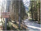 2
2 3
3 4
4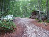 5
5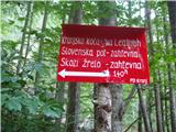 6
6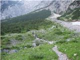 7
7 8
8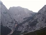 9
9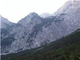 10
10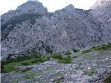 11
11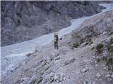 12
12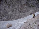 13
13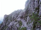 14
14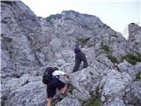 15
15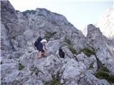 16
16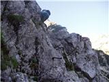 17
17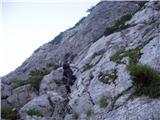 18
18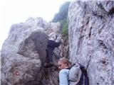 19
19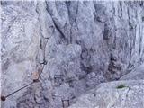 20
20 21
21 22
22 23
23 24
24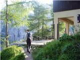 25
25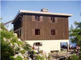 26
26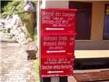 27
27 28
28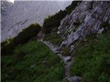 29
29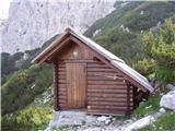 30
30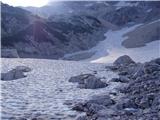 31
31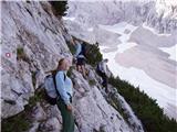 32
32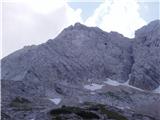 33
33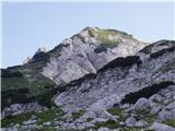 34
34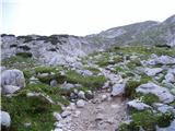 35
35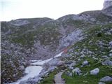 36
36 37
37 38
38 39
39 40
40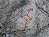 41
41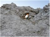 42
42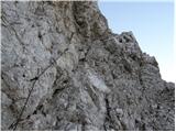 43
43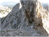 44
44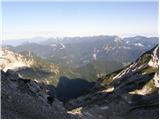 45
45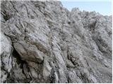 46
46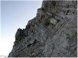 47
47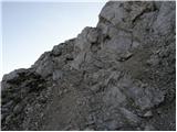 48
48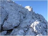 49
49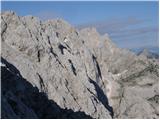 50
50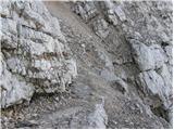 51
51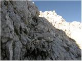 52
52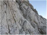 53
53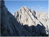 54
54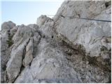 55
55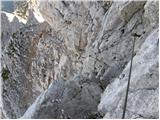 56
56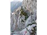 57
57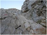 58
58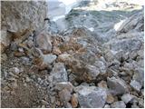 59
59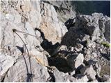 60
60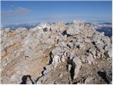 61
61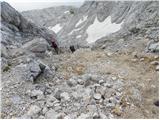 62
62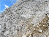 63
63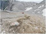 64
64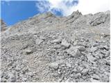 65
65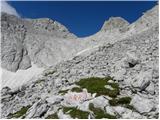 66
66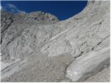 67
67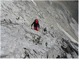 68
68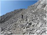 69
69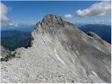 70
70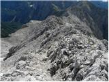 71
71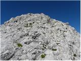 72
72 73
73
Discussion about the trail Ravenska Kočna - Kranjska Rinka (Slovenska pot)
|
| MRobin19. 08. 2011 |
Danes sem po poti Ravenska kočna - Slovenska pot - Kranjska koča na Ledinah izgubil ključe od avtomobila VW Polo na katere je pritrjen še en manjši srebrni ključ. Če kdo najde lepo prosim naj to sporoči na 040-860-494.
LP
|
|
|
|
| soncyka14. 08. 2012 |
Fina pot. Sama sem šla skozi Žrelo do Kranjske koče na Ledinah, nato do Koroške in Kranjske Rinke. Iz Koroške Rinke na Kranjsko je pot malo bolj zahtevna, malo manj označena, ker je vmes tudi melišče, ampak vseeno odlična. Nazaj grede sem šla po isti poti, se ustavila še na Ledinskem vrhu, in potem po Slovenski poti iz Kranjske koče v dolino. Luštna turca!
|
|
|
|
| malimiha26. 06. 2016 |
zdravo mogoče kdo ve kakšne so kaj razmere? hvala in lp
|
|
|
|
| redbull29. 06. 2016 |
28.06.16
Iz Okrešlja čez Križ (kopna zavarovana pot).
Nadaljevanje je bilo le na začetku potrebno do prve jeklenice 3 metre po snegu. Naprej je še na poti nekaj snega, a ni potrebno hoditi po njem. Za pot ne potrebuješ derez, cepin priporočljiv vsaj tam pri omenjenih treh metrih prečenja snega.
Srečno
|
|
|
|
| redbull29. 06. 2016 |
To zgoraj napisano ne gledat, malo sem narobe prebral. Razmere sem opisal za vzpon na Koroško Rinko.
|
|
|
|
| Batistuta23. 08. 2018 |
Pot od ledenika pod Skuto dalje je dejansko zelo zahtevna, ena najbolj zahtevnih planinskih poti v Sloveniji (sem izkušen planinec). Kot navajajo prejšnje objave, so markacije zelo zlizane, tako da sem neprestano izgubljal čas z orientacijo. Jeklenice so izruvane na treh mestih od tega na enem zelo nevarnem. Jeklenice so tudi poškodovane in razcefrane, do krvi sem se opraskal po desni dlani, podlakti ter po levem komolcu. Klini so večkrat precej preveč narazen, treba je malo prosto splezati. Na nekaterih mestih je nemogoče hoditi brez proženja kamenja. Pot od Koroške do Kranjske Rinke je pravzaprav melišče, po katerem drsi in se proži kamenje. Svetujem torej pot le za zelo izkušene planince z uporabo zaščitnih rokavic in čelade. Okno ob poti (pod Koroško Rinko) je lahko dostopno in nujen postanek, saj je skozi fantastičen razgled na drugo stran planin. 5 minut naprej od okna sem videl čredo 6 gamsov. Prekrasno! Na vrhu se je v 15 minutah spremenilo vreme in pot navzdol je bila tako nočna mora, saj je deževalo, grmelo in mi drselo do obupa. Na Ledine sem prišel povsem izmučen. Ne hodite gor, če napoved ni, da bo popolnoma jasno cel dan (kar pa v Sloveniji itak nikoli ni  ). Srečno!
|
|
|