Ravenska Kočna - Vellacher Turm/Storžek (Slovenska pot)
Starting point: Ravenska Kočna (1000 m)
| Lat/Lon: | 46,385°N 14,5364°E |
| |
Name of path: Slovenska pot
Time of walking: 4 h
Difficulty: very difficult marked way
Altitude difference: 1110 m
Altitude difference po putu: 1225 m
Map: Kamniške in Savinjske Alpe 1:50.000
Recommended equipment (summer): helmet, self belay set
Recommended equipment (winter): helmet, self belay set, ice axe, crampons
Views: 5.710
 | 1 person likes this post |
Access to the starting point:
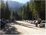
From the motorway Ljubljana - Jesenice take the exit Kranj - East and follow the road towards Jezersko. At Zgornje Jezersko, just past the petrol station, you will see a road that branches off the main road to the right (towards Planšarsko jezero). The road then takes you past the lake and climbs steeply behind it for a short distance. Higher up, the road flattens out and loses its asphalt surface at the beginning of a large meadow. The dirt road is then followed to a marked large parking lot.
Path description:
From the parking lot, continue along the macadam road following the signs "Češka koča, Ledine" and after about 15 minutes' walk you will reach the cargo cableway.
From the former parking lot of the cargo cableway, follow the path between the two cableways (the lower station of the cargo cableway to Kranjska Cottage burnt down in June 2015) and then slightly uphill. The path soon leaves the forest and continues through dwarf pines. After a while, the path leads to a ravine called Žrelo. Here we are at a crossroads, where we continue left (straight on through Žrelo), and the path then immediately becomes climbable. The path is well protected, but caution is still needed because of the wet rocks. The path over the short wall is also quite exposed in places, but full of good views. After climbing this part, the route returns to the dwarf pines, through which you then climb on a well-surfaced path. Continue up quite steeply and soon the route through Žrelo joins from the right. From here to Kranjska hut is only a short 10 steps walk.
From the hut, turn left to the east in the direction of Ledinski vrh, Mrzla gora and Rink. The path, which is initially quite steep, leads us in a few minutes to a crossroads, where we go to the right path (left climbing on Babe). The way forward becomes only slightly steeper and leads us to a slightly more difficult crossing over a rock peak. Here we are helped by a rope, but the crossing is not difficult in dry conditions. The path then leads us to the wide slopes below Ledinski vrh from which there is a fine view towards the glacier below Skuta, which can be seen on the right hand side. The path then leads us in a moderate ascent to Jezersko sedlo, bordering neighbouring Austria.
From Jezersko sedlo continue right towards Savinjsko sedlo, which is reached after about 15 minutes of cross-country walking.
From Savinjsko sedlo, continue sharp left (Okrešelj and Mrzla gora on the right) along the path which starts descending towards the valley of Belská Kočna. After a few minutes of descending, you will notice a large rock inscription on the left side of the path "Klettersteig". Leave the path here towards the valley of Belská Koča and head left up a slightly less well-trodden track. The path, which is marked with red dots, soon leads to the entrance to the climbing part of the route. The climbing route initially crosses the steep eastern slope of the mountain to the north with the help of a rope and crampons. The route then turns left and climbs steeply upwards along the scree. Later, the path leads to a steep partly grassy slope where caution is needed as the path is often slippery. In the last part of the path turn left and there is a short climb up an unprotected slope towards the summit. Ravenska Kočna - Kranjska koča 2:00, Kranjska koča - Vellacher Turm 2:00.

Pictures:
 1
1 2
2 3
3 4
4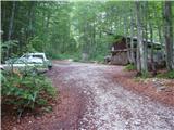 5
5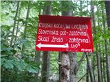 6
6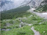 7
7 8
8 9
9 10
10 11
11 12
12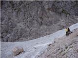 13
13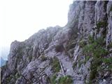 14
14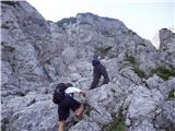 15
15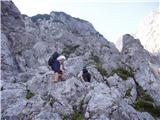 16
16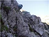 17
17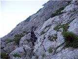 18
18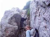 19
19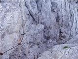 20
20 21
21 22
22 23
23 24
24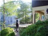 25
25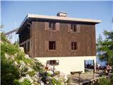 26
26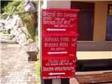 27
27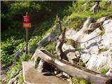 28
28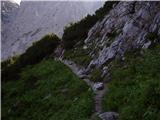 29
29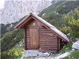 30
30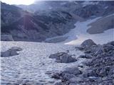 31
31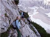 32
32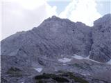 33
33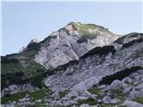 34
34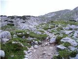 35
35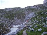 36
36 37
37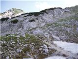 38
38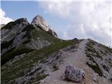 39
39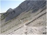 40
40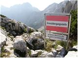 41
41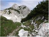 42
42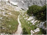 43
43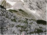 44
44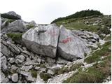 45
45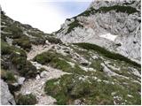 46
46 47
47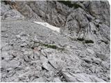 48
48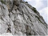 49
49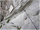 50
50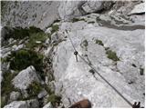 51
51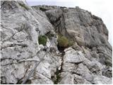 52
52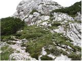 53
53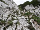 54
54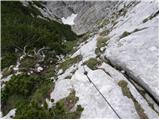 55
55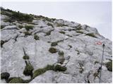 56
56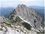 57
57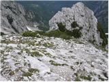 58
58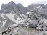 59
59
Discussion about the trail Ravenska Kočna - Vellacher Turm/Storžek (Slovenska pot)
|
| smatjaz6. 08. 2017 |
Prvi del jeklenice na fotografiji 51 izpuljen, vendar ne pretrgan. Previdno..... če jih gre več eden po eden med še držujočima klinoma.
|
|
|
|
| PlaRinka30. 07. 2019 |
Danes opravila tole turo: trenutno so izpuljeni vsi klini na slikah 50 in 51, razen tistega poleg markacije na sliki 50 ter povsem zgornjega na sliki 51 - jeklenica je tako povsem ohlapna in pomaga bolj pri občutku varnosti ob vpenjanju in manj pri samem manevriranju po skobah.
Prav tako so na številnih točkah izruvani klini jeklenice na sliki 54, ampak nič kritičnega.
Vsekakor pa čudovit izlet, ki na koncu postreže z odličnimi razgledi!
|
|
|
|
| garmont30. 07. 2019 |
Na žalost je takšno stanje jeklenic in klinov že nekaj let. Bojim se, da so sosedi pozabili na tole lepo pot. 
|
|
|
|
| dprapr31. 07. 2019 |
Verjetno se ne sekirajo preveč za tiste dotrajane zajle in kline, ker je na zgornji strani lep, naraven pristop.
|
|
|