Starting point: Ravne (743 m)
| Lat/Lon: | 45,558°N 14,7692°E |
| |
Time of walking: 1 h 30 min
Difficulty: easy marked way
Altitude difference: 449 m
Altitude difference po putu: 449 m
Map:
Recommended equipment (summer):
Recommended equipment (winter):
Views: 8.937
 | 1 person likes this post |
Access to the starting point:
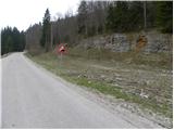
a) First drive to Ribnica, then continue to Kočevje. After Dolenjja vasja, turn right towards Grčarice, Gotenica and Kočevska Reka. In Kočevska Reka, turn right towards Borovec at Kočevska Reka, Strma Reber Pass and Osilnica. In Borovec, turn right once more, then you will reach the hamlet of Ravne, and we continue driving a little further, but only to the place where you will see a road sign for a 10% gradient by the roadside. Park on the side of the road where there is enough space to do so.
b) From Kočevje, drive towards Border crossing Petrina, then at the end of Štalcerji, turn right towards Kočevska Reka. In Kočevska Reka turn left towards Borovec at Kočevska Reka, Strma Reber Pass and Osilnica. In Borovec, continue right, then reach the hamlet of Ravne, and we continue driving a little further, but only to the point where we see a road sign for a 10% gradient. Park on the side of the road where there is enough space.
c) From Osilnica or Sel at Osilnica, continue in the direction of Žurge, Padova at Osilnica, Zgornji Čačič and the Strma Reber pass. From the pass onwards, the road begins to descend and we follow it to the turn-off for the Ravne hunting lodge. Park near the turnoff or about 100 m further along the main road, where on the opposite side of the road we see a road sign for a 10% gradient (the sign is not visible from our direction, of course), and a rock with markings on the right.
Path description:
On the other side of the road as the road sign, notice the mountain markings for Cerk, which direct us on the path that climbs zložno across the meadow and leads us in a few minutes to the nearby hunting lodges (the path can also start at the hunting lodge).
From the hunting lodge, continue slightly to the left along a less visible path which quickly leads to the animal feeding area. The trail then passes into the forest, where it continues along the moderately steep cart track. After about 15 minutes' walk from the starting point, the cart track splits into two parts, and we continue along the right-hand one, which initially has no markings (the left-hand, more beaten path leads to the Stone Wall and on towards Krempa). The right-hand cart track, which we continue to climb, quickly leads us to the next crossroads, where we see the markings again. Continue along the marked cart track, which turns into a less well-trodden footpath higher up. The path crosses a small torrent, then climbs to the next cart track which is followed to the left. Continue up the rocky and leaf-covered cart track, which soon leads to a forest road.
Continue along the forest road for a while, and then the signs for Cerk direct you left to cart track. Follow the well-marked but occasionally quite overgrown cart track until it reaches a small level below the top of Cerk. Here continue slightly left and then follow the slightly steeper path all the way to the top of Cerk.

Pictures:
 1
1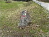 2
2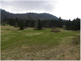 3
3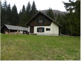 4
4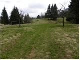 5
5 6
6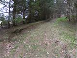 7
7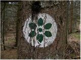 8
8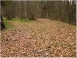 9
9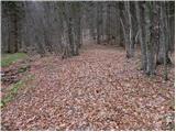 10
10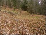 11
11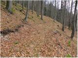 12
12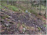 13
13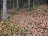 14
14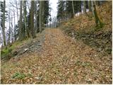 15
15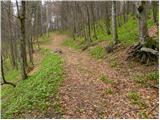 16
16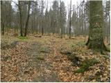 17
17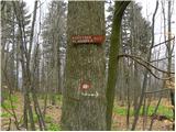 18
18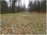 19
19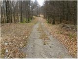 20
20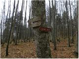 21
21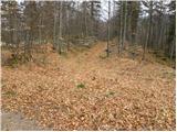 22
22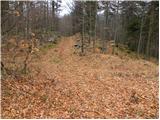 23
23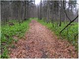 24
24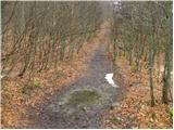 25
25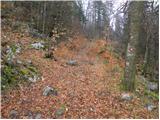 26
26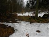 27
27 28
28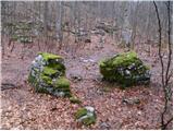 29
29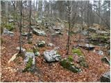 30
30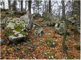 31
31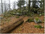 32
32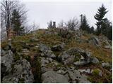 33
33 34
34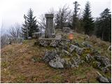 35
35
Discussion about the trail Ravne - Cerk
|
| Alenka Marinč3. 10. 2023 12:01:23 |
Pot je v precejšnjem delu veliko bolj strma, kot bi razbrali iz fotografij. Videz vara.
|
|
|
|
| Alenka Marinč6. 02. 2025 16:11:45 |
To ni kritika fotografa, povedati hočem, da nas oko večkrat prevara.
|
|
|