Ravne - Črna prst (via planina za Črno goro)
Starting point: Ravne (735 m)
| Lat/Lon: | 46,2586°N 13,9592°E |
| |
Name of path: via planina za Črno goro
Time of walking: 3 h 25 min
Difficulty: easy marked way
Altitude difference: 1109 m
Altitude difference po putu: 1130 m
Map: TNP 1:50.000
Recommended equipment (summer): helmet
Recommended equipment (winter): helmet, ice axe, crampons
Views: 26.734
 | 3 people like this post |
Access to the starting point:
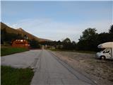
From the motorway Ljubljana - Jesenica, take the exit Lesce and follow the road towards Bled and on to Bohinjska Bistrica. From Bohinjska Bistrica turn left towards Tolmin and Soriška mountain pasture. Soon we will see mountain signs for Črna prst along the road pointing to the right, but we continue straight ahead. Just a little later we come to a crossroads where a signpost points slightly right towards the village of Ravne. Continue past the large parking lot by the Kobla ski slope, and we follow the asphalt road, which begins to climb steeply, to Ravne, where the road is laid. Here we continue until the asphalt ends. Where the asphalt ends is a larger parking lot next to the Janez Inn, where you park on the right side of the parking lot (the parking lot on the left side of the road is for the guests of the Janez Inn).
Path description:
From the parking lot at the Janez Inn, continue in the direction of Črna prst and Orožnove huts, where you initially walk along a macadam road, which opens up a beautiful view of Triglav. After an initial climb, the road turns into the forest and turns slightly to the left, where you quickly arrive at a marked crossroads.
From the crossroads continue left in the direction of Črna prst, mountain pasture for Črna gora and Orožnove huts (straight ahead Bohinjska Bistrica and the old path towards Orožnove hut). The path continues along the right-hand side, passing a private house (formerly the Dr. Janez Mencinger's Mountain Home), and then a little further on joins cart track, which is the route to continue the climb. A little higher, at a crossroads, continue right, and then the path continues through the forest. A little further on, the path leads past a log cabin and a cross, and then you arrive at a marked crossroads, where you continue to the left (Orožnova koča on the right).
The cart track turns into a footpath, which leads us a little higher to a forest road, which we follow to the right. Walk along the road for a few steps and then the signs for Črna prst direct you left onto a steep track. The ascent continues along the initially relatively steep path, which then leads you past man-made canals that were designed to drain water (the canal was built to prevent water from entering the Bohinj tunnel). Higher up, the path completely lays down for a while and then climbs moderately to mountain pasture For Črna gora.
When mountain pasture is reached, the marked path turns left and then follows the canal in a semicircle around mountain pasture. On the other side of mountain pasture, continue left and start a moderate ascent through initially sparse forest. After a few minutes of further walking, the path turns into a forest, which leads to a marked crossroads, where you continue to the right in the direction Črna prst (straight ahead Kobla, Soriška planina, Porezen. . . ).
Higher up, the path makes some long serpentines, and then leads us out of the increasingly sparse forest or belt of scrub to the scree below Rušnim vrh. Here the path lays down transiently, and then on the other side of the scree it begins to climb steeply up the grassy trough below the Home ridge. There is an increased risk of falling rocks in late spring. Higher up, the gully ends and the path crosses a short steep slope where snow may linger until early summer. Above the steep part, join the trail from Orožnove hut, and a few metres higher, climb to the ridge, which is reached at the Čez Suho saddle. Continue right here and, with views of Baška grapa, Bohinj and the highest peaks of Julian Alps, you will climb in a few minutes to the Doma na Črna prst, which is located just a few metres below the summit.
Go around the Zorko Jelinčič House on the left and climb the short steep slope to the summit in a few steps.
Ravne - mountain pasture for Črna gora 1:40, mountain pasture for Črna gora - Čez Suho 1:30, Čez Suho - Črna prst 15 minutes.
Description and figures refer to the situation in 2017 (August).

Pictures:
 1
1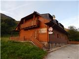 2
2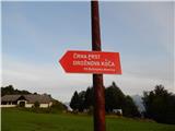 3
3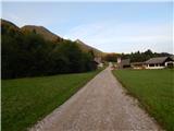 4
4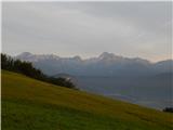 5
5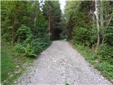 6
6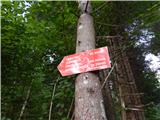 7
7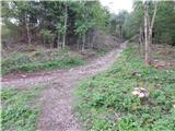 8
8 9
9 10
10 11
11 12
12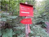 13
13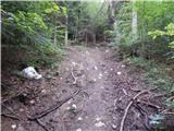 14
14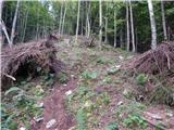 15
15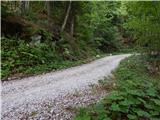 16
16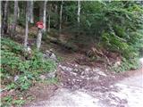 17
17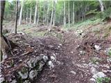 18
18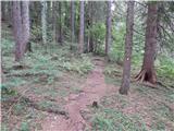 19
19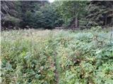 20
20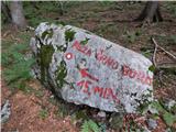 21
21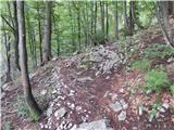 22
22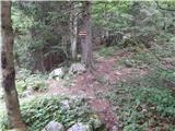 23
23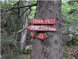 24
24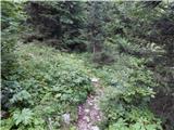 25
25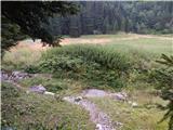 26
26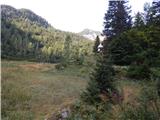 27
27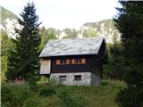 28
28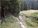 29
29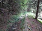 30
30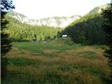 31
31 32
32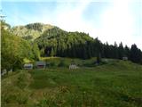 33
33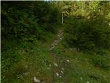 34
34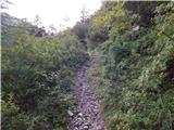 35
35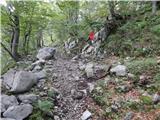 36
36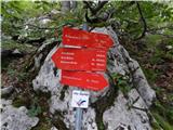 37
37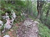 38
38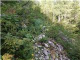 39
39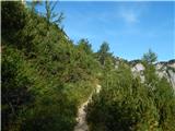 40
40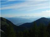 41
41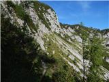 42
42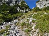 43
43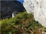 44
44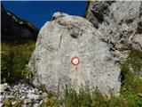 45
45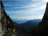 46
46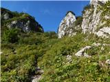 47
47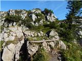 48
48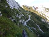 49
49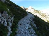 50
50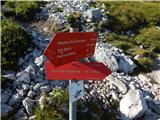 51
51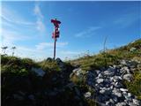 52
52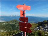 53
53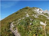 54
54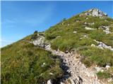 55
55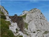 56
56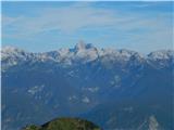 57
57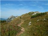 58
58 59
59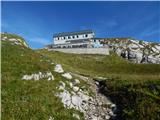 60
60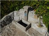 61
61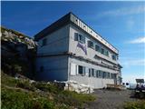 62
62 63
63 64
64 65
65 66
66
Discussion about the trail Ravne - Črna prst (via planina za Črno goro)
|
| Guest16. 05. 2007 |
Pred kakšnimi 3 leti sem bila na tem izletu, takrat smo vsi parkirali pri koči, ni bilo nobene prepovedi ali rampe. Ali je mogoče koča zamenjala lastnika in namen in ne služi več kot izhodišče planincem?
|
|
|
|
| Guest16. 05. 2007 |
Koča je zaprta in namesto rampe je bila lansko leto čez cesto postavljena samokolnica in par desk.Parkira se ob cesti,se kar najde prostor.Škoda je pa ker koča propada in GB ne upravlja tako ,da bi služila svojemu namenu kot pred leti .
|
|
|
|
| Guest18. 05. 2007 |
Tudi sam se opravil lansko leto isto turo in ugotovil, da je koča zaprtas. zato sem se pozanimal i n ugotovil, da je koča prodana in sedaj v rivatni lasti, verjetno sedaj uporabljena za viknd. drugače pa je nova koča pod črno prstjo prijetna.
|
|
|
|
| kr neki16. 05. 2011 |
Kakšne so razmere na tej poti? Hvala 
|
|
|
|
| Matjaz_6530. 07. 2012 |
nekaj fotk s krožne poti na črno prst ... z vzponom preko planine za liscem in sestopom čez planino za črno goro 
|
|
|
|
| roky balboa21. 05. 2014 |
razmere 20.05.2014
do melišča pod Kontnim vrhom brez problema, snega je še veliko, zato obvezno dereze in cepin, pa tudi čelada ni odveč.Do sedla "Čez Suho" moramo prečiti še eno snežišče, ki je zelo strmo, tako da previdno!!! Drugače pa super pot.
|
|
|
|
| tomko11. 11. 2017 |
Ob ugodni vremenski napovedi se odpraviva v te konce in ob markacijah kmalu prideva do snega in prvih umetno urejenih kanalov za vodo in za temi tudi do planine za Črno goro. Tukaj prva pavza in natikanje gamaš, potem pa malo na pamet in ,alo po poti ter iskanje markacij. Pa sva le sledila in malo po spominu prilgazila do razpojta za Koblo in Črno prst,...
Od tu naprej pa gaženje do riti in menjava vsakih 10 minut.
ko sva prišla do žleba-grape pod grebenom Home sem mislil da bova tam v 20 minutah pa se je malo zavleklo. Na vrhu malo pavze , pol pa nprej gaženje do grebena ki pelje na Črno prst. Do vrha nisva šla in sva jo ubrala proti Orožnovi koči do koder je bilo še precej gaženja.
Tam pa topli vampi in pivo , ter povratek v dolino. O urah hoje ne bi- mislim pa da so vse oznake bile dvojne(za naju)
Derez nisva rabila, cepin malo, gamaše so bile prenizke, mokra do j..c, že v ponedeljek pa bo baje vse na novo zameteno.
lep dan
|
|
|
|
| Vladimir197319. 08. 2021 10:37:48 |
Pozdravljeni. Morda kdo ve, če je na planini za Črno goro ali kje v bližnji okolici kak stalen izvir (pitne) vode? Dobrodošle so tudi kakršnekoli informacije glede stanja poti. hvala
|
|
|
|
| sezana119. 08. 2021 12:57:21 |
Na planini za Crno goro je stalen izvir vode, celo majhen potocek tece. Ni ga tezko najti. Nahaja se v blizini nekdanjih pastirskih stanov, sedaj predelanih v vikende.
Prav zaradi tega izvira in potocka je bil v casu gradnje zelezniskega predora pod Koblo zgrajen sistem odvoda vode, da ni pronicala in zalivala predora. Planinska pot iz Bohinjske Bistrice je v redu oznacena in tudi shojena...
|
|
|