Ravne - Frauenkogel/Dovška Baba (by road)
Starting point: Ravne (1200 m)
| Lat/Lon: | 46,4678°N 13,9917°E |
| |
Name of path: by road
Time of walking: 1 h 50 min
Difficulty: easy marked way
Altitude difference: 691 m
Altitude difference po putu: 691 m
Map: Kranjska Gora 1:30.000
Recommended equipment (summer):
Recommended equipment (winter): ice axe, crampons
Views: 23.319
 | 1 person likes this post |
Access to the starting point:
Leave the Gorenjska motorway at the Hrušica exit and follow the road in the route Kranjska Gora, but only as far as the village Dovje near Mojstrana. Turn right here (direction Dovje) and the road will quickly lead you to the mentioned village from where you will continue in the route Frauenkogel. The road will lead you to a crossroads shortly after the village, where you will continue on the right road (sharp left Mittagskogel and Borovje). Continue for some time to the next crossroads, where you turn sharp left in the direction of Frauenkogel (straight ahead Plavški Rovt). Follow this road, which then leads you past the grassy hay meadows called Ravne (a few holiday homes), to a ramp which prohibits further driving. You can park a little further down the road in one of the car parks along the road (from Dovje to the starting point is about 6. 5 km).
Path description:
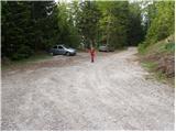
From the parking lot, continue along the road along which you parked. The road, which climbs moderately and takes us past the ramp, then climbs higher and takes us to a small saddle between Bele peči on the left and Frauenkogel on the right. The road turns right here and, after a few further steps, leads to a point where a marked footpath branches off up to the left.
Continue along the road as it crosses the slopes in a moderate ascent to the east. After about an hour's walk from the starting point, the road makes a sharp left turn and, after a further 15 minutes' walk, ascends to the hut at mountain pasture Dovška Rosenbachsattel.
From mountain pasture continue straight up to the north-east along a clearly visible but less well-marked path which begins to climb the increasingly exposed slope of Frauenkogel. The pleasant path, which climbs along the edge of a prominent side ridge, descends higher and turns slightly to the right, where it joins the main ridge of the Karavanke Mountains. Here we see the not-so-compact Frauenkogel peak in front of us, which we reach after less than 5 minutes of further walking.
Starting point - mountain pasture Dovška Rosenbachsattel 1:15, mountain pasture Dovška Rosenbachsattel - Frauenkogel 35 minutes.

Pictures:
 1
1 2
2 3
3 4
4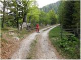 5
5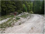 6
6 7
7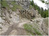 8
8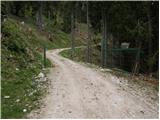 9
9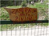 10
10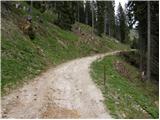 11
11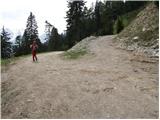 12
12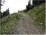 13
13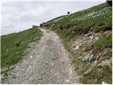 14
14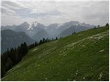 15
15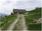 16
16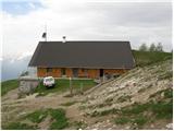 17
17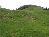 18
18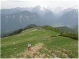 19
19 20
20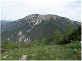 21
21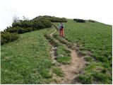 22
22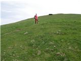 23
23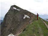 24
24 25
25
Discussion about the trail Ravne - Frauenkogel/Dovška Baba (by road)
|
| andrej jerina22. 12. 2008 |
Danes smo se Iztok, Janez in jaz s smučmi odpravili po cesti na Dovško babo. Razmere na poti so v redu, kar nekaj sledi pešakov je videti. Na sami cesti sta podrti dve smreki, kar pa ne predstavlja kakšne ovire. Razmere na vrhu zelo lepe, sončno in rahlo vetrovno vreme. Smuka po grebenu proti planini Rožca in v spodnjem delu ceste zelo lepa, malce težja pa v srednjem delu. LP Andrej
|
|
|
|
| katty1. 08. 2011 |
Živjo. V nedeljo,31.7.2011 sem prvič bila na Dovški babi.Avto smo pustili pred rampo, kjer lahko vožnjo z avtomobilom nadaljuje samo oskrbnik koče ali pa lastnik živine, ki se v tem poletnem času pase na Planini Dovška rožca  Ubrali smo jo kar po makadamski cesti, po kateri je bilo res super hodit. Med potjo smo lahko občudovali okoliške hribe z Triglavom na čelu, saj je razgled resnično neprecenljiv  Od Planine potrebujemo še kake pol urce do vrha, ki meji z Avstrijo in iz katerega se resnično lepo vidi na Vrbsko jezero in reko Dravo. Pa ne boste verjeli, na Vrbskem jezeru so se še jadrnice vidle    Vrh je bil meni do sedaj popolnoma neznan, vendar sem bila nad njim kar navdušena. Med pohodniki pa Dovška baba najbrž ni zelo poznana, saj sem med potjo (gor in dol)srečala okrog 15ljudi. Res, milina  Skratka, bilo je super. Pozdravček, Katy
|
|
|