Razdrto - Vojkova koča na Nanosu (Janez way)
Starting point: Razdrto (575 m)
| Lat/Lon: | 45,7591°N 14,0619°E |
| |
Name of path: Janez way
Time of walking: 2 h
Difficulty: easy unmarked way
Altitude difference: 665 m
Altitude difference po putu: 665 m
Map: Nanos 1:50.000
Recommended equipment (summer): helmet
Recommended equipment (winter): helmet, ice axe, crampons
Views: 20.319
 | 3 people like this post |
Access to the starting point:
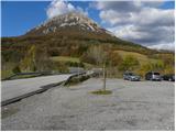
From the motorway Ljubljana - Koper or Ljubljana - Nova Gorica take the exit Razdrto. Follow the road to the village Razdrto and then in the centre of the village continue towards the villages Strane and Veliko Ubeljsko. Just above the village you will come to a large parking lot.
Path description:
From the parking lot, cross the bridge over the motorway, then turn left at the junction in the direction of Vojkova hut and Abram. After walking for some 10 steps on the macadam road, the signs for Nanos direct you to the right onto a moderately steep footpath which begins to climb over a grassy slope. After a short climb, the path passes into lane of bushes, which turns into wodland higher up. The path then turns slightly to the left and leads to a marked crossroads, where it continues to the right in the direction of 'Nanos - steep path'. Continue climbing moderately for some time, then the path gradually starts to climb steeper and steeper. Higher up, we see an interesting verse, but we follow the marked path for only a few more minutes, to a nearby unmarked viewpoint. At the "lokout" point, the waymarked trail turns sharp right, and we continue straight ahead on a much narrower but well-traced hunting trail. The hunting trail crosses relatively steep slopes in a gentle ascent, and then, after about 15 minutes' walk from the place where we left the marked trail, it leads us to an unmarked but clearly visible crossroads.
Here we continue to the right and continue our ascent along the rather steep so-called Janez's path. The steep path, which climbs almost straight up over the slope, soon leads out of the forest, where it climbs even steeper. The ascent continues along a well-traced and very steep path which climbs over the slopes of Rebrnice. The path, which is exposed to falling stones due to the considerable steepness of the slope (although the path runs along a grassy slope, so there are not many stones, but game or anyone else can trigger the stones), leads us after about 30 minutes of steep ascent to the edge of the Nanoše Plateau, where it is laid. Here we take a sharp right and continue our ascent along a wide path leading us towards the transmitters on Nanos. Just before the transmitters, the path turns to the left, descends into the lane of a forest and then, passing the monument to Janko Premrl Vojko, leads us to Vojko's hut on Nanos.

Pictures:
 1
1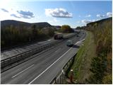 2
2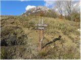 3
3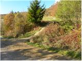 4
4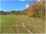 5
5 6
6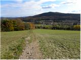 7
7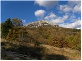 8
8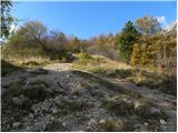 9
9 10
10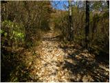 11
11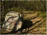 12
12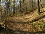 13
13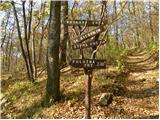 14
14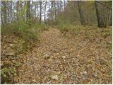 15
15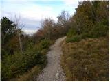 16
16 17
17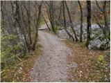 18
18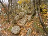 19
19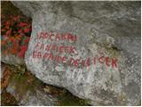 20
20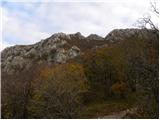 21
21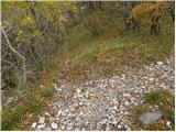 22
22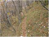 23
23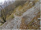 24
24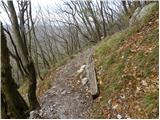 25
25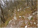 26
26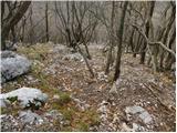 27
27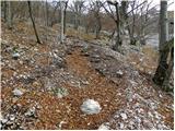 28
28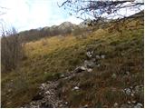 29
29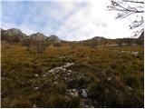 30
30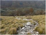 31
31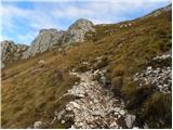 32
32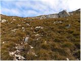 33
33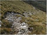 34
34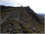 35
35 36
36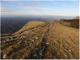 37
37 38
38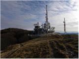 39
39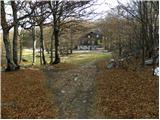 40
40 41
41
Discussion about the trail Razdrto - Vojkova koča na Nanosu (Janez way)
|
| nejkica1. 05. 2012 |
Na začetku je lepa gozdnata pot, ki potem prehaja v kamnit del. Zadnji dober kilometer pa preide v travnat malo bolj strm predel. Pri pohodu uživaš saj je narava raznolika na vsakem koraku. Pot priporočam saj imam dobre izkušnje, toda je pot v slabih vremenskih razmerah ni priporočljiva. na poti sem uživala in jo toplo priporočam 
|
|
|
|
| Darxta18. 06. 2012 |
OPOZORILO:
V soboto smo šli gor, super vreme, ampak ko smo se vrnili na parkirišče, je imel sosednji avto razbito steklo.
Parkirišče je najbrž zelo privlačno za razne vlomilce, tako da priporočam da ne puščate na vidnih mestih nič vrednega oz. vse spravite v prtljažnik, šipe pa popolnoma zaprete. Bolje je imeti 10 stopinj bolj vroč avto in malce dlje počakati da se prezrači, kot pa da tvegate vlom.
LP
|
|
|