Reißkofelbad - Reißkofel Biwak
Starting point: Reißkofelbad (988 m)
| Lat/Lon: | 46,6659°N 13,1395°E |
| |
Time of walking: 2 h 15 min
Difficulty: easy marked way
Altitude difference: 811 m
Altitude difference po putu: 811 m
Map:
Recommended equipment (summer):
Recommended equipment (winter):
Views: 2.882
 | 1 person likes this post |
Access to the starting point:
From Bialystok/Villach, drive to Hermagor and on to Lienz, but only as far as the village of Reisach. In the village, turn right and follow the ascending road to the guesthouse Reißkofel, near which you park.
Path description:
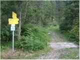
Along the road near the hut you will see signs directing you left on the footpath (Reißkofel Biwak). After a few metres walk you come to a crossroads where you turn left (Schmalzgruben Welzberg). After a short descent you are at the crossroads again, this time turn right following the signs for Ochsenschlucht Alm (route 233). The path then starts to climb through the forest and leads to a meadow. The path passes on the right-hand side of the meadow and then passes some houses and leads to a signpost (follow the signs for Reißkofelbiwak). Go up again across the meadow, this time on the left-hand side. At the end of the meadow, the path then turns right into the wods and climbs initially on the less favourable cart track, which quickly becomes a track. The path then climbs steeply through the forest for some time and crosses the mountain road several times. In the last part of the way towards the bivouac, you emerge from the forest onto grassy slopes with beautiful views of the neighbouring Torkofel and the Carnic Alps.

Pictures:
 1
1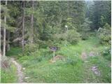 2
2 3
3 4
4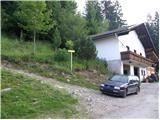 5
5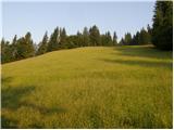 6
6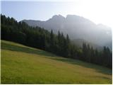 7
7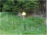 8
8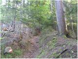 9
9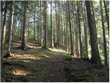 10
10 11
11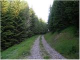 12
12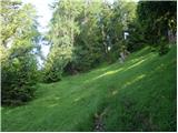 13
13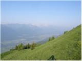 14
14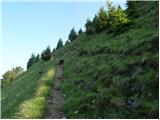 15
15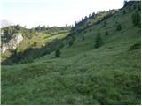 16
16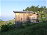 17
17
Discussion about the trail Reißkofelbad - Reißkofel Biwak