Repna dolina - Javornik above Črni vrh
Starting point: Repna dolina (877 m)
| Lat/Lon: | 45,8625°N 14,0992°E |
| |
Time of walking: 1 h 45 min
Difficulty: easy marked way
Altitude difference: 363 m
Altitude difference po putu: 370 m
Map: Nanos 1:50.000
Recommended equipment (summer):
Recommended equipment (winter):
Views: 10.833
 | 1 person likes this post |
Access to the starting point:
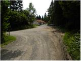
From Logatec, drive towards Idrija. Just after the village Kalce you will see a road heading left towards the villages Podkraj and Col. Take this rather winding road and follow it to the Stara pošta guesthouse (next to the guesthouse is the archaeological site of Ad Pirum, Hrušica) and a little further on, to a crossroads where the road to Javornik branches off to the right (the branch is marked). The road soon loses its asphalt surface and we park in a suitable place near the sign "Forest road - use at own risk".
From Primorska, we first take Col, and then continue driving towards the village Podkraj. A few km after Podkraj, but before the Stara pošta guesthouse, you will see a road turning sharp left (towards Javornik). Continue following the above description.
Path description:
From the starting point, follow the macadam road, along which you will see signs for Javornik. The road first climbs gently to moderately on the left side of the Repna valley, then climbs steeply and turns quite steeply to the left at a higher altitude, where it completely flattens out, or occasionally there are even slight drops. After a short descent, we reach a marked crossroads where the path from the village Podkraj joins us on the left, and we continue straight on towards Javornik. The road continues to climb for some time through the forest, then it flattens out and leads us to a scenic slope. The path then crosses a short lane of forest and leads us to a small crossroads where the road to the right branches off towards the Javornik Ski Hut. We continue along the lower road on the left, which quickly leads to an abandoned house. Just in front of the house, mountain signs direct us to the right to a footpath, which will take us up in a few minutes to Pirnatova hut on Javornik.
From the hut, walk to the nearby direction signs and then follow the path towards Javornik and the tower. After a walk of a few dozen metres, the path enters the forest and climbs moderately. Once out of the forest, cross a short scenic slope, and then just below the summit, the trail goes back into the forest. There is a slight climb through the forest and the path leads to the top of the lookout tower. If you want a view, climb to the top of the tower at your own risk, which gives you a beautiful view.

Pictures:
 1
1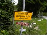 2
2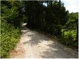 3
3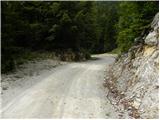 4
4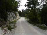 5
5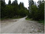 6
6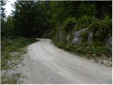 7
7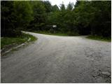 8
8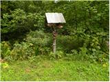 9
9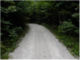 10
10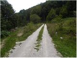 11
11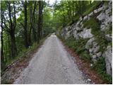 12
12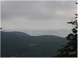 13
13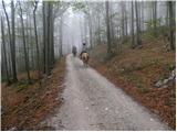 14
14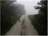 15
15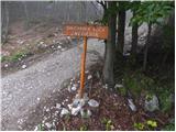 16
16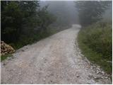 17
17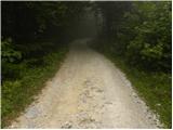 18
18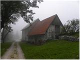 19
19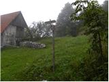 20
20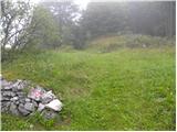 21
21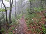 22
22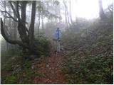 23
23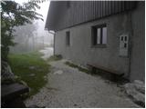 24
24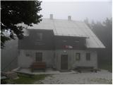 25
25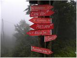 26
26 27
27 28
28 29
29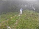 30
30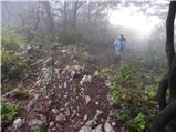 31
31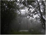 32
32
Discussion about the trail Repna dolina - Javornik above Črni vrh
|
| D0men13. 09. 2022 12:33:11 |
Stolp na vrhu ni več izpraven in je zaprt. Je potrebna nova konstrukcija. 
|
|
|