Ribenski most - Tolsti vrh (Talež)
Starting point: Ribenski most (421 m)
| Lat/Lon: | 46,3445°N 14,1241°E |
| |
Time of walking: 1 h 15 min
Difficulty: easy unmarked way
Altitude difference: 462 m
Altitude difference po putu: 462 m
Map: Karavanke - osrednji del 1:50.000
Recommended equipment (summer):
Recommended equipment (winter): ice axe, crampons
Views: 18.439
 | 1 person likes this post |
Access to the starting point:
From the Ljubljana - Jesenice motorway, take the Lesce exit and then continue to Bled. At Bled, signs for the village Ribno direct us to the left, and we follow a slightly narrower road to Ribno. Here you will see signs for Talež, which will direct you right down the Savsko Road, which will take you down to the parking lot in front of the Ribno Bridge.
Path description:
From the parking lot, first walk to the Ribena Bridge, cross it and on the other side of the Sava Bohinjka continue right towards Talež and the village Kupljenik (Talež and Bodešče on the left). Continue along the road for a while, then the signs for Talež direct you left onto an initially winding path that begins to climb through the forest. Initially still a gently sloping path, it quickly begins to climb steeper and leads us on over relatively steep and, especially in snow and ice, dangerous slopes for slipping (in land, the path does not present any problems). Higher up, the path is laid and only slightly higher up it joins a dirt track, which quickly leads to the NOB monument, a bench and a chapel. Here, continue right and, just 10 m further on, join a wider macadam road, which ascends in a steady climb, passing a few weekend cottages, to reach Hunting cottage Talež in a few minutes, from which a fine view of Karawanks and the villages around Bled opens up.
At the hunting lodge, the otherwise rare markings end, and we continue along the macadam road, which bypasses the hunting lodge at Talež on the left. After a few minutes, the road turns into a track, which turns into an unmarked forest path a little higher up. The path leads us slightly higher to a small, undistinguished ridge, which is reached just at a small pass. Here we continue to the right and follow the path, along which we notice some unofficial markings (some arrows and abbreviations on trees) to the 883 m high Tolsti vrh, which we reach after a few minutes' climb (the summit is identified by a small concrete pillar).

Pictures:
 1
1 2
2 3
3 4
4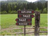 5
5 6
6 7
7 8
8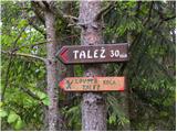 9
9 10
10 11
11 12
12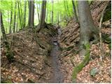 13
13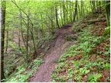 14
14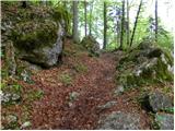 15
15 16
16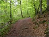 17
17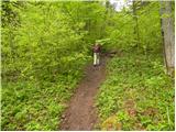 18
18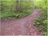 19
19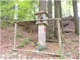 20
20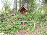 21
21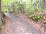 22
22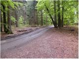 23
23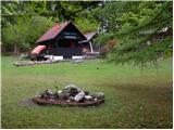 24
24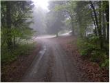 25
25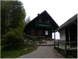 26
26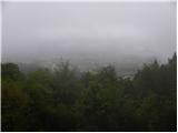 27
27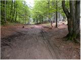 28
28 29
29 30
30 31
31 32
32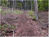 33
33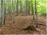 34
34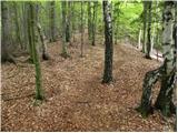 35
35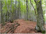 36
36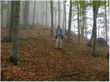 37
37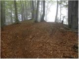 38
38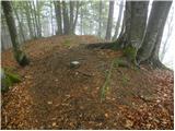 39
39
Discussion about the trail Ribenski most - Tolsti vrh (Talež)