Rifugio Auronzo - Lastron dei Scarperi / Schusterplatte
Starting point: Rifugio Auronzo (2320 m)
| Lat/Lon: | 46,6122°N 12,2941°E |
| |
Time of walking: 4 h 10 min
Difficulty: difficult pathless terrain
Altitude difference: 637 m
Altitude difference po putu: 800 m
Map: Tabacco 10 1:25.000
Recommended equipment (summer): helmet
Recommended equipment (winter): helmet, ice axe, crampons
Views: 1.510
 | 4 people like this post |
Access to the starting point:
Access from Gorenjska: Take the Border crossing Rateče road to Trbiž / Tarvisio, where you take the motorway towards Udine. Leave the motorway at the exit for Tolmezzo and follow the road to the above-mentioned place. From Tolmezzo, continue in the direction of Ampezzo and the Passo della Mauria mountain pass. The road then begins to descend and leads into the Cadore valley, where you continue to the right (Belluno and Cortina d'Ampezzo on the left) in the direction of Auronzo. After a few more km of driving, we reach the next major crossroads, where we turn right towards the Misurina Pass and Tre Cin / Tre Cime (left Tre Crocci Pass). From the Misurina Pass, the road starts to descend and quickly brings us to a crossroads where the signs for Tri Cine / Tre Cime direct us right onto a toll mountain road, which, after 7km, brings us to a large parking lot near the rifugio Auronzo hut.
From the seaside: Take the motorway towards Venice/Venezia. At Portogruaro, leave the motorway towards Venice and turn right on the motorway towards Pordenone. At the next motorway junction near Conegliano, turn right towards Belluno. Near Belluno the motorway ends and we continue towards Cortina d'Ampezzo and Auronzo. When the road enters the Cadore valley, you will come to a large junction where the road towards Cortina d'Ampezzo goes left and the road towards Auronzo goes right. Here we continue to the right towards Auronzo. Continue as described above.
Path description:
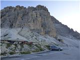
At the Auronzo hut, take the macadam road slightly east towards the Lavaredo hut. A very scenic, sloping road leads under the mighty walls of the Three Cinna. The 1104 trail soon branches off to the right down into the Val Marzon valley, and we continue along the wide and sloping path, which then leads us past the Chapel of Maria Ausiliatrice. The path then turns slightly to the left and we soon reach the Lavaredo hut, located on the eastern side of the Three Cin.
A few metres before the hut, you can turn left onto a footpath which continues cross-climbing on the scree below the Tre Cini. Alternatively, from the hut you can continue along a wide path, which is also used by the vehicles that service the Locatelli hut. The two paths then rejoin at the Forcella Lavaredo notch
At the notch a less marked path branches off to the right up towards Monte Paterno, and we continue on the wide path towards the Locatelli hut, which can already be seen. From the notch we start to descend gently until we reach a crossroads just in front of the hut. At this crossroads, a path branches off to the left towards hut Langalm Hütte and the valley towards Lago di Landro. We continue to the right here and there is only a short climb to the Locatelli hut.
From the hut, continue north along route 102, which begins to descend gently. The path takes you past a cross with a small bench and a table. Just beyond the cross, we come to a crossroads. Bear left after the 'Lastron dei Scarperi' signs. The path then crosses the mainly grassy slopes on the eastern side of Torre di Toblin and leads to Forcella di San Candido on the north-eastern side of the summit.
At the notch, a signpost points to the right and the ascent continues, crossing the slopes on the right south side of the ridge. The path then soon turns to the left and leads to a small notch. Here we continue to the north side along a path which crosses a rather steep and crumbly slope in the descent. Some caution is also needed here. The path continues up the valley on the west side of the summit of Crodon di San Candido. The path is reasonably well trodden and is helped by the cairns and some faded markings. Here we initially climb on scree and then there is a slightly steeper rocky section where the climbing does not go beyond the first pitch. After the rock section there is another climb on scree which leads to an unmarked crossroads.
At the crossroads, turn left and the path to the right leads to the summit of Crodon di San Candido. We continue to climb the scree and just before we reach the ridge the path leads us to the entrance to the ravine through which there is a passage to the top slope of the mountain.
A helmet is essential when climbing through the ravine, as there is a lot of rubble on the path. For some time we continue to climb up the ravine, but when the ravine becomes very narrow, cairns direct us up to the left. The first few metres out of the gully are a little steeper and a little more caution is needed. The path then leads us above the ravine and just before the notch turns sharply to the left. The path becomes slightly less steep and leads us to the south side of the summit. Here you continue slightly to the right and soon reach the ridge. After a scenic and easy ridge, you will soon reach the summit.
Descend along the ascent route.

Pictures:
 1
1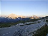 2
2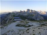 3
3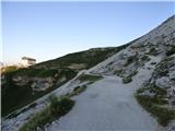 4
4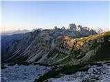 5
5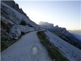 6
6 7
7 8
8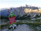 9
9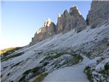 10
10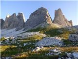 11
11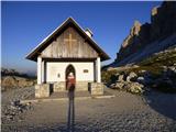 12
12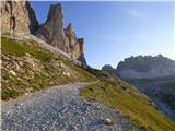 13
13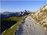 14
14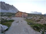 15
15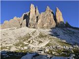 16
16 17
17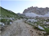 18
18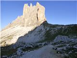 19
19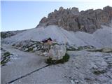 20
20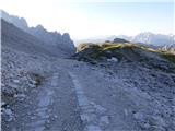 21
21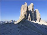 22
22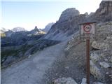 23
23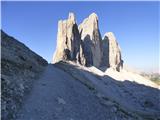 24
24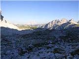 25
25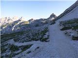 26
26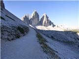 27
27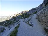 28
28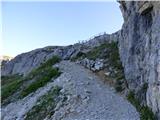 29
29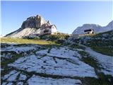 30
30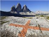 31
31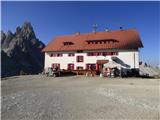 32
32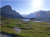 33
33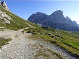 34
34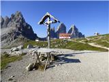 35
35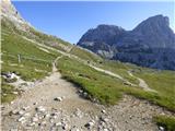 36
36 37
37 38
38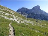 39
39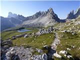 40
40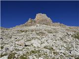 41
41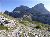 42
42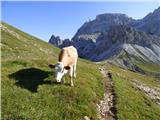 43
43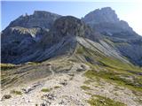 44
44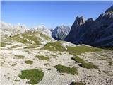 45
45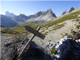 46
46 47
47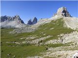 48
48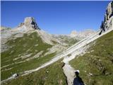 49
49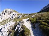 50
50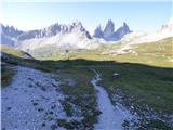 51
51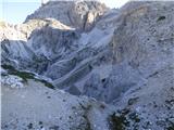 52
52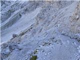 53
53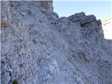 54
54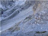 55
55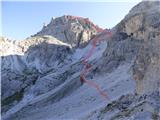 56
56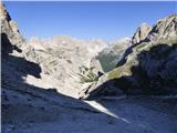 57
57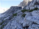 58
58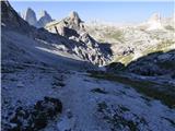 59
59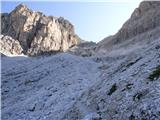 60
60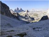 61
61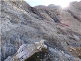 62
62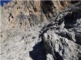 63
63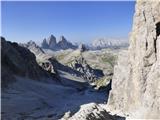 64
64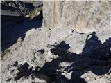 65
65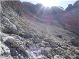 66
66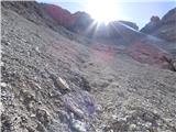 67
67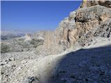 68
68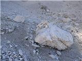 69
69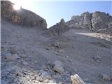 70
70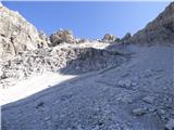 71
71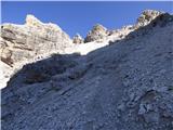 72
72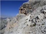 73
73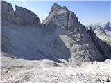 74
74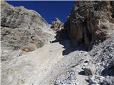 75
75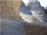 76
76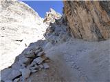 77
77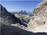 78
78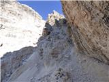 79
79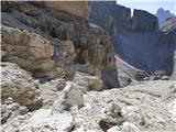 80
80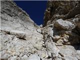 81
81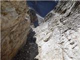 82
82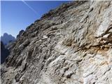 83
83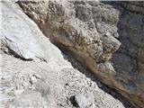 84
84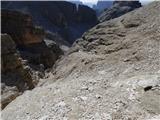 85
85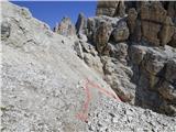 86
86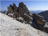 87
87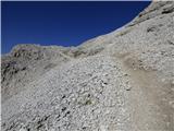 88
88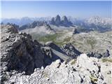 89
89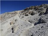 90
90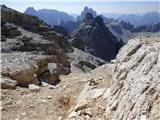 91
91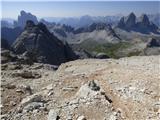 92
92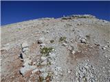 93
93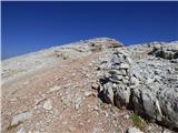 94
94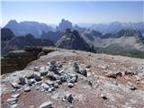 95
95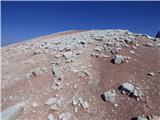 96
96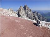 97
97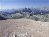 98
98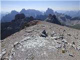 99
99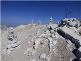 100
100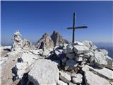 101
101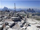 102
102 103
103 104
104 105
105 106
106
Discussion about the trail Rifugio Auronzo - Lastron dei Scarperi / Schusterplatte
|
| mirank13. 09. 2017 |
Zelo razgleden vrh; dostop orientacijsko ni zahteven, pa tudi tehnično ni nek baubau. Vkolikor se odločite za vzpon priporočam še skok na sosednji Crodon di S Candido-vse lepo vidno na sl 74. Ta je malenkost zahtevnejši a še to le od lepo vidne škrbine gor. Večino prehodov tam velja iskati v desno (naj vas ne zavedejo žice iz 1. vojne). Ta dodatek podaljša zadevo za manj kot uro....
|
|
|
|
| mirank11. 11. 2021 09:34:27 |
V opisu dostopa bi veljalo spremeniti to, da se do Auronza najlepše in najhitreje pride preko Sappade.
Tista cesta preko Fornija in prelaza Mauria je slabša in bolj dolgočasna, pa še daljša je.
|
|
|
|
| felix11. 11. 2021 16:57:25 |
Za Štajerce je najhitreje preko Avstrije do Lienza in po dravski dolini v Italijo - mogoče tudi za Gorenjce.
|
|
|
|
| mirank11. 11. 2021 18:07:20 |
¸Jaz sem komentiral samo zgornji opis z dostopom preko kraja Auronzo!  Če dostopaš prek Lienza tam nimaš kaj iskati, ker je direktni dostop iz Toblacha na Misurino.
|
|
|