Rifugio Auronzo - Monte Paterno
Starting point: Rifugio Auronzo (2320 m)
| Lat/Lon: | 46,6122°N 12,2941°E |
| |
Time of walking: 1 h 40 min
Difficulty: very difficult marked way
Altitude difference: 424 m
Altitude difference po putu: 450 m
Map: Tabacco 10 1:25.000
Recommended equipment (summer): helmet, self belay set, lamp
Recommended equipment (winter): helmet, self belay set, ice axe, crampons, lamp
Views: 6.855
 | 3 people like this post |
Access to the starting point:
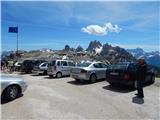
Access from Gorenjska: Take the Border crossing Rateče road to Trbiž / Tarvisio, where you take the motorway towards Udine. Leave the motorway at the exit for Tolmezzo and follow the road to the above-mentioned place. From Tolmezzo, continue in the direction of Ampezzo and the Passo della Mauria mountain pass. The road then begins to descend and leads into the Cadore valley, where you continue to the right (Belluno and Cortina d'Ampezzo on the left) in the direction of Auronzo. After a few more km of driving, we reach the next major crossroads, where we turn right towards the Misurina Pass and Tre Cin / Tre Cime (left Tre Crocci Pass). From the Misurina Pass, the road starts to descend and quickly brings us to a crossroads where the signs for Tri Cine / Tre Cime direct us right onto a toll mountain road, which, after 7km, brings us to a large parking lot near the rifugio Auronzo hut.
From the Primorska side: Take the motorway towards Venice/Venezia. At Portogruaro we leave the motorway towards Venice and continue right on the motorway towards Pordenone. At the next motorway junction near Conegliano, turn right towards Belluno. Near Belluno the motorway ends and we continue towards Cortina d'Ampezzo and Auronzo. When the road enters the Cadore valley, you will come to a large junction where the road towards Cortina d'Ampezzo goes left and the road towards Auronzo goes right. Here we continue to the right towards Auronzo. Continue as described above.
Path description:
At the Auronzo hut, take the dirt road leading slightly east towards the Lavaredo hut. After about 20 minutes' walk along a very scenic road that leads under the mighty walls of the Three Cinquefoils, you will reach the Lavaredo hut.
Shortly before the hut, where there is a crossroads, turn left onto the footpath and follow the signs. The path here ascends crosswise over the scree below the slopes of the Three Cin Mountains and leads to the Forcella Lavaredo notch, where it rejoins the broad, sloping path leading to the Locatelli hut.
Leave the wide path at the notch immediately and head right up (eastwards) on the path towards Monte Paterno. The relatively poorly marked path ascends towards the base of Croda Passaporto and leads to the entrance to the military tunnel.
Here you should equip yourself with a helmet and a self-protection kit, but you will also need a torch. The path then leads through the tunnel, which is quite low, to the precipitous ledges with a magnificent view of the Three Cines. After crossing the ledges on the western side of the mountain, the path leads us back to the tunnel through which we reach the eastern side. Here, too, we cross the steep slopes to the north for a while, and then the path leads us to slightly less steep slopes. The path then turns slightly to the left and starts to climb steeply. We then climb up the gully to the Forcella del Camoscio notch where we join the protected paths from the north and east.
At the notch, turn left and climb the almost vertical wall with the help of ropes. This part of the route is short but challenging and it is therefore highly recommended to use self-propulsion. The route then becomes less demanding and, via some beautiful passages along the top slope of the mountain, you soon reach a very scenic summit.

Pictures:
 1
1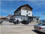 2
2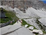 3
3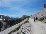 4
4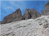 5
5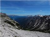 6
6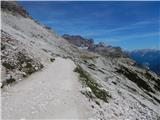 7
7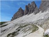 8
8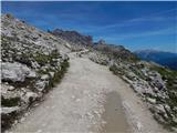 9
9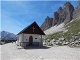 10
10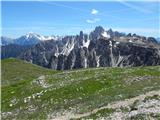 11
11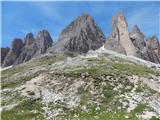 12
12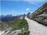 13
13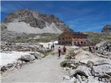 14
14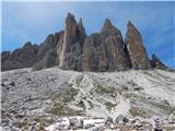 15
15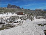 16
16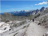 17
17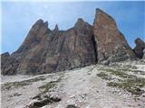 18
18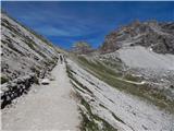 19
19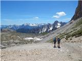 20
20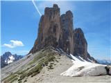 21
21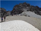 22
22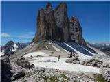 23
23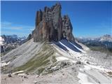 24
24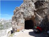 25
25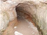 26
26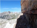 27
27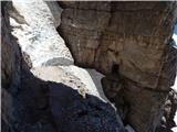 28
28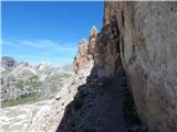 29
29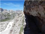 30
30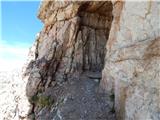 31
31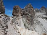 32
32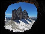 33
33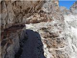 34
34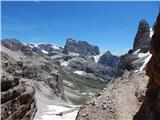 35
35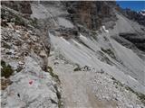 36
36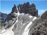 37
37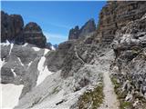 38
38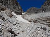 39
39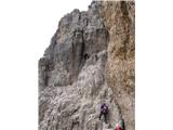 40
40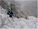 41
41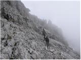 42
42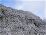 43
43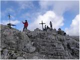 44
44 45
45
Discussion about the trail Rifugio Auronzo - Monte Paterno
|
| veja512. 08. 2017 |
Kako dolgo se hodi od koče Aurunzo do škrbine Lavaredo? In koliko je še potem do vrha, po zgoraj opisanih poti?
Lep pozdrav. Venčeslav.
|
|
|
|
| mirank12. 08. 2017 |
Kake pol ure, mogoče malo več, če hodite res počasi...
|
|
|
|
| primozg12. 08. 2017 |
Do prvega predora je slabe pol ure. Na vrh pa smo hodili v skupini (skupno) slabi dve uri in pol.
|
|
|
|
| veja515. 08. 2017 |
V nedeljo, 13.08. sva z ženo prehodila to pot. Zgornje informacije, o času hoje, so nama pomagale, hvala lepa za njih.
Vreme in razgledi so bili čudoviti. Pot po policah je bila zanimiva. Preko navpične stene pa se je bilo potrebno kar pomučiti. Nagrada pa je sledila: lep vrh in nepozabni razgled.
Presenečena sva bila tudi nad čistočo sobe in WC-jev v koči Auronzo.
Pozdrav! Venčeslav.
|
|
|