Rifugio Auronzo - Monte Paterno (Ferrata De Luca-Innerkofler)
Starting point: Rifugio Auronzo (2320 m)
| Lat/Lon: | 46,6122°N 12,2941°E |
| |
Name of path: Ferrata De Luca-Innerkofler
Time of walking: 1 h 50 min
Difficulty: very difficult marked way
Altitude difference: 424 m
Altitude difference po putu: 480 m
Map: Tabacco 10 1:25.000
Recommended equipment (summer): helmet, self belay set, lamp
Recommended equipment (winter): helmet, self belay set, ice axe, crampons, lamp
Views: 29.718
 | 3 people like this post |
Access to the starting point:
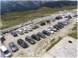
Access from Gorenjska: Via Border crossing Rateče drive to Trbiž / Tarvisio, where you take the motorway towards Udine. Leave the motorway at the exit for Tolmezzo and follow the road to the above-mentioned place. From Tolmezzo, continue in the direction of Ampezzo and the Passo della Mauria mountain pass. The road then begins to descend and leads into the Cadore valley, where you continue to the right (Belluno and Cortina d'Ampezzo on the left) in the direction of Auronzo. After a few more km of driving, we reach the next major crossroads, where we turn right towards the Misurina Pass and Tre Cin / Tre Cime (left Tre Crocci Pass). From the Misurina Pass, the road starts to descend and quickly brings us to a crossroads where signs for Tri Cine / Tre Cime direct us right onto a toll mountain road, which, after 7km, brings us to a large parking lot near the rifugio Auronzo hut.
From the Primorska side: Take the motorway towards Venice/Venezia. At Portogruaro we leave the motorway towards Venice and continue right on the motorway towards Pordenone. At the next motorway junction near Conegliano, turn right towards Belluno. Near Belluno the motorway ends and we continue towards Cortina d'Ampezzo and Auronzo. As the road enters the Cadore valley, you will come to a large junction where the road towards Cortina d'Ampezzo goes left and the road towards Auronzo goes right. Here we continue to the right towards Auronzo. Continue as described above.
Path description:
At the Auronzo hut, take the macadam road leading slightly east towards the Lavaredo hut. After about 20 minutes' walk along a very scenic road that leads under the mighty walls of the Three Cinquefoils, you will reach the Lavaredo hut.
From the hut, continue slightly to the left and start climbing up the scree towards the notch (Forcella Lavaredo) between Monte Paterno and the Three Cinas. At the notch where the trail crossroads are, take the wide trail which starts to descend slightly northwards from the notch. To the right, there is a path leading to Monte Paterno from the south side and path 104, which starts descending to the east. The descent to the Locatelli hut can be either via the lower wide path or the slightly more difficult upper path, which crosses the slopes below the western face of Monte Paterno. At the hut from where you have a very nice view of the Monte Paterno and the Tri Cine, the two paths merge again.
From the hut, continue sharp right and start climbing up the north ridge of Monte Paterno. Soon we enter a tunnel dating back to the First World War. You will need a torch to climb through the tunnel, which is more than 500 metres long. Occasionally, the windows of the tunnel will also give you a wonderful view of the Trem Cino and the Laghi dei Piani lakes. From the tunnel we will then reach the eastern slopes of the mountain and soon enter the climbing part of the route. The route climbs steeply up to the right at first, then turns left and follows a well-protected path up to the Forcella del Camoscio. At the notch, where our route joins the other two, bear right. Use the ropes to climb over the almost vertical wall. This part of the route is short but challenging and it is therefore highly recommended to use self-belaying equipment. The route then becomes less difficult and, via some beautiful passages along the top slope of the mountain, you soon reach a very scenic summit.

Pictures:
 1
1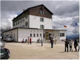 2
2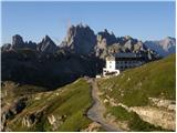 3
3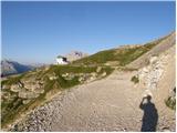 4
4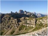 5
5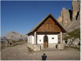 6
6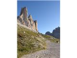 7
7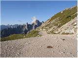 8
8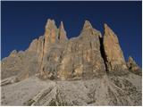 9
9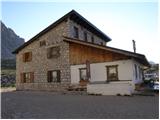 10
10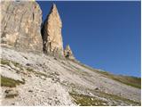 11
11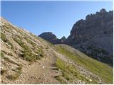 12
12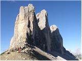 13
13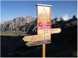 14
14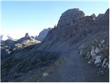 15
15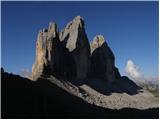 16
16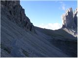 17
17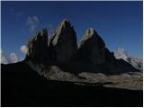 18
18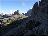 19
19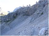 20
20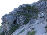 21
21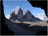 22
22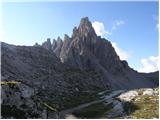 23
23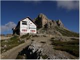 24
24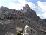 25
25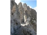 26
26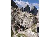 27
27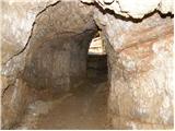 28
28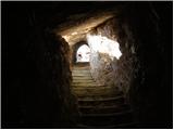 29
29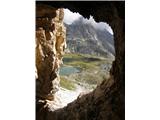 30
30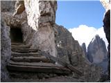 31
31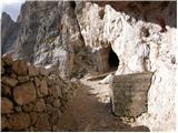 32
32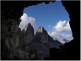 33
33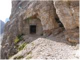 34
34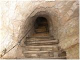 35
35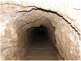 36
36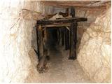 37
37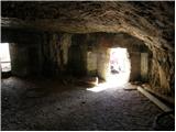 38
38 39
39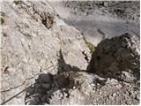 40
40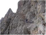 41
41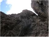 42
42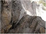 43
43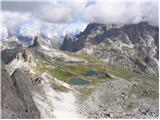 44
44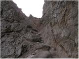 45
45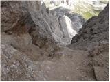 46
46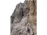 47
47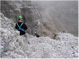 48
48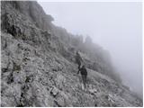 49
49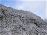 50
50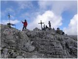 51
51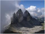 52
52
Discussion about the trail Rifugio Auronzo - Monte Paterno (Ferrata De Luca-Innerkofler)
|
| Benjamin3. 09. 2008 |
Zanima me, koliko časa traja vožnja iz Ljubljane do Rifugio Auronzo? Hvala.
|
|
|
|
| benjamin73. 09. 2008 |
Najlepša hvala. Morda še kakšno priporočilo krožne ture na tej lokaciji, najprimernejšem letnem času?
|
|
|
|
| Rok3. 09. 2008 |
Do škrbine 100 metrov pod vrhom vodijo tri poti. Zgoraj opisana pot po severnem grebenu, pot po vzhodnem grebenu in po južnem grebenu. Večina jih naredi krožno pot preko južnega in severnega grebena. Na vzhodnem grebenu pa je zato malo manj gneče.
|
|
|
|
| benjamin73. 09. 2008 |
Torej po južnem grebenu gor, po severnem pa dol? Najlepša hvala.
|
|
|
|
| augustus332. 11. 2009 |
Pot je po opisu zelo kratka. Je komplet za samovarovanje nujen oziroma res zelo priporočljiv?
Ali lahko morda vzamem s seboj dvanajstletnika: klinov in podobnega je kar vajen?
|
|
|
|
| triglavski2. 11. 2009 |
Google najde vse, le nekaj klikov je potrebnih, nekaj o M. Paternu je opisano tudi tukaj: http://www.pzs.si/forum/viewtopic.php?t=4271 Glede samovarovalnega kompleta bi moral vsak presoditi sam, je težko kar določiti. Včasih je lako kritičnih le nekaj metrov in nam varovanje dvigne samozavest oz. dober občutek. Kot sem videl se je večina varovala, tudi veliko otrok je bilo. Gre pač za zelo obiskan vrh.
|
|
|
|
| Bric13. 08. 2018 |
Pot sva prehodila/preplezala z 12 letnim sinom...zelo dobro zavarovana ferata
|
|
|
|
| Bric13. 08. 2018 |
Pot sva preplezala/prehodila z 12 letnim sinom. zelo dobro zavarovana ferata.velika guzva.Ferata se začne pri rif.auronzo in gre do r.locateli..se vleče, nato sledi strm vzpon skozi kaverne (cca. 0,5 km).nujna svetilka.Nato se začne ferata.Prvi del brez porblemov,nato pa zahtevnejši (plezanje po navpični steni).Zelo lepo poskrbljeno, navzgor po eni poti, navzdol po drugi(ni čakanja, srečevanja)..nato vrh (nori in fantastični razgledi)...navzdol po isti poti (spust po navpični steni, in dalje...).Za celotno pot smo potrebovali 4,5 ure.
|
|
|
|
| darinka415. 08. 2018 |
Danes smo šli po tej ferati. Bila nas je kar velika skupina 25. Vreme nam je odlično služilo. Pot oziroma ferata je krasno speljana. Vsega skupaj je bilo štiri ure hoje. Veliko nas je bilo danes, pa ni bilo na poti nobenih težav. Tunel, po katerem smo šli pa je dolg 600 m.
|
|
|
|
| Gorska.rožica9. 08. 2023 16:15:49 |
Včeraj sva šla s fantom na to ferato. Na vrhu je res čudovit razgled. Na mnogih straneh sicer piše, da je ferata primerna za začetnike, s čemer pa se ne strinjam, saj je na delih precej izpostavljena in bi mogoče bilo primerno začeti s kakšno lažjo ferato.Kjer so varovala so v redu postavljena, v skali je ogromno oprimkov. So pa vmes deli,kjer ni varoval in so prav tako izpostavljeni, po tleh pa pesek, kjer hitro zdrsne! Včeraj je bila kar velika gneča in na takih delih res ni bilo prijetno. Navzdol sva šla kar po isti poti, na težjih delih je ferata za gor in dol ločena. Za bolj boječe in za otroke ne bi škodilo vzeti s seboj eno vrv, da ga lahko navežete.
|
|
|
|
| felix9. 08. 2023 19:27:49 |
Lepi kraji, lep vrh s čudovitimi razgledi, ferata tudi lepo speljana in zavarovana. Za povratek bi lahko izbrala zanimivo pot s Forcella del Camoscio, ki pripelje na sedlo med Paternom in Tremi cinami. Če bosta še kaj v teh koncih pa priporočam ferato na Torre di Toblin.
|
|
|