Rifugio Auronzo - Rifugio Pian di Cengia
Starting point: Rifugio Auronzo (2320 m)
| Lat/Lon: | 46,6122°N 12,2941°E |
| |
Time of walking: 2 h
Difficulty: easy marked way
Altitude difference: 208 m
Altitude difference po putu: 350 m
Map: Tabacco 10 1:25.000
Recommended equipment (summer):
Recommended equipment (winter): ice axe, crampons
Views: 6.105
 | 0 people like this post |
Access to the starting point:
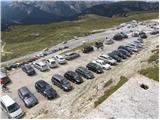
At the Auronzo hut, take the macadam road leading slightly east towards the Lavaredo hut. After about 20 minutes' walk along a very scenic road that leads under the mighty walls of the Three Cinquefoils, you will reach the Lavaredo hut.
From the hut, continue along the road, which quickly leads to a crossroads where you turn right towards Piani di Lavaredo. The path, which continues along the mulatiera, descends past a small lake and then, after crossing scree, leads to extensive meadows where, especially in the morning and evening, you can see many marmots. Here, a less visible path on the left leads to Sežana, and we continue along the mulatier, which begins to climb and, after a short ascent, leads us to the beautiful high-mountain lake "Laghi di Cengia". Just after the lake, the path starts to climb steeply and turns slightly to the left. During the ascent, a mountain path branches off from the mulatiera to the right in the direction of the 'bivacco de Toni', and we continue straight on along the path, which leads us past ruins and a small spring to the next meadow, which we cross in a cross-climb to the left. At the top of this ascent, the path leads to a crossroads where we continue to the right (Sežana to the left, straight down rifugio Locatelli). The scenic route then leads us past a cross to a slightly exposed but very wide artificial shelf, after which the path turns left and, after a short descent, leads us to the Pian di Cengia hut.
Path description:
At the Auronzo hut, take the macadam road leading slightly east towards the Lavaredo hut. After about 20 minutes' walk along a very scenic road that leads under the mighty walls of the Three Cinquefoils, you will reach the Lavaredo hut.
From the hut, continue along the road, which quickly leads to a crossroads where you turn right towards Piani di Lavaredo. The path, which continues along the mulatiera, descends past a small lake and then, after crossing scree, leads to extensive meadows where, especially in the morning and evening, you can see many marmots. Here, a less visible path on the left leads to Monte Paterno, and we continue along the mulatier, which begins to climb and, after a short ascent, leads us to the beautiful high-mountain lake "Laghi di Cengia". Just after the lake, the path starts to climb steeply and turns slightly to the left. During the ascent, a mountain path branches off from the mulatiera to the right in the direction of the 'bivacco de Toni', and we continue straight on along the path, which leads us past ruins and a small spring to the next meadow, which we cross in a cross-climb to the left. At the top of this ascent, the path leads to a crossroads where we continue to the right (Monte Paterno to the left, straight down rifugio Locatelli). The scenic route then leads us past a cross to a slightly exposed but very wide artificial shelf, after which the path turns left and, after a short descent, leads us to the Pian di Cengia hut.

Pictures:
 1
1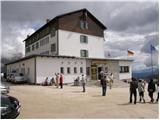 2
2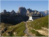 3
3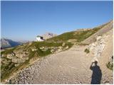 4
4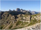 5
5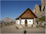 6
6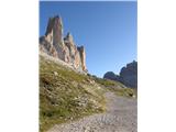 7
7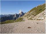 8
8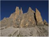 9
9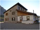 10
10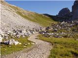 11
11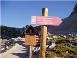 12
12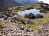 13
13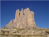 14
14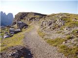 15
15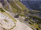 16
16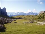 17
17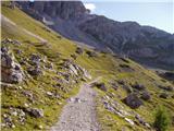 18
18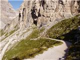 19
19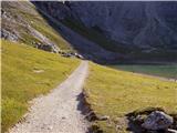 20
20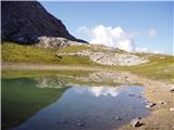 21
21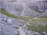 22
22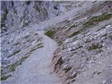 23
23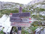 24
24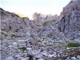 25
25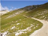 26
26 27
27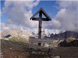 28
28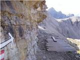 29
29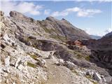 30
30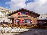 31
31
Discussion about the trail Rifugio Auronzo - Rifugio Pian di Cengia